Stats
Distance: 3.5 miles
Elevation gain: 4000'
Class (difficulty): 3
Time: 7 hours, 30 minutes
Report:
Only 4 people made it to the trailhead for the 3rd annual Idahosummits spring outing. That was down from the 11 people that showed up for last year's spring outing. I'm probably partly to fault, as I had to change the date. Weather also played a big factor, as a large storm was scheduled to hit Idaho the day of the outing.
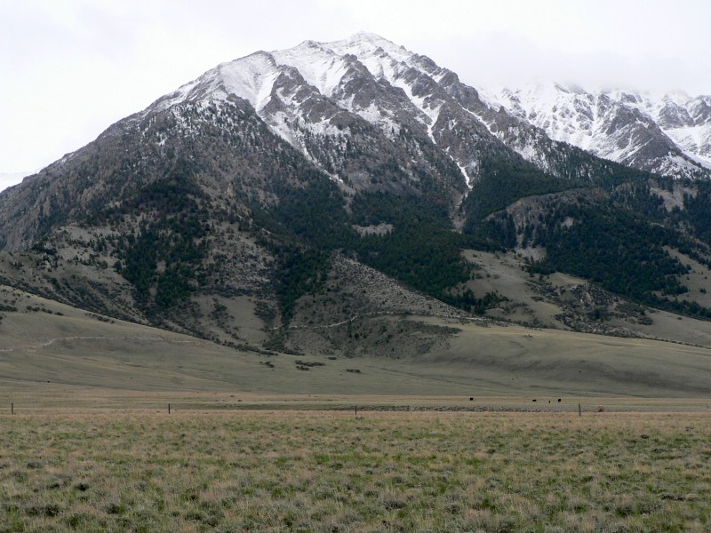
Despite a big climb of Mount Idaho the day before, Richard (Summit Dawg) and John (splattski) joined me for the climb of Point 11308. Craig (tetonmaniac) was also at camp, but stayed in due to leg cramps. We debated routes back and forth several times and then decided once we got to the base of the west side of 11308 that we would utilize the 3rd gully from the north to ascend. So we headed up the hillside on an open slope that eventually became timber just before getting to the entrance of the 3rd gully. We looked into the gully and noticed it was a mess of wood and technical rock. We made a decision to take the northernmost gully, even though we knew snow was limited in it.
The inital part of the gully was steep and loose. As the gully narrowed down, the rock was a bit more solid, which was good beings that there was a fresh coating of new snow making things slick. When we got through the narrowest section, the gully had a more northerly aspect and contained good, hard snow. We put on crampons at this point. I had purchased new boots and step-in crampons. That combo worked very well on Mount McCaleb. However I had to return the boots because they had prior damage and the new order had not come yet. Still wanting to use the crampons, I tried the step-ins with my old La Sportiva Glaciers. It worked like a charm in my living room, despite no front toe rand on the Glaciers. However, about 100 feet up the snow field, my left crampon came loose. I adjusted and fiddled, but could not get them to stay secure (hmmm... my home must not have caused the pressure the slope did). I did my best and finished out the snow climb that got fairly steep before ending a couple of hundred feet below the north ridge. We then scrambled up onto the ridge and I was reunited with a place I had been in January of last year. I commented to Richard that my last trip up this peak ended here, as did his. Both of us couldn't get past this point (10600') before due to bad snow... not much had changed for this round.
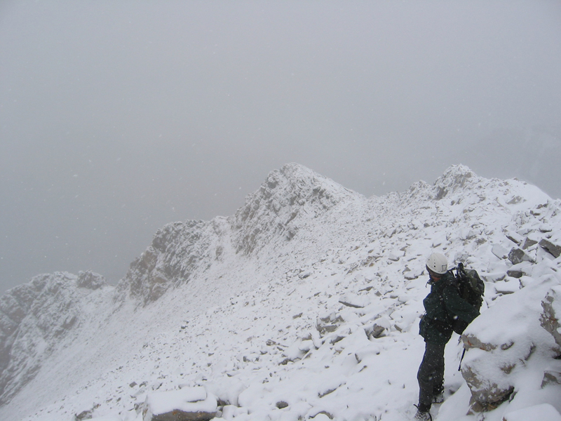
Just past the top of the 1st gully, the ridge was a definate challenge. We worked our way back and forth on the ridge, trying to minimize exposure while making a lot of tough moves on the narrow, exposed, and freshly snow covered ridge. With the falling snow and wind, it was like a scene out of a mountaineering movie and a blast. Just before the summit, the ridge eased up and we put back on our crampons for the final snow slope. It seemed to snow hardest while we were on top and the wind picked up. So after some quick photos, we hurried down the slope. On this section, Richard did some awesome route finding just below the ridge on the west side. It was still tricky footing, but it saved us a lot of time and exposure from what we did on the ascent.
At the top of the snowfield we took a break and discussed options. I didn't really want to go on the snow again with my boot/crampon situation, so I opted to continue on the north ridge. Richard also liked that option thinking the new snow would cause balling issues on the downclimb of the snowfield. John, being the ultimate trooper, just wanted to stick together, so he stayed with us down the ridge. Instead of taking the gully we took a tree-covered slope that wasn't ideal, but better than the snow-covered scree in the gully. Eventually we made it back to the car tired, but very satisfied with our fun day.
Getting there:
Drive north of Mackay on Highway 93 for 18 miles. Look for a turnoff just past an old canyon before the road banks to the left (west). There is a gate right off the highway that needs to be opened. Follow this decent road toward the base of 11308. Several less traveled roads lead to the base of the peak.
Hiking instructions:
See the trip report.
|
|
Photos
|
|
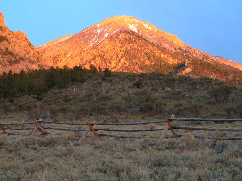
| 11308 at sunset from the Borah trailhead. |
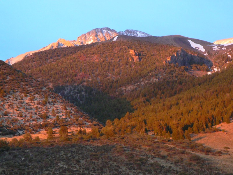
Borah at sunset. |
| |
|
|
|
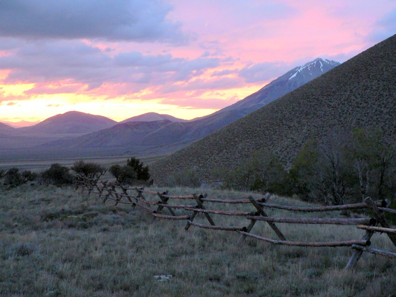
| One last sunset photo... |
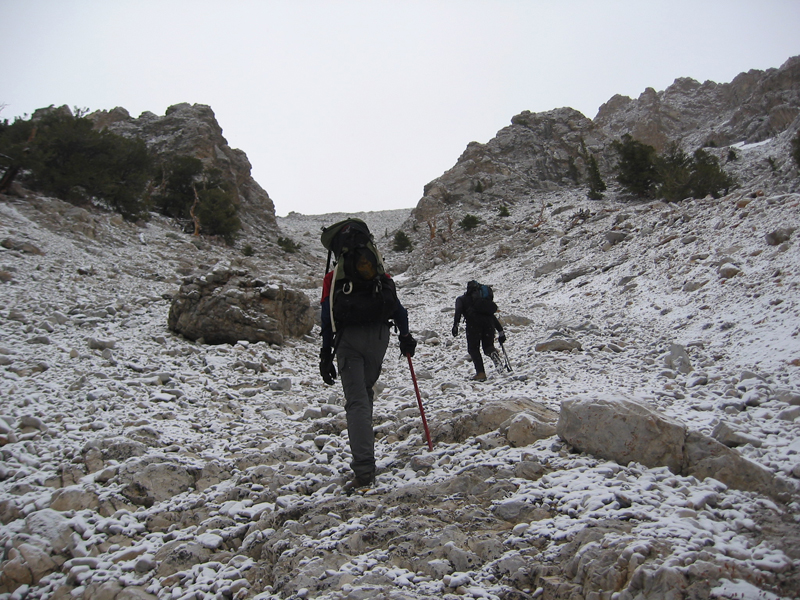
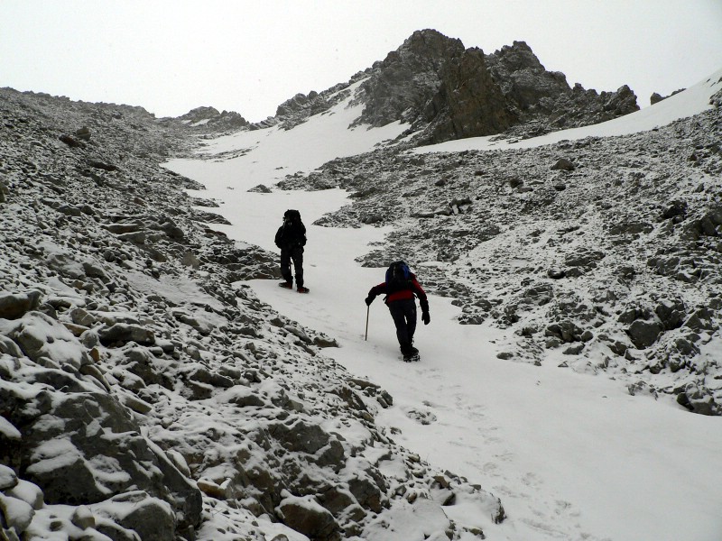
Summit Dawg and I entering the gully (John Platt photo). |
| |
|
|
|
| John and Summit Dawg after putting on crampons. |
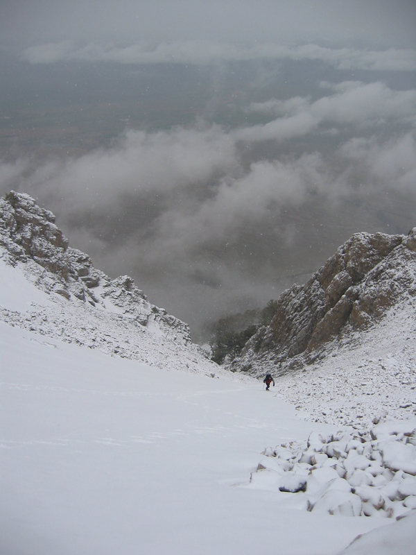
Me on the snowfield (I am so tiny because I had to stop and adjust my crampons twice). (John Platt photo) |
| |
|
|
|
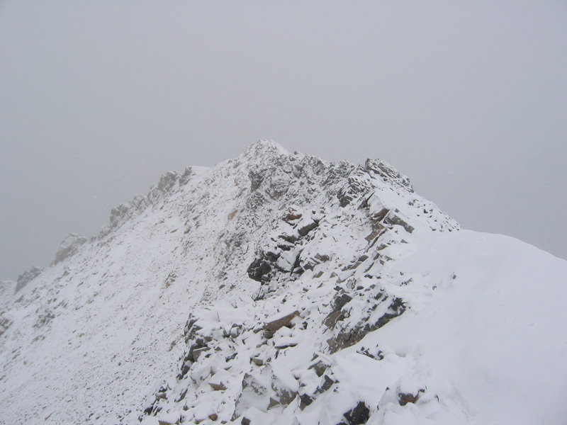
| The slick, knife-edge ridge. |
Summit Dawg on the ridge. |
| |
|
|
|
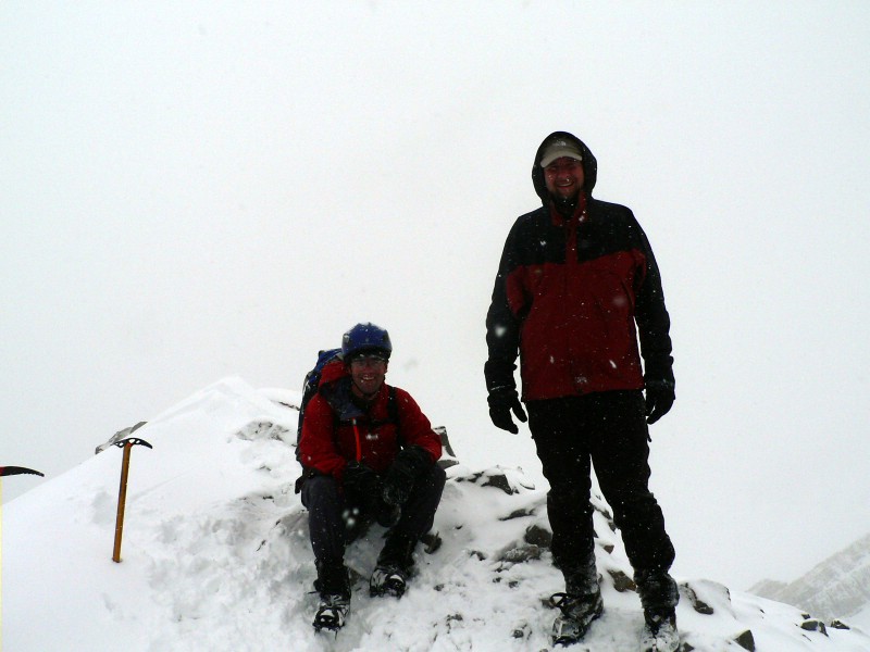
| John and myself on top. |
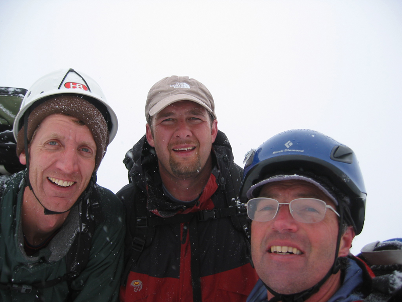
All 3 of us on top. |
| |
|
|
|
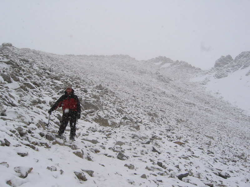
| Me on descent. |
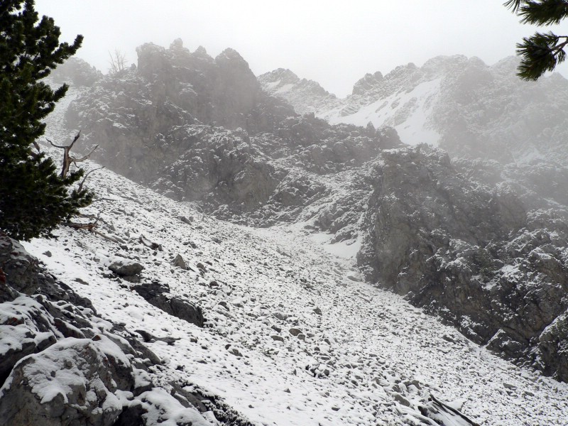
Typical view of the day... rocks, snow, and clouds. |
| |
|
|
| 11308 after the climb. |
|