RockyMountainSummits.com Home  |  My Peak List  |  Message Board  |  Contact Me


Angels Perch - 11687 Feet.


Mike leads the group down a gully.

Trip Report (9/25/2004):
In a reunion of sorts, the IdahoSummits team got back together for an ascent of Angels Perch from Wildhorse Canyon. As in May, the group was fun to hang out with and loaded with personality. In attendance were Dan, Mike H., Eric L., Earl and Larry M., Matt D., Kevin D., and Brendon.

I chose the route coming up the west side of the peak from Wildhorse Canyon because it looked scenic, was very short, would be the first documented ascent, and appeared to be a straight forward class 3 scramble based on the topo. I think the topo for the area doesn't quite reflect the real steepness of this area and the climb had more obstacles than expected.

We headed up the west side of the peak just north of the creek coming down from above. At roughly 9100 feet, we crossed the creek and headed up the ridge just south of the peak. This ridge has a knife edge -- with some exposure -- that was a blast to cross. Just above it, the route mellowed a bit and we finished our way to the south ridge on a snow covered slope.

Once on the south ridge, we made our way up the the summit by detouring onto the east side, using ledges to progress. There were a few moves in this area that were tricky, but everyone made it through. Though it was some of the more difficult terrain I'd been on, it was also the most enjoyable as well, and I really didn't feel nervous at any point.

On the way out, we took the gully just south of the peak down until it got below a group of pinnacles, then retraced our route down.

Trip stats:
Time: 7 hours
Length: 4 miles
Elevation Gain: 4200 feet
Class (difficulty): 3-4 (some thought 3, others 4)

Drive:
Go to Wildhorse CG. Here are directions:

From Mackay: Take US Highway 93 16 miles north of Mackay to the Trail Creek Road. Turn left on the Trail Creek Road. Follow this road 18 miles to the Copper Basin Road. Turn left on the Copper Basin Road. Follow this road 2 miles to the Wildhorse Creek Road. Stay to the right on the Wildhorse Creek Road. Follow the Wildhorse Creek Road 5.5 miles to the campground.

From Sun Valley/Ketchum: Take Highway 75 (main street) to Sun Valley Road. Turn northeast onto the Sun Valley Road. This road turns into Trail Creek Road. Follow this road to the Copper Basin road. Turn right on the Copper Basin Road. Follow this road 2 miles to the Wildhorse Creek Road. Stay to the right on the Wildhorse Creek Road. Follow the Wildhorse Creek Road 5.5 miles to the campground.

From the campground drive 2 miles on rough and slow roads that will require high clearance and patience.

Route:
Explained in the trip report. There is a class 2 route coming up from the east side.

Pictures: Click on the pictures below to see the full-size version.
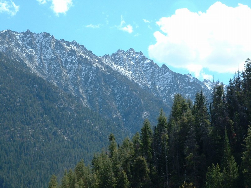
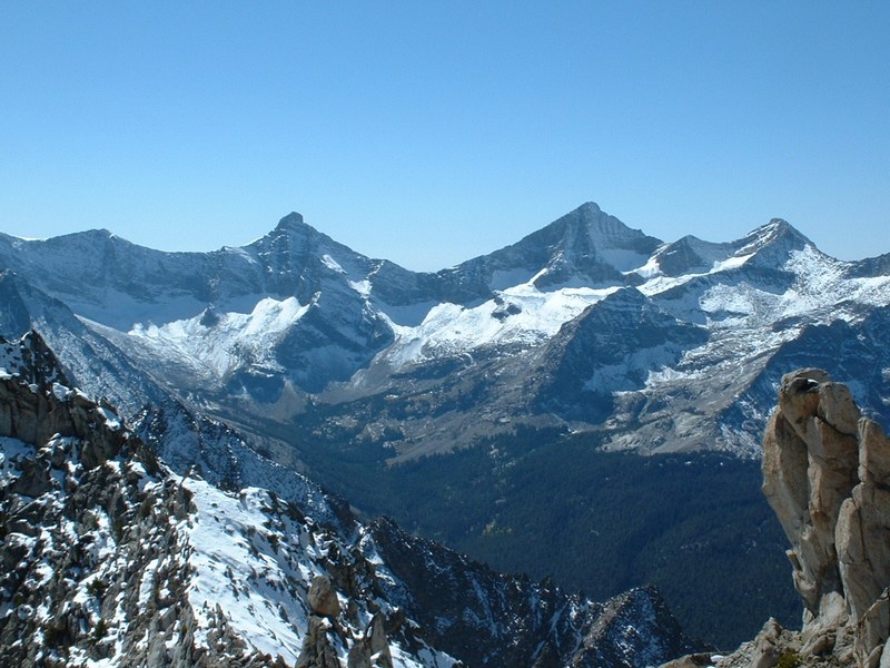
Angels Perch from Copper Basin (Mike Howard photo).
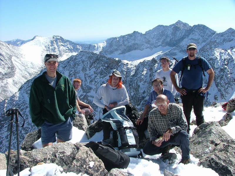
Group on the summit (Mike Howard photo).
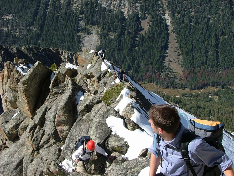
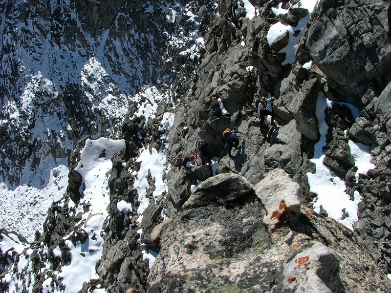
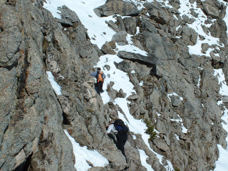
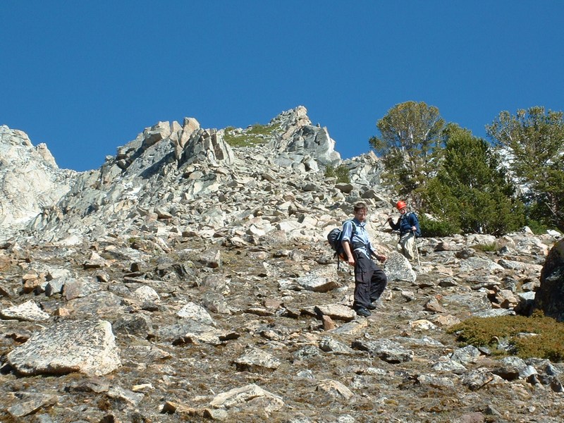
Knife-edge ridge we crossed on the way up (Mike Howard photo).
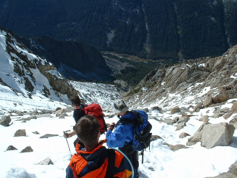
Picture coming up the backside of the peak (Mike Howard photo).
Picture of a gully used on the backside (Kevin Donaldson photo).
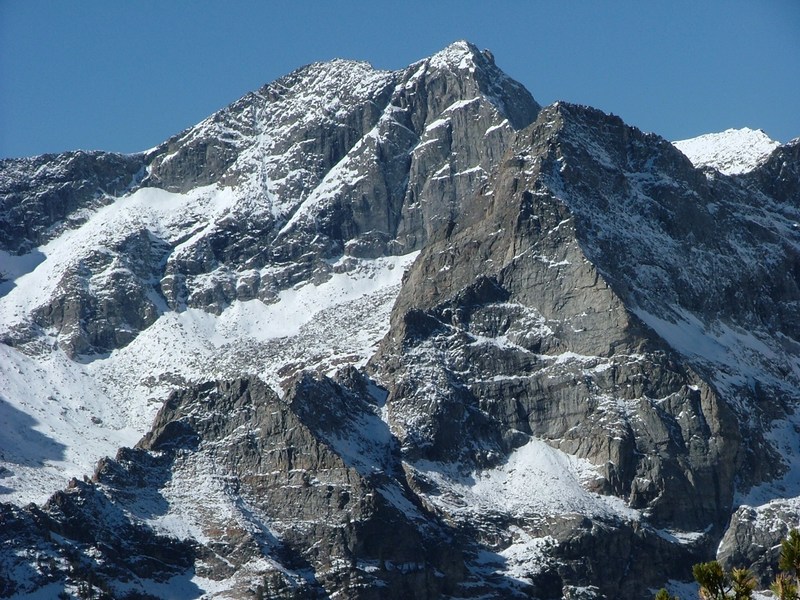
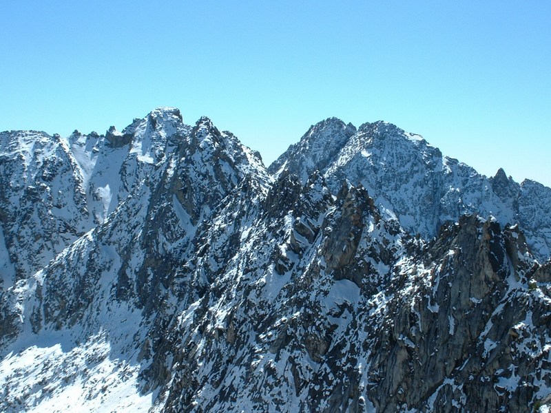
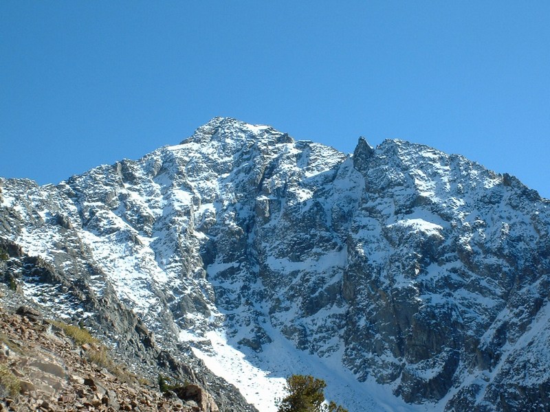
Close-up of Goat Mountain (Mike Howard photo).
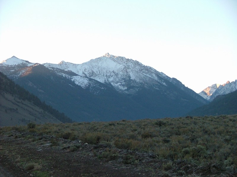
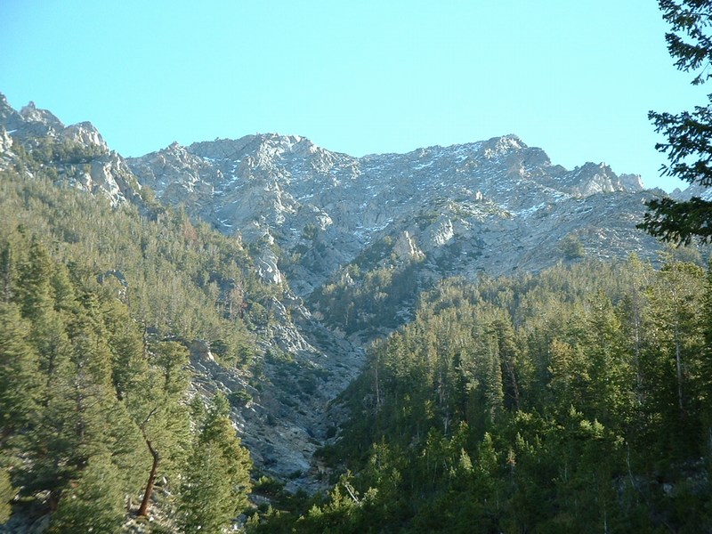
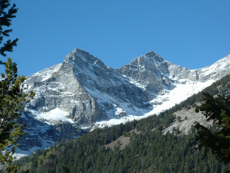
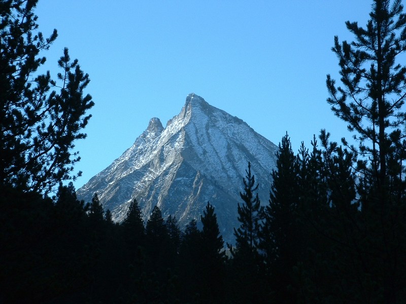
Looking up at the peak from Wildhorse Canyon.
Pic of the peak from Boulder Creek the next day.
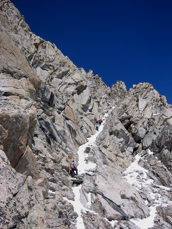
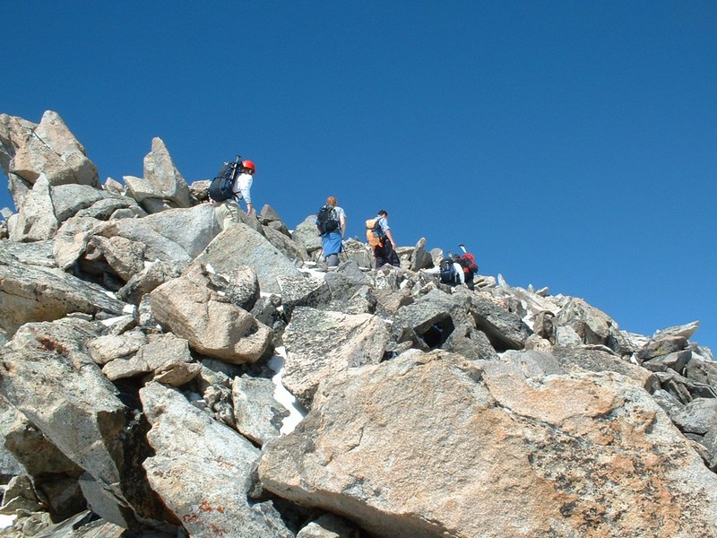
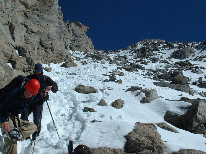
Brendon and Kevin scrambling.
Part of the route on the east side of the south ridge.
Looking down the south ridge, we mostly stayed on the left hand side.
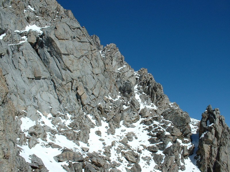
Looking at the entire ridge leading south.
The guys on the last few feet to the top.
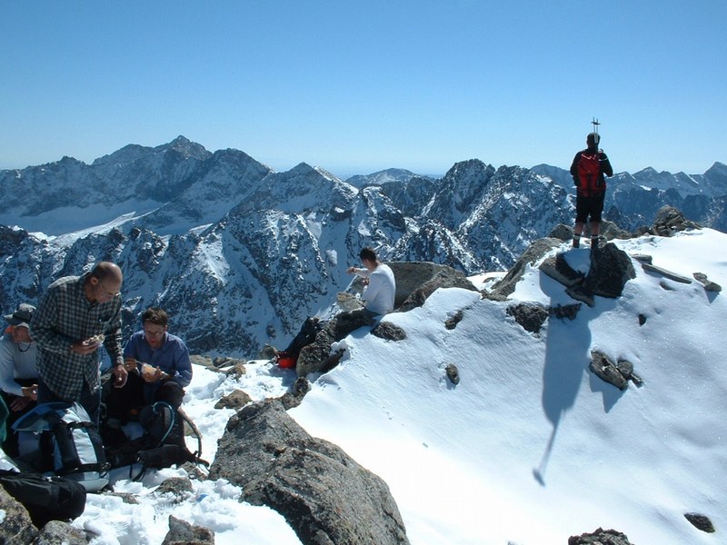
The guys on top.
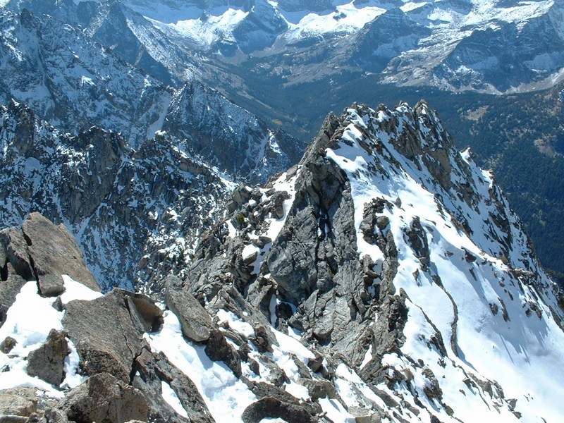
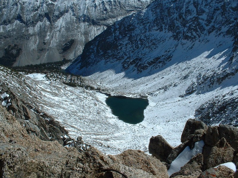
Unnamed lake southeast of the summit.
Old and young Hyndmans from the top.
Unnamed peaks below Goat Mountain.
Unnamed peak just south of Angels Perch.
Matt and Larry coming down the gully.
Matt and Brendon coming down the west ridge.
"Howard" Peak at the head of Wildhorse Canyon.
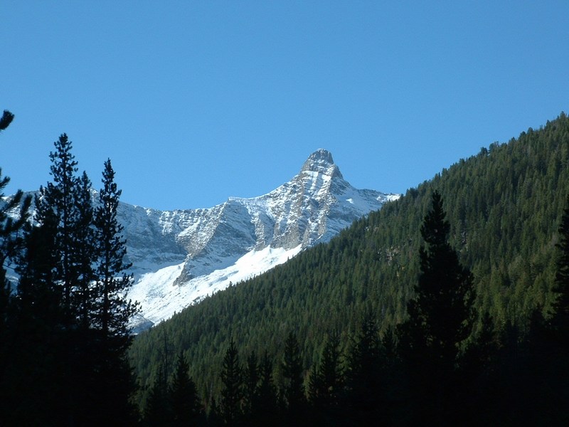
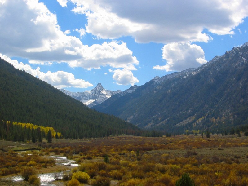
Old Hyndman from Wildhorse Canyon.
Devils Bedstead from Boulder Creek (Day 2).
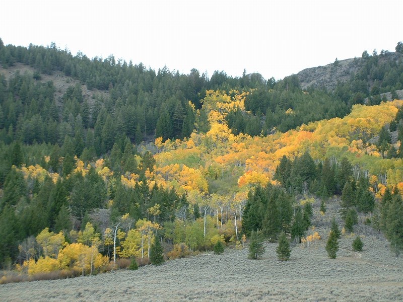
Aspens in Wildhorse Canyon.
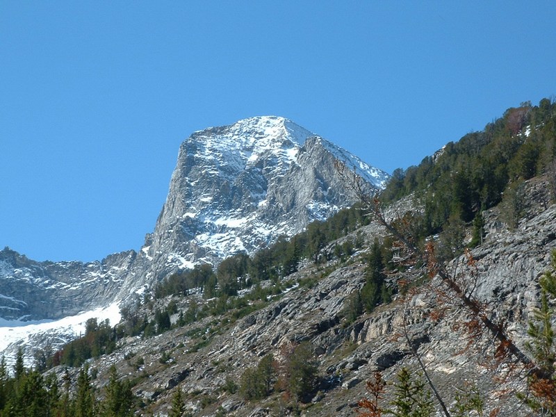
Another picture of Old Hyndman from Wildhorse Canyon (Kevin Donaldson photo).


All Rights Reserved RockyMountainSummits.com