Stats
Distance: 9 miles roundtrip to Baptie, 3 miles roundtrip from Baptie to Standhope, 6 miles roundtrip from Baptie to Altair
Elevation gain: 2320' to Baptie, 1700' from Baptie to Standhope, 2400' from Baptie to Altair (due to elevation loss traveling between drainages)
Class (difficulty): Easy 3
Time: N/A
Report:
On my first backpacking trip of the year (unless you count Mount Rainier, which did involve a backpack, just not your traditional hike to a lake and hangout outing), I joined Todd and John on a trip to Baptie Lake in the Pioneer Mountains. When I first started investigating the area I could find little information. Then I found information out in Margaret Fuller's book, talked with someone that had been there, then saw Dave Pahlas' photos and report on the area.
The goal of the trip was to hang out at Baptie Lake (10150') and visit Goat Lake (Idaho's highest) and Betty Lake. We also planned to summit a few peaks in the area, like Peak 11887, Standhope, and Altair.
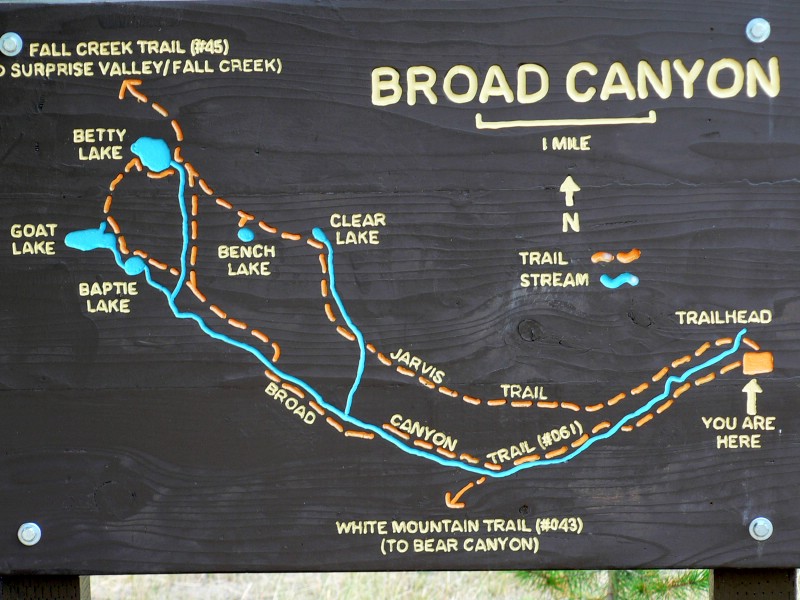
What we learned at the nicely signed and maintained trailhead is that the trail system is a lot more complete than shown on the topo map of the area. There are good trails to Baptie Lake, between Baptie Lake and Goat Lake, between Goat Lake and Betty Lake, and from Betty Lake to the saddle between and Standhope and Altair peaks. None of those are shown on the topo. In addition, the topo does not show the Jarvis trail, which leaves from the same trailhead that we used, but ascends another drainage on its way to Betty Lake.
The hike in was uneventful (man, I should go count up the number of times I have used that boring intro into a trip report). We assumed it would be a quick and easy hike in based on mileage and distance, but it turned out to be rough because the trail gains all of its elevation during the last mile or so before Baptie Lake.
We found our campsite at Baptie Lake in the evening on Friday and spent the remainder of the evening shivering with cold winds and occasional ice pellets driving us to an early bed time.
Saturday morning dawned crisp and clear, but clouds quickly formed and lowered, keeping things dark and cool. At some point we gave up on perfect sunny weather and hit the trail to Goat Lake with plans on climbing up Standhope and taking a look at Peak 11887. We reached Goat Lake and then ascended to the Goat/Betty saddle on a nice trail. Once at the saddle, we turned onto Standhope's southeast ridge and followed it to the top. Climbing was easy and never got above easy class 3, even if you stayed on the ridge crest (cheating to the right would allow you to use loose, but class 2 slopes).
I was not feeling myself all day, but as we neared the summit I worsened. Once on top a quick nap rejuvenated me a bit, but not enough to head over to Peak 11887 (plus Todd and John were not interested). So we descended and hung out around camp at Baptie. After lunch, a couple hours of fishing, and better weather, the peak bagger in me took over (I don't fish, what the hell was I thinking!). I knew I wouldn't feel like climbing Altair in the morning and we really didn't have time for it, so I calculated the numbers and figured if I left soon I could tag the top of Altair and be back by sundown.
I returned to camp and was surprised that Todd said he would walk to Betty Lake with me. When we got to Betty, I said goodbye to Todd and started up the trail. Todd hollered out that he didn't expect a trail and said he'd accompany me on the trail section. I then said that would get him within 30 minutes of the summit, so he might as well go all the way� and he did.
The climb of Altair's west ridge is listed as a classic in Idaho: A Climbing Guide. With a dog in tow, I guess Todd and I bypassed the cool scrambling, because all we dealt with was decent, but somewhat loose class 2 terrain, with a rare easy class 3 move. Being nearly 7pm, the patterns with the low sun and clouds were really on display from Altair's summit.
We got back to camp with a few minutes of light to spare. That night cleared out, but was actually warm and wind free. Sunday morning brought sun and warm temperatures for our hike out. All was well until about a mile of driving from the trailhead, when we picked up 2 gals that had blown out 2 tires on their truck. We drove them to Hailey and dropped them off at a hotel to wait until the Les Schwab opened the next day. That cost us a trip to the Burger Grill in Ketchum and forced us to wait another 15 minutes before getting to eat real food again, but I was glad to help out the ladies.
Hiking instructions:
To get to Baptie, take the Broad Canyon trail and follow it 4 miles, taking the left fork .5 miles from the lake.
To get to Standhope, climb to the Goat/Betty Lake saddle on a nice trail and follow the class 3 (easy) southeast ridge to the top. The ridge has solid rock and one could even climb an even less steep gully to the right of the ridge if the ridge presented too much difficulty.
To get to Altair, make your way to Betty Lake. Take the trail heading to Betty/Altair saddle that leaves from the southeast corner of the lake. Just before the saddle, head up Altair's west ridge, avoiding the initial rock tower. Stay on the ridge, dropping onto the south side to avoid one section of towers. Up high, pretty much any route is obstacle free.
Getting there:
From Sun Valley/Ketchum: Take Highway 75 (Main Street) to Sun Valley Road. Turn northeast onto Sun Valley Road. This road turns into the Trail Creek Road (closed in winter). Follow this road to the Copper Basin Road. Turn right onto the Copper Basin Road. Follow this road 13 miles to the Copper Basin Loop Road. Turn right on the Copper Basin Loop Road. Follow this road 7.5 miles to the Broad Canyon Road. Turn right on this road and follow it for 0.5 miles to the trailhead.
For details on the trailhead and camp site, visit the this Forest Service page.
|
|
Photos
|
|
| Baptie Lake. We camped under the trees in the picture. |
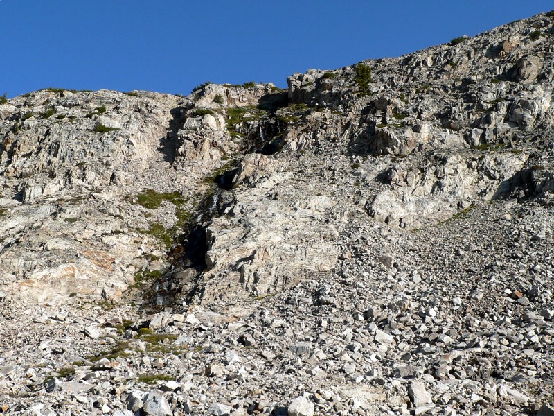
The creek (waterfall) between Goat and Baptie. |
| |
|
|
|
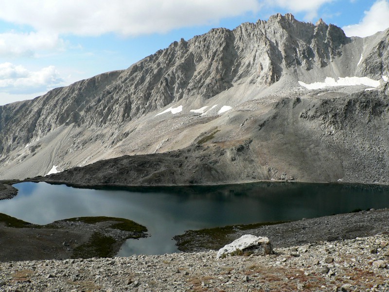
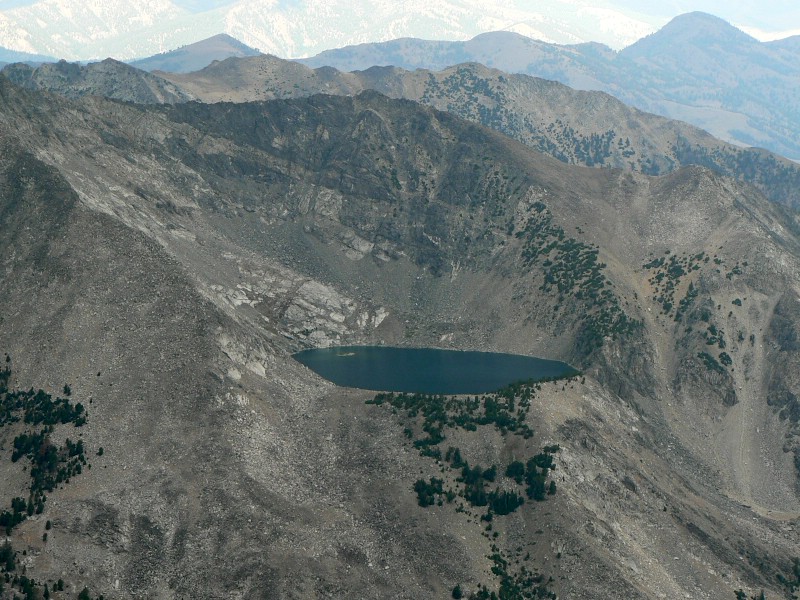
| Goat Lake, Idaho's highest lake. |
Standhope's southeast ridge. |
| |
|
|
|
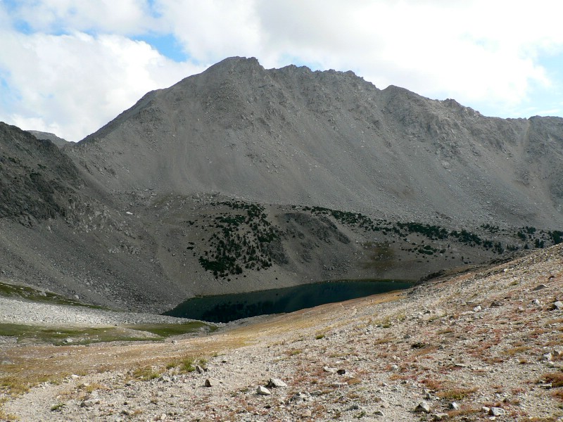
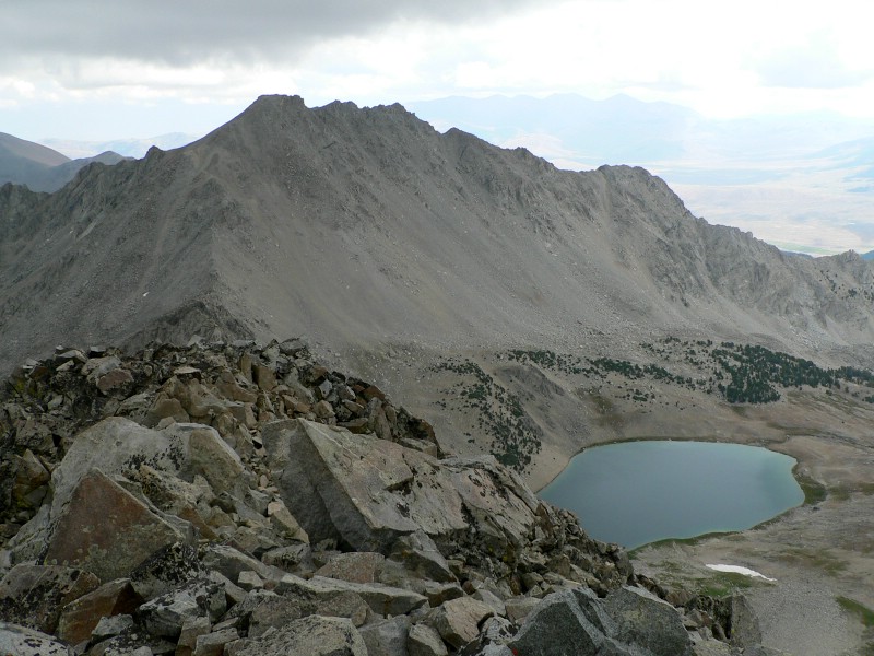
| Altair Peak and Betty Lake from the Goat/Betty saddle. |
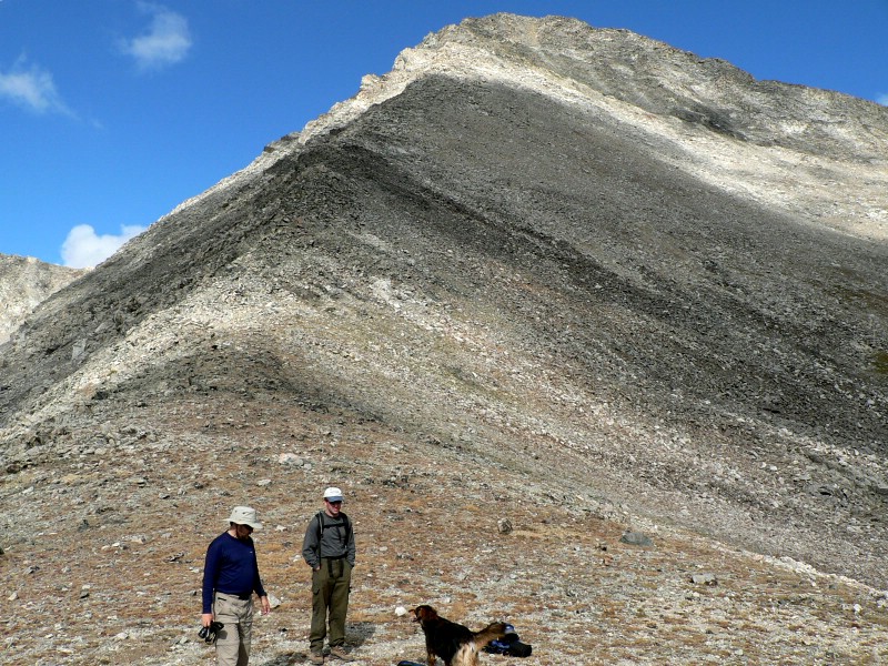
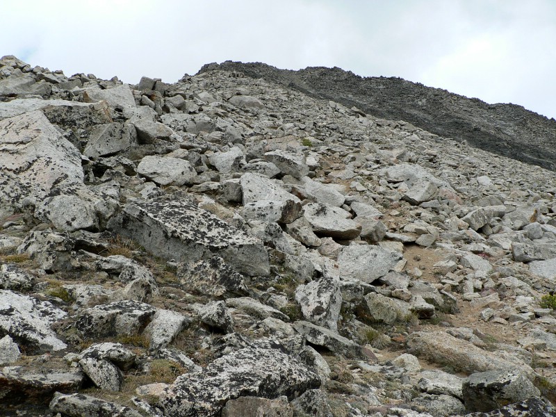
SE of ridge of Standhope about 1/2 way up. |
| |
|
|
|
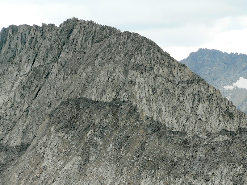
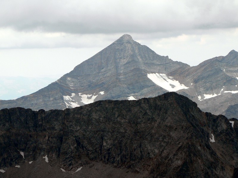
| Altair Peak from Standhope. |
Peak 11887 from Standhope. |
| |
|
|
|
| Angel Lake across Fall Creek from Standhope Peak. |
Hyndman Peak from Standhope. |
| |
|
|
|
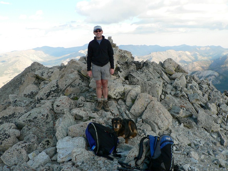
| Todd on Altair Peak later that day. |
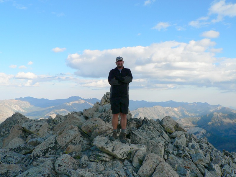
Me on Altair. |
| |
|
|
|
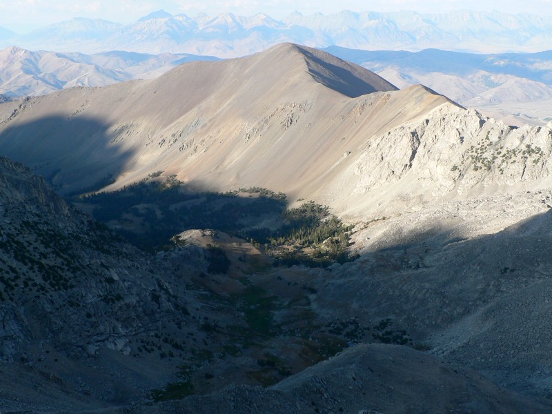
| Big Black Dome from Altair. |
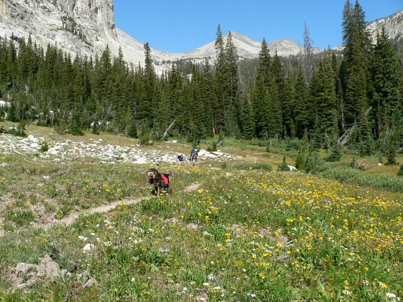
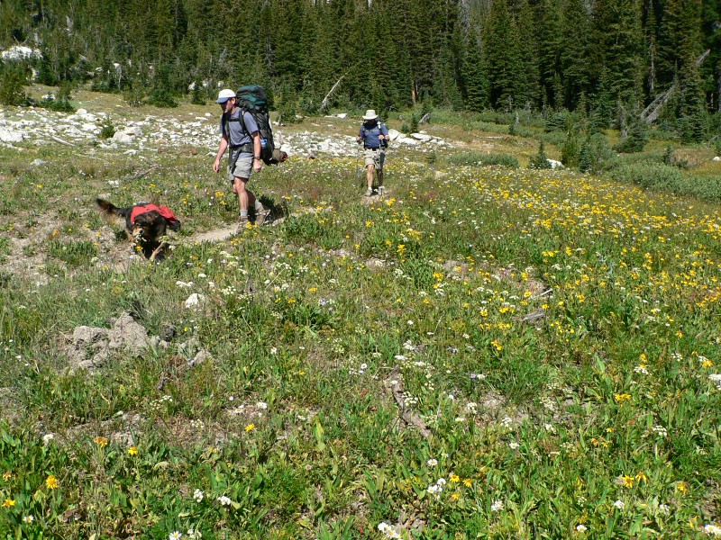
Cool meadow on the way out. |
| |
|
|
|
| Another shot of the cool meadow. |
A sign that shows the trails that really exist in the area (the topo does not show most of them). |
|