Stats
Distance: 11 miles
Elevation gain: 3100'
Class (difficulty): 2
Time: 6 hours
Report:
Sometimes people smirk at the idea of peaklists, whether it be county highpoints, the 50 most prominent peaks in the state, or even the "x" number of highest peaks in some region. What I have found over the years is that peaklists are effective motivators for me. So when I submitted my prominence 2000k map recently, I noticed it had a big gap in it very near Boise.
I had researched climbing Bennett Mountain before, but for some reason put it on the backburner thinking it would be iffy for a winter climb. Motivated by the gap on my completition map, I researched routes on the mountain harder. I found one route that was about 10 miles and 2000 feet each way. I knew that was well within reason even in horrible snow conditions, but we had a long melt/thaw cycle recently with little new snow, so it seemed like a perfect time for the ascent.
When I mentioned my plans to Zach, he mentioned we might have to contend with private property. In fact, he was sure the road I mentioned was gated and posted. When I called John to see if he was interested, he said yes, but also mentioned the private property issue. We decided to check it out anyway, guessing we could find a legal way to access the peak.
As predicted, the several approach roads we planned to check out were gated and posted. We decided to drive about 5 miles down the road and look for a new location. Within 1/2 a mile of driving I noticed another road heading towards the peak and didn't see any signs on it. We pulled over and parked at the turnout for the road. This location was lower and further away then the original plan, but certainly doable. So with a temparature of 5°, we started preparing for the hike.
We started out on a road, then transitioned to sagebrush covered slopes. Once we attained the ridge, we headed for a junction with the ridge and the road we had originally planned on following to the summit (the one that was gated at the highway). We met the road just where the private property ended and could now follow the main road (packed down by a snowcat).
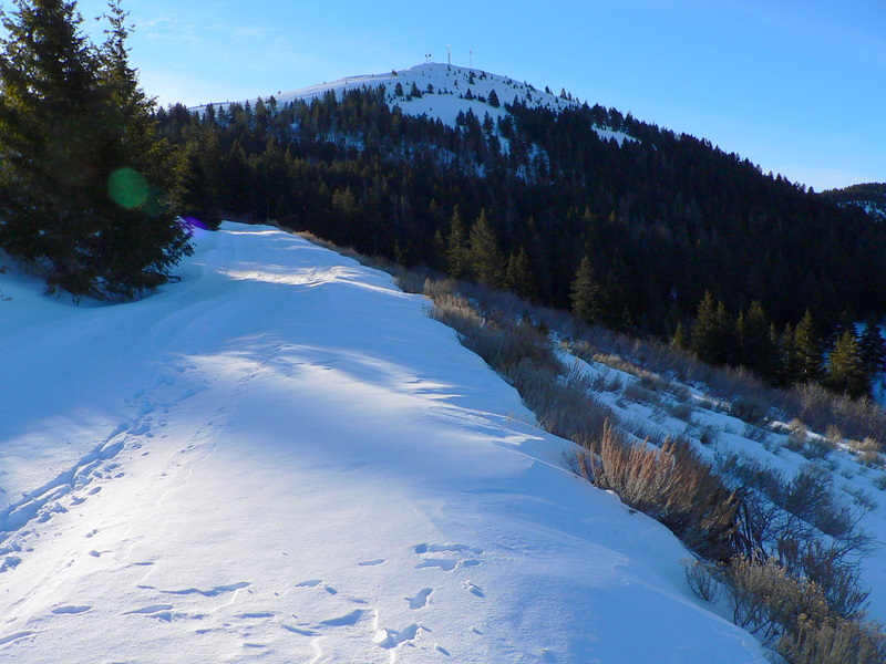
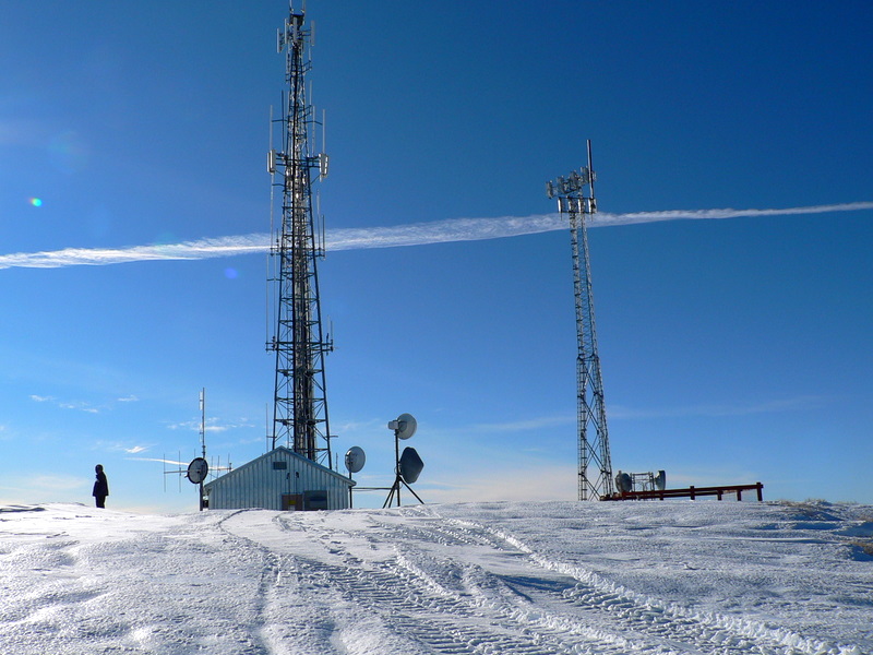
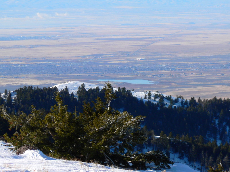
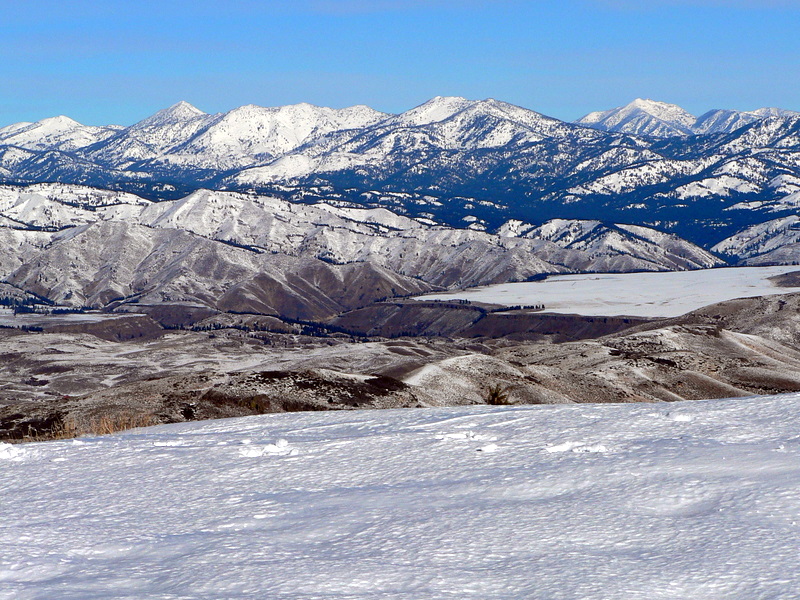
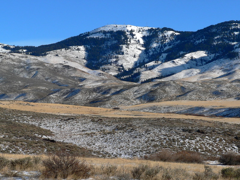
The road switchbacked through open terrain at first, then trees for quite a while, and eventually opened up near the summit. As we neared the summit, we could see numerous out buildings and several large radio towers. While the towers took away from the summit's aesthetics a bit, the views in all directions were incredible! We could see the Magic Valley and even the Jarbidge Mountains to our south. To our west, we could clearly see the Owyhee range, Danskin Peak, and Bogus Basin. To our north were the Trinity and Soldier mountains. To our east, we had views of the Camas Prairie and even the high Pioneer peaks if you looked close enough.
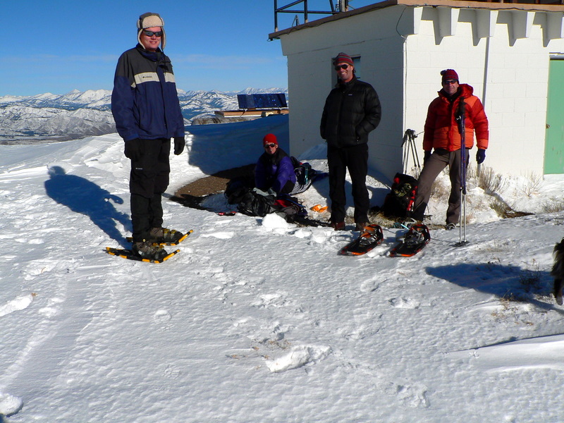
The weather turned out to be great. A bit cold and windy to start with, but very pleasant (and maybe even a bit warm on top). The hiking crew was great. I got to meet yet another of John's friends and caught up with Zach a bit more on the hike. Another great outing, this one only an hour drive from my front door. Can't beat that!
Getting there:
The start of the hike was about .6 miles past Dixie Summit (heading toward Fairfield). Look for a road that only leads about 1/2 a mile into the mountains.
Hiking instructions:
Follow the road about 1/4 of a mile. At the point, climb out of the small valley you are in to the ridge on your north or south. Follow that ridge south to where it intersects with the road coming in from Dixie Summit. Follow the road the rest of the way to the peak.
|
|
Photos
|
|
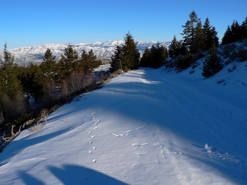
| The approach road. |
Bennett Road from the approach. |
| |
|
|
|
| Summit towers. |
The group on the summit. |
| |
|
|
|
| Mountain Home from the summit. |
Trinity Mountains from the summit. |
| |
|
|
|
| Soldier Mountains from the summit. |
The summit on the way down. |
| |
|
|
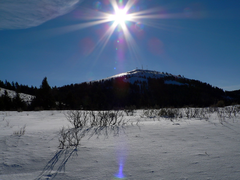
| Bennett Mountain from Highway 20. |
|

