RockyMountainSummits.com Home  |  My Peak List  |  Message Board  |  Contact Me  |  View the Guestbook  |  Sign the Guestbook


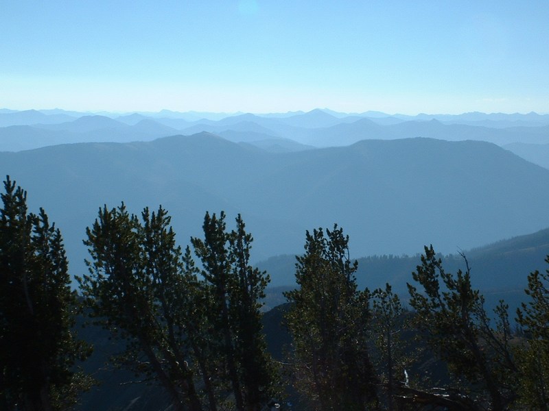
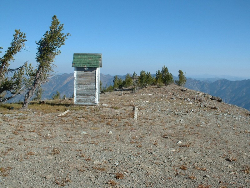
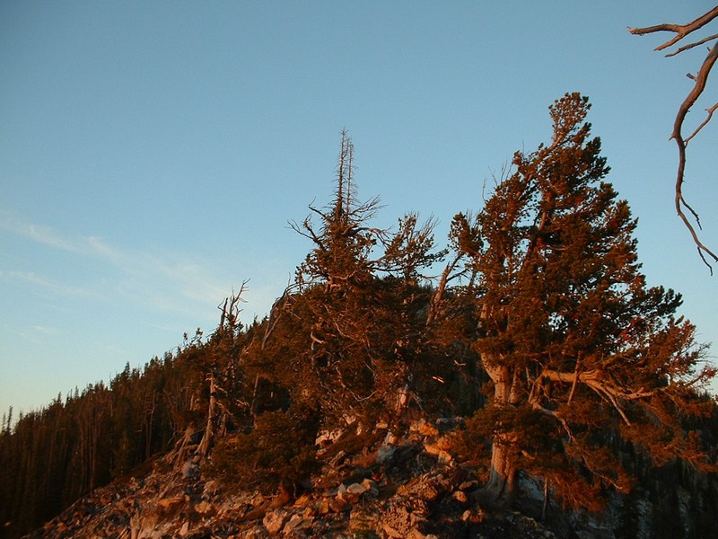
Big Baldy - 9705 feet


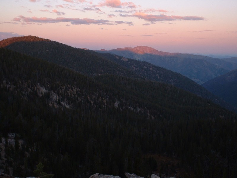
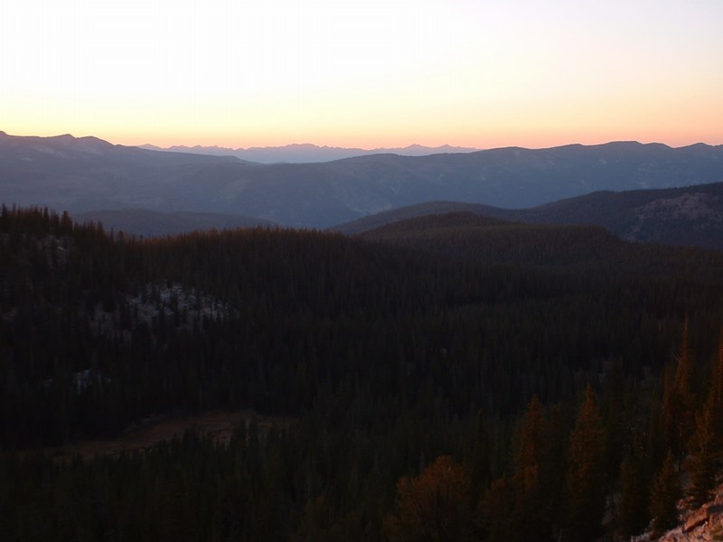
The sun sets on Big Baldy.

Trip Report (10/05/2004):
Big Baldy was my final highpoint of the 44 Idaho counties. It is a remote mountain in a beautiful, dramatic area of deep canyons, long ridges, and thick forests.

The top of Big Baldy is home to a lookout, an outhouse, and incredible views. The view from the top is expansive and might take in more terrain than any other I have seen to date.

The approach is long and not ideal for day or overnight packing. I utilized a small lake (12 miles from the trailhead) just above Buck Lake as my basecamp for Big Baldy. Day 1 was spent getting to that lake. Day 2 was summit day, then returning to the trailhead. That made day 2 a 20-mile day... only recommended for devoted souls!

A decent trail leads to the lake. From there, it can be tricky to follow, but really deteriorates on the western flanks of Big Baldy. It really doesn't matter at this point, because you can head up the slopes to the lookout at this point anyway on steep, but good footing.

Trip stats:
Time: 16 hours (2 days)
Length: 32 miles
Elevation Gain: 9800 feet
Class (difficulty): 2

Map:
Click Here

Drive:
Turn east off Idaho 55, just north of the town of Cascade, onto Forest Road 22 (signed "Warm Lake"). Follow this paved road past the resort area of Warm Lake and continue easterly on pavement (now FR 579) to Landmark junction (33.7 miles from SR 55). Reset odometer (0.0). Continue straight ahead to a bridge (0.2 mile) and cross the river (now on FR 447 - 579 went south on the west side of the river). The pavement ends in this vicinity, but the dirt roads were in fine condition all the way to the trailhead. Stay on FR 447 to the trailhead. Landmarks along the way are a junction at 4.0 miles, signed "Artillery Dome" - keep left; a bridge over signed "Burntlog Creek" at 7.8 miles; and two more bridges at 11.5 and 12.9 miles. There are some forks with roads of various quality, many unsigned, but the main road is always obvious. The trailhead is reached 17.1 miles from Landmark junction. A sign on the right shows trail number 090 heading up to the ridge.

Route:
From the trailhead, follow the Buck Creek trail east to its intersection with the Summit Trail. Follow the Summit Trail northeasterly to Chilcoot Pass. From the pass, head northeast, with your next goal being to reach the trail junction north of the intermittent lake shown on the topo. At the junction, you find a well-traveled jeep road. Follow this road northeast for about .5 miles until you reach a large switchback. Here a sign directs you to the trail that will lead you to the pass between Trapper Peak and Pistol Rock. From the pass, the trail drops slightly down to a small pass just east of Pistol Rock and at the western beginning of Big Baldy Ridge. Follow the trail heading east from the pass. I found the trail a bit sketchy in spots after the pass, but I could usually find it within a few hundred feet. The next portion of the trail, while beautiful, is a long and tiring, up-and-down grind. The ridge from Point 8787 on is spectacular, with vistas in each direction. The trail down to Buck Lake is obvious, but takes longer to get to then expected. Once at Buck Lake, the trail to get you back on Big Baldy Ridge is a bit tricky to find. Look for it in the trees just north of the unnamed lake west of Buck Lake.

Once back on the ridge, just follow the trail as it undulates easterly towards Big Baldy. From Point 8989 on, I found the trail difficult to follow in spots and eventually gave up on it when I was directly west and below Big Baldy. At that point, I picked a direct, cross country route for the summit. The slopes on this side of the peak are broken timber, steep with good footing, and the summit tower is usually in view.

Pictures: Click on the pictures below to see the full-size version.
Buck Lake basin.
Big Baldy from the west.
Lookout tower on Big Baldy.
dan robbins
View east from Big Baldy.
View north from Big Baldy.
Yours truly on Big Baldy.
Sunset on the western horizon.
Tree at Chilcoot Pass, indicating the enterance into wilderness.
Chilcoot Pass.


Please send comments, suggestions, and questions to dan@idahosummits.com.
© 2001 All Rights Reserved RockyMountainSummits.com