RockyMountainSummits.com Home  |  My Peak List  |  Message Board  |  Contact Me  |  View the Guestbook  |  Sign the Guestbook


Big Black Dome - 11353 Feet


Big Black Dome from the trailhead.

Trip Report (6/25/2005):
After considering numerous peaks in several areas this past week, I finally decided to join two co-workers and head to Copper Basin to attempt Big Black Dome. My co-workers had planned on doing Ryan Peak, but snow levels put a damper on those thoughts. I figured Big Black Dome would still get them above 11000', but have less post-holing and avalanche potential than Ryan Peak. It turns out I was right (again, sigh...), as Big Black Dome was pretty much snow free.

I had never hiked with Carrie and Holly, but knew that they were in great shape and were enthusiastic about the outdoors. I really enjoy hanging out with people that either are new to hiking or don't get the opportunity to get out a lot, as they always point things out that I might not notice anymore and have so much fun. Carrie and Holly were no different, and even pushed me out of my norm by suggesting an alternative descent that I would not have done otherwise.

After camping at Phi Kappa CG off of Trail Creek Road and only 4 hours of sleep, we got an early start and drove the remaining 20 miles or so to the Big Black Dome trailhead in Copper Basin. I had never been to Copper Basin and it was breathtaking. I don't want to get girlish here, but the purple and yellow flowers -- combined with the green terrain and meandering rivers -- made for an awesome scene. We could see the entire route on Big Black Dome from the trailhead and now knew snow would not be an issue. Other peaks in the area had a lot more now, so it was our lucky day I guess!

The first part of the hike was on an old road. It was somewhat gradual and the views of Borah from it were great. At .70 miles we reached at fence line and the road headed due west and steeply up the ridge above us. At 1.1 miles the road turned northerly and brought us to the east ridge at 1.6 miles. Having hiked for an hour, we took a break shortly past this point, with views of the Lost River peaks and Copper Basin opening up around us. Having gained 1500' in one hour -- an hour that included me holding the group up taking photos (that photo turned out great BTW Carrie) -- I realized Carrie and Holly were indeed in good shape and would reach the summit fine.

After about 500 more feet of hiking through snow drifts and scattered trees, we reached a rocky section of the ridge. You could easily bypass any areas of rock, but we usually picked the harder routes (easy class 3) to make the ascent more interesting. At 2.3 miles we had passed all of the rock towers and were looking up at a steep, talus-covered section to the top. The wind had started blowing harder as we hiked and now we were more exposed to it and feeling its force. This last section took us about 30 minutes and we were on top of the peak 2:30 minutes after leaving the trailhead.

We spent an hour on the summit resting, eating Carrie's homemade cookies, and taking photos. When it was time to depart, the ladies informed me that they preferred to descend the south ridge of Big Black Dome, climb up Point 10987, then continue down on a neat-looking, green ridge heading toward the trailhead from Point 10987 to the car. That turned out to be a great decision, as the rock formations and views on the Big Black Dome's south ridge are incredible. Descending the ridge down from 10987 was interesting as well, as we saw a cobalt-blue colored lake emerging from winter, had great footing on the grass and flower covered ridge, then hiked through forests and eventually followed Ramey Creek (Crick if you are from Rupert, right Holly?) back to the trailhead.

If you are in the Copper Basin/Trail Creek area expect to see these ladies a lot, as the entire ride out all I heard was "let's come back and climb that one" and "ooh, check that one over there out, let's climb it too". Maybe they'll invite me back with them. Well done ladies, thanks for having me along.

Trip stats:
Time: 6 hours
Length: 6.5 miles
Cumulative Elevation Gain: 3400 feet
Class (difficulty): 2

Map:
Topo map of the peak.

Route:
East Ridge

Pictures: Click on the pictures below to see the full-size version.

dead tree
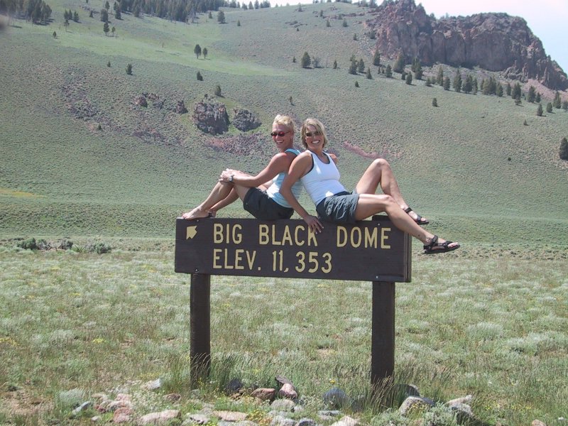
Holly and Carrie on the Big Black Dome sign.
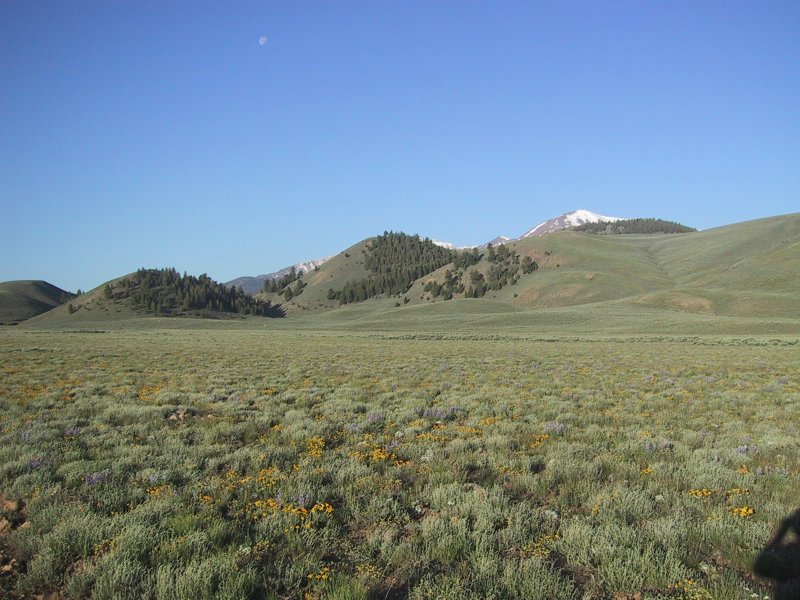
Copper Basin flowers. (Holly W. photo)
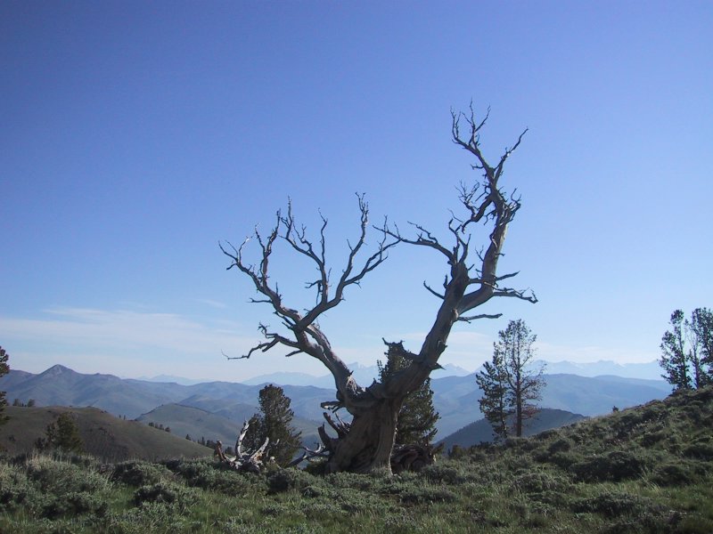
Old tree with Borah behind. (Holly W. photo)
     
clouds below mount adams
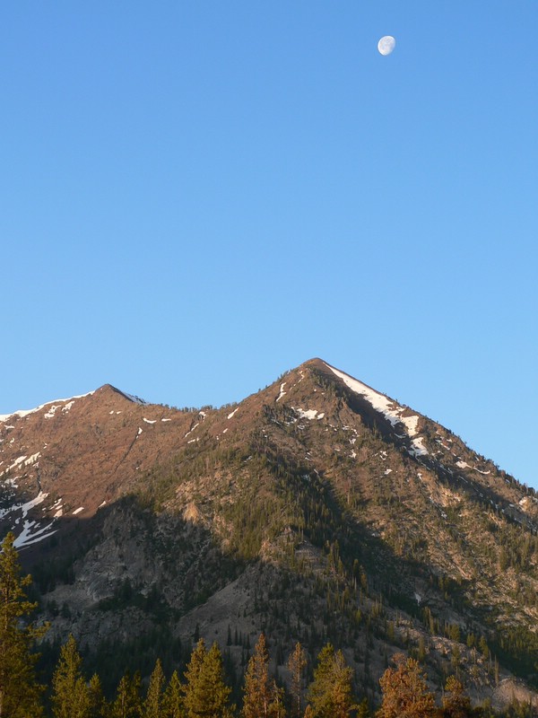
Moon over the Pioneers.
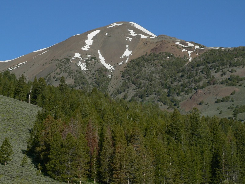
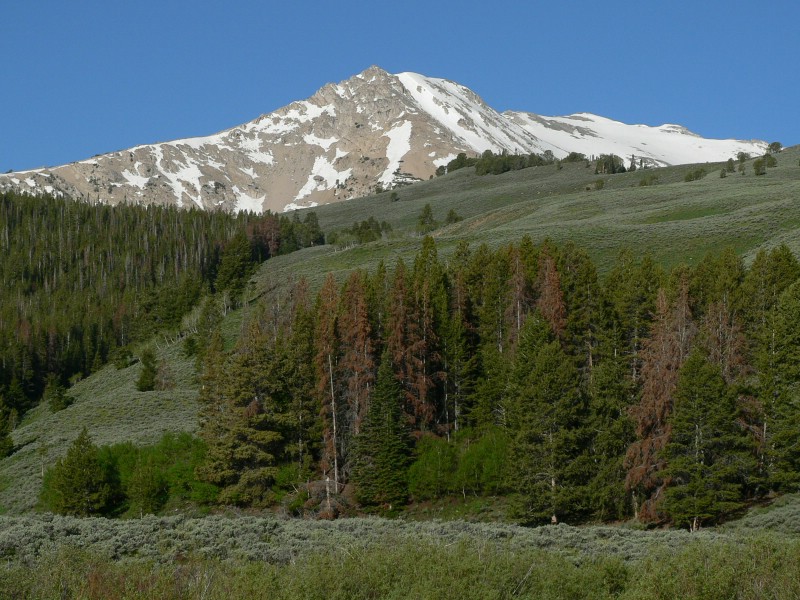
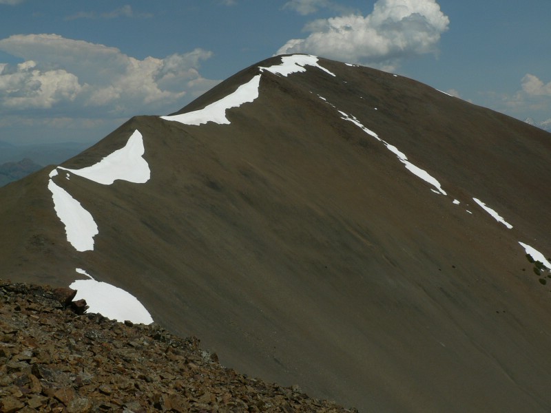
Point 11281 from the trailhead.
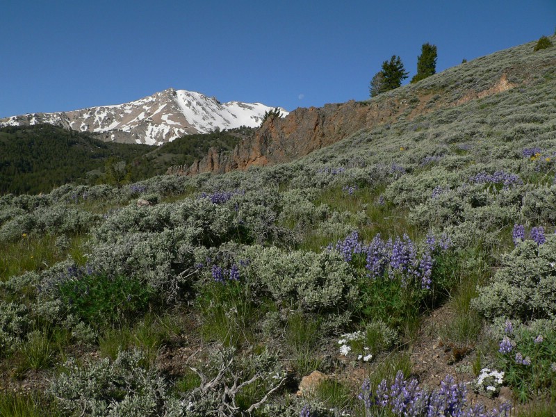
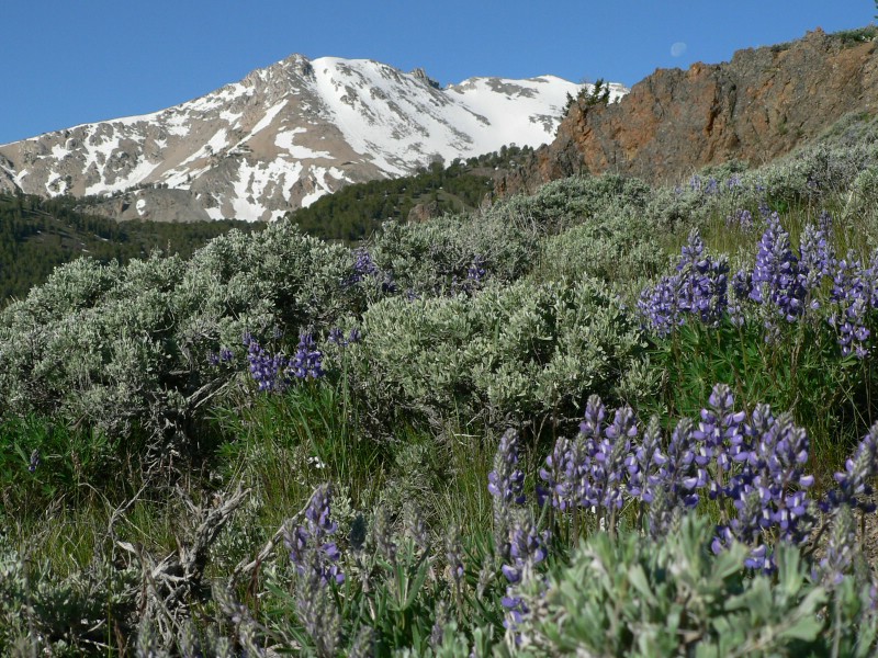
Flowers, moon, and Point 11281.
     
clouds below mount adams
Couldn't decide on big or small version... went with both.
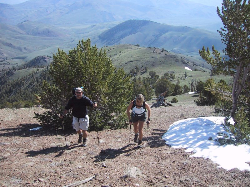
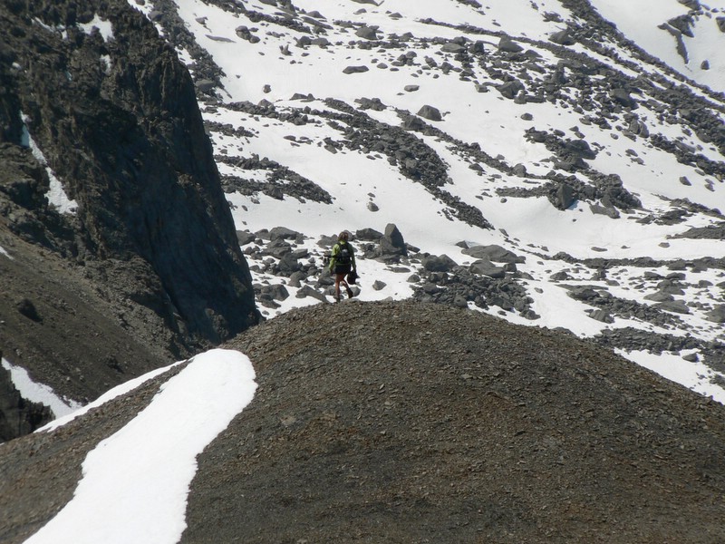
Carrie and myself hiking on the east ridge. (Holly W. photo)
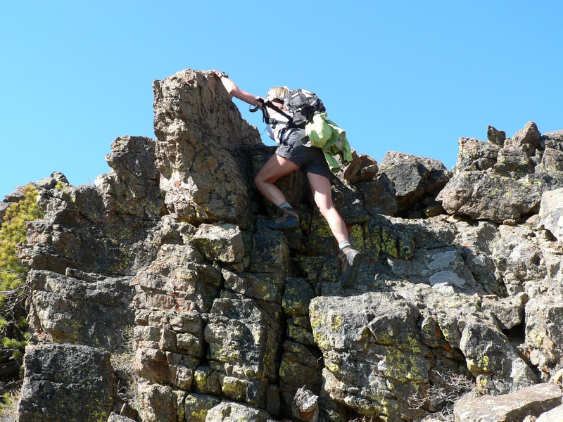
Scrambling on the east ridge.
     
Mount Rainier
Mount Rainier
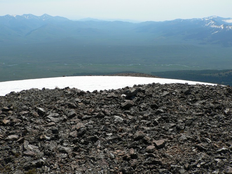
Copper Basin from the top (views south were a bit smoky).
Looking west from the summit.
The south ridge we descended.
Mount Rainier
Mount Rainier
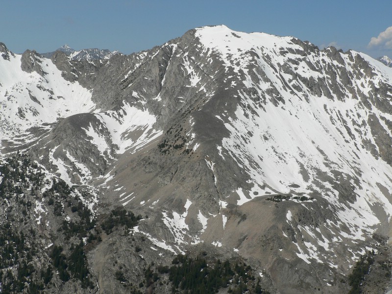
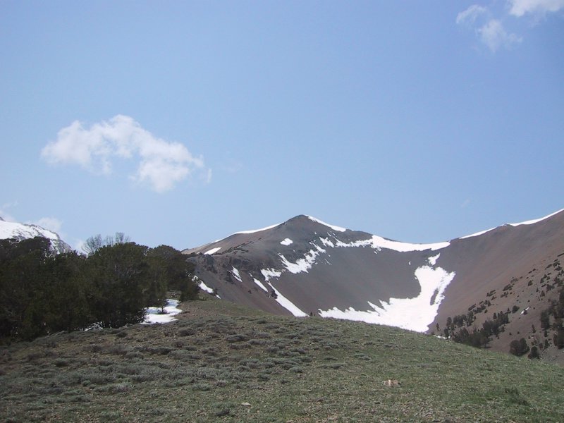
Big Black Dome from Point 10987.
Carrie on a hiking on the south ridge.
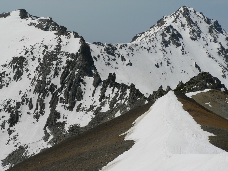
Pyramid Peak and a narly ridge to get there.
     
clouds below mount adams
Point 10987 and our descent ridge. (Holly W. photo)
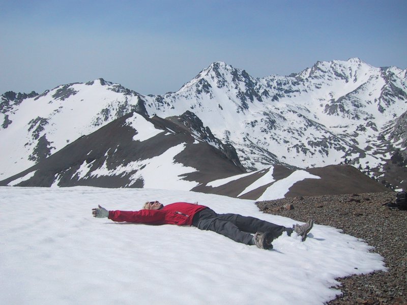
Holly making a snow angel. (Carrie D. photo)


Please send comments, suggestions, and questions to dan@idahosummits.com.
© 2005 All Rights Reserved RockyMountainSummits.com