 |
| RockyMountainSummits.com Home | | | My Peak List | | | Message Board | | | Contact Me | | | View the Guestbook | | | Sign the Guestbook |
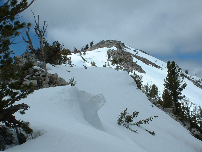
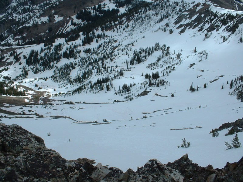
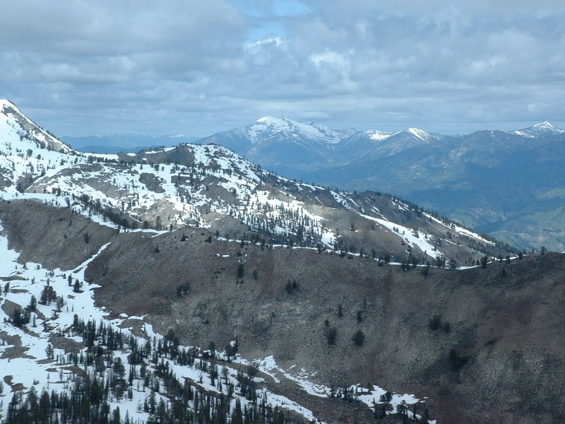
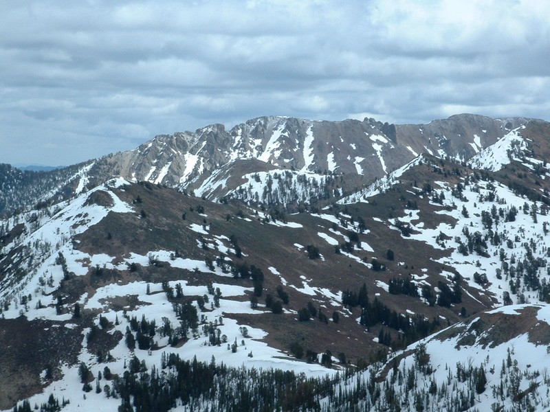
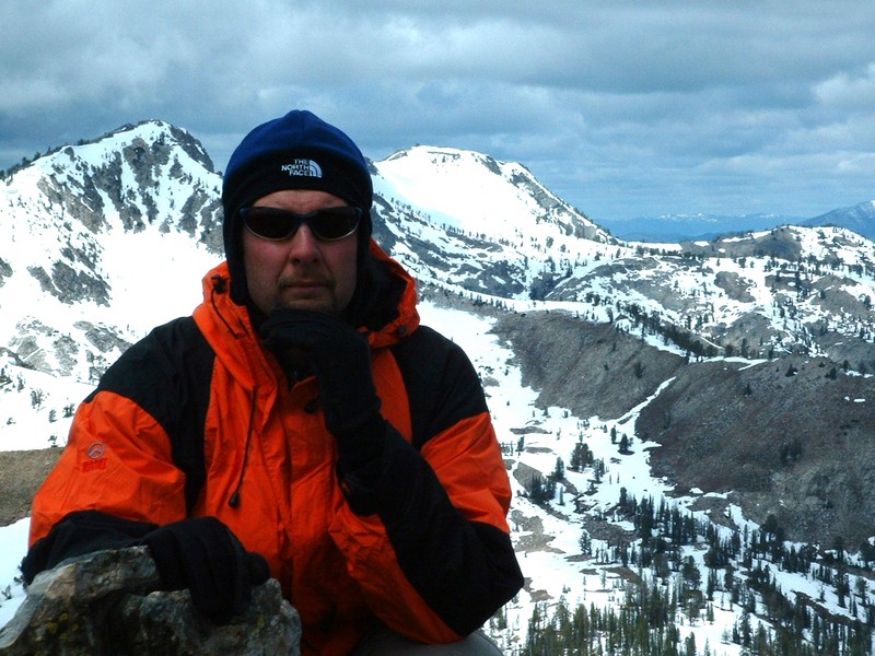
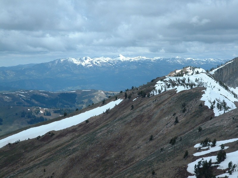
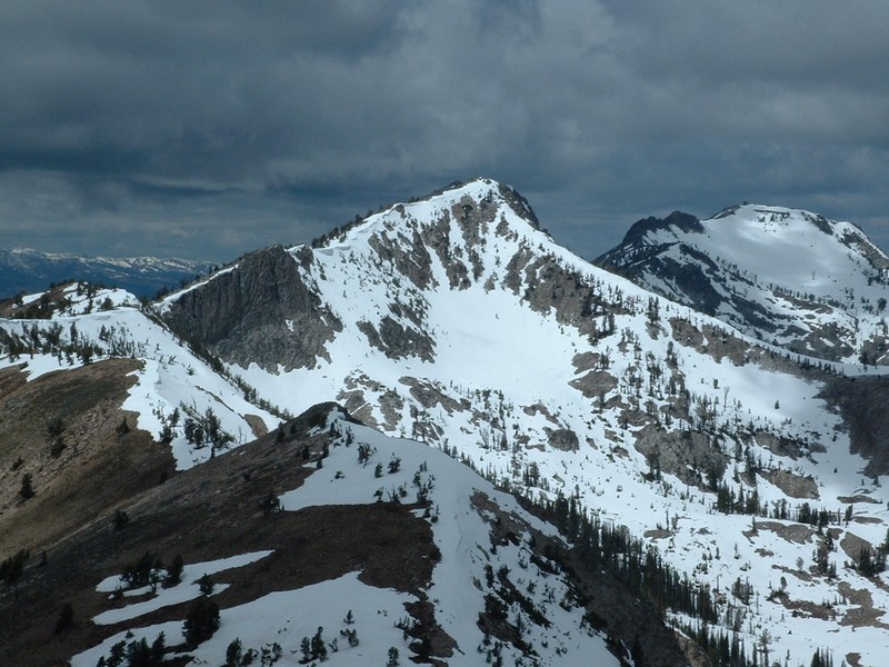
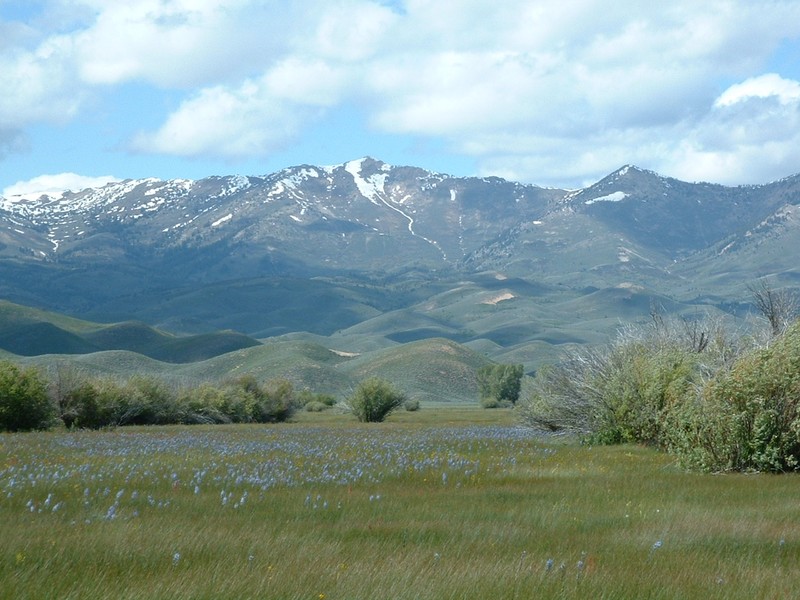
Boardman Peak
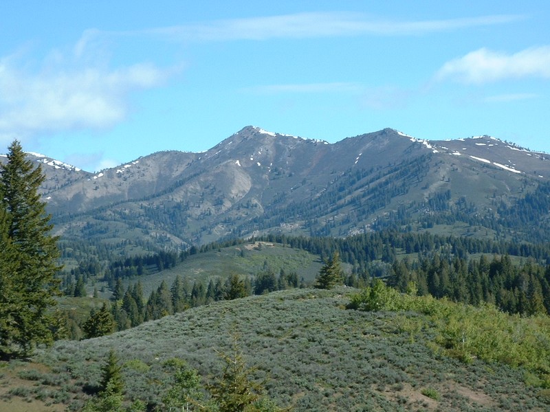
Boardman Peak from the Chimney Creek Road.
|
| RockyMountainSummits.com Home | | | My Peak List | | | Message Board | | | Contact Me | | | View the Guestbook | | | Sign the Guestbook |
 |
 |
 |
 |
 |
 |
 |
 |
 |
 |
 |
 |
 |
||