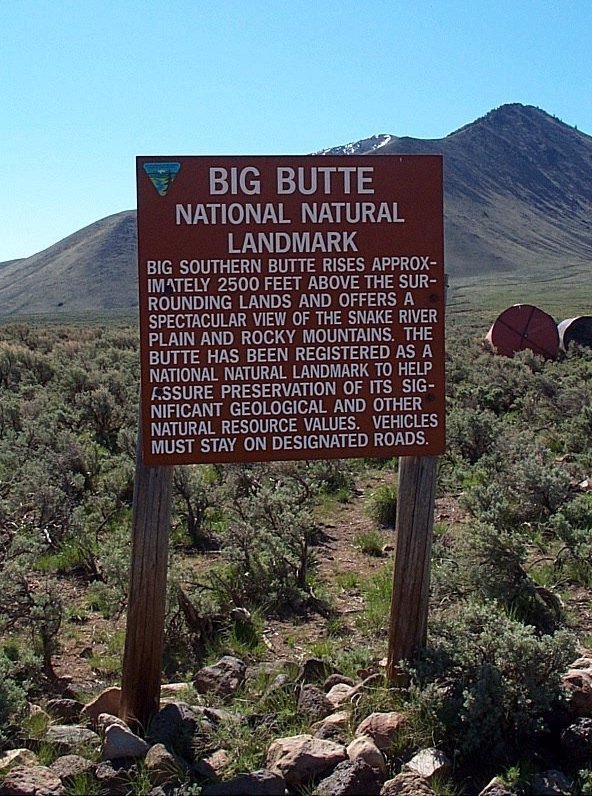
Sign about Big Southern Butte with the butte in view behind.
Trip Report (5/11/2002): Big Southern Butte:
Make your way to the Big Southern Butte landing strip, which is north of the peak. We approached from the north, which is INEEL land. It was unclear whether we were supposed to be on the roads, since some signs implied restricted access. After passing by the "Experimental Breeder Reactor #1" and a nuclear waste processing facility (complete with a huge concrete building and radiation signs), we made it to the open range. It is interesting seeing the buildings, warning signs, etc..., but it may be easier to come in a little further west from Arco. Once at the landing strip, follow the road heading south on an alluvial fan coming off of the butte. We were forced to walk the road to the summit from about 5,800 feet, where a gate blocks access during the winter and spring.
The view from the top is awesome. It takes in the Pioneer range, the Lost Rivers, White Knobs, and Lemhis. To the south, you view the Snake River Plan. Peer down the south face, which drops 2,300 feet in a mile. On top is a old fire lookout, a public bathroom, and several out buildings.
Trip stats:
Time: 3.5 hours
Length: 7 miles
Elevation Gain: 2,200 feet
Class (difficulty): 1
Bear Den Butte:
Follow these complicated, yet detailed directions to the highpoint of Minidoka County. If not a county highpoint, you would never have caught me on this mole hill. We did run into 4 rattlesnakes on this trip (as seen in the pictures below), so it did have some adventure.
Trip stats:
Time: Less than an hour
Length: 1 miles
Elevation Gain: 210 feet
Class (difficulty): 2
Pictures: Click on the pictures below to see the full-size version.