Stats
Distance: 7.5 miles
Elevation gain: 4000'
Class (difficulty): 3
Time: 9.5 hours
Report:
One of my goals each winter is to get above 10,000 feet. Last winter, a trip to the White Knobs accomplished that feat. This year, I haven't been getting out a lot. Despite that fact, I took a look at several options for peaks above 10,000 feet. I mentioned some of the options to John Platt. Based on the fact that John's friend Art had a room in Ketchum, we settled on Cerro Ciento in the Boulder range. The peak appeared close to the road, avalanche conditions were minimal, and we knew Sean had done it last winter.
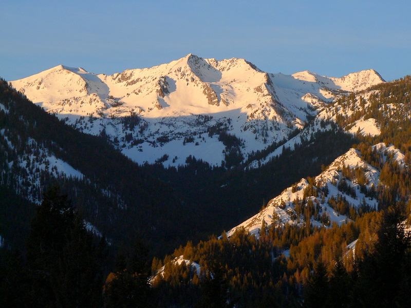
We hit the trailhead (the Owl Creek Road turnoff) at around 7:30am with incredible lighting on Saviers Peak. We started up a well packed trail for a 1/4 to 1/2 mile. Eventually the trail branched out in several directions. One trail headed up to the ridge that led toward the base of Cerro Ciento, so we followed it. Once on the southwest ridge, we got about 100 yards more out of the trail before we were on our own.
John led most of this section in the trees that left us in deep, sugary powder. The going was tough and slow. In addition to that, we could see snow plumes coming off the summit ridge of Cerro Ciento and neighboring Galena Peak. Only 2 hours into the hike, both of us were quietly thinking "no way are we going to summit". The terrain was flat until we reached the base of the ridge. Still in the trees, the angled steepened tremendously. With that, the snow in sections was unbearable. Even following John, I was constantly flailing in knee deep powder. This horrible snow continued until the treeline at 9400 feet. At this point the snow was much better, but my legs were already starting to cramp. At a shelf around 9700 feet, we ditched the snowshoes, put on crampons, and checked out the route ahead. It appeared to be fairly reasonable, with rock showing on the left side of the ridge and solid snow on the right. We cramponed up right next to the rocks. Going was still slow, but the winds stayed reasonable and the terrain was enjoyable. We reached the false summit soon and were facing a decision... we could climb a short, steep, narrow gully to get up it, or traverse snow slopes on the south side. The traverse was the better option, and placed us on easy slopes to reach Point 11046.
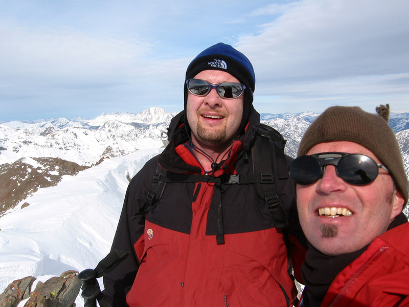
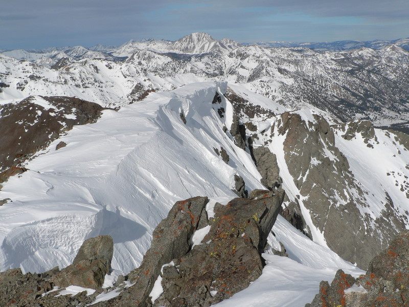
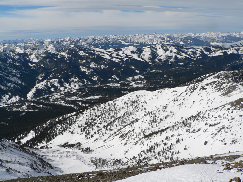
From Point 11046, the ridge gets narrow, but the same conditions were present, rock on one side and snow on the other. I could see John already on the summit, so I pushed to get there. Low on water, tired, and wanting to get down; we stayed only long enough to share some tea and photograph the area a bit. From the summit, views of the other Boulders, Smoky range, Sawtooths, and East Fork Salmon River drainage are impressive.
The way down was fine until we hit the soft powder again. I think it might have been just as agonizing down as it was up. I struggled, John let me catch up to keep us somewhat together. Finally we reached the car, 9.5 hours after this ordeal had started. John was the best, sharing tea, being patient, and keeping my spirits up. It was a great day to be in the mountains, now I just need to get out there more so my legs can better handle those types of days!
Getting there:
From Ketchum, drive north on ID-75 for 20.5 miles and look for the Owl Creek turnoff on the west side of the road. In the winter this lot is plowed.
Hiking instructions:
Cross the road from the Owl Creek turnout. Attain the southwest ridge of Cerro Ciento, which lies between King Creek and Spring Creek, and follow it to the summit. Like most Boulder Peaks, the ridge is undefined down low and becomes defined above the tree line.
|
|
Photos
|
|
| Saviers Peak in the Smoky mountains. |
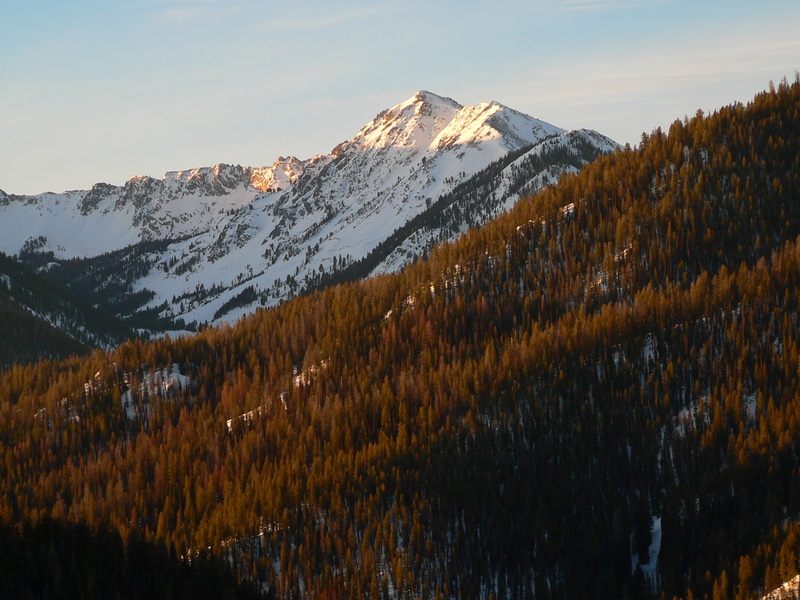
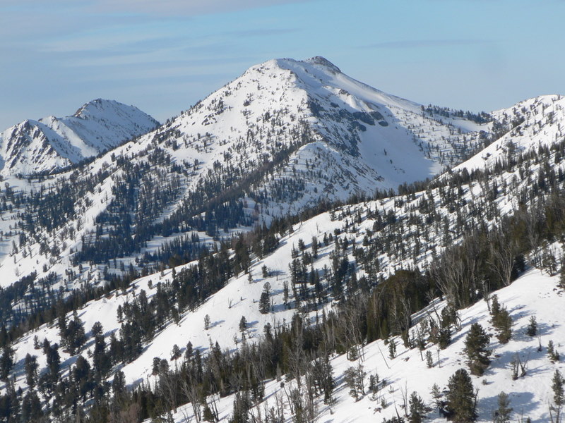
Norton Peak in the Smoky mountains. |
| |
|
|
|
| The ridge once we got to a flat area above the timber (John Platt photo). |
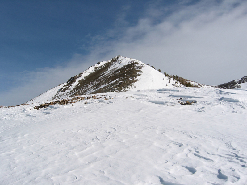
Easley Peak from the shelf. |
| |
|
|
|
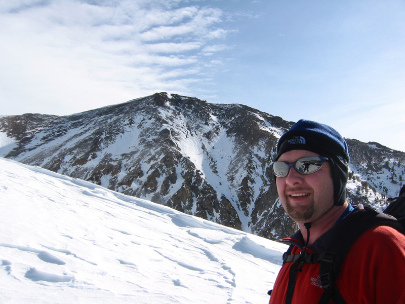
| Me with Easley behind (John Platt photo). |
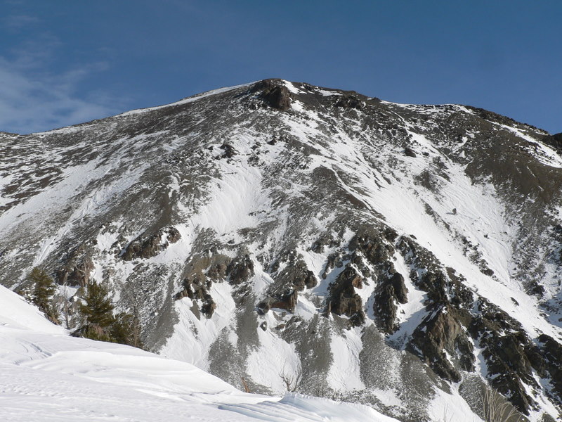
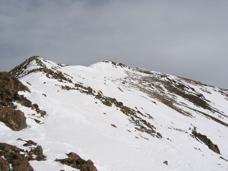
Multiple false summits on the ridge ahead (John Platt photo). |
| |
|
|
|
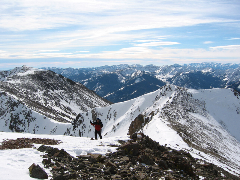
| Me approaching the summit (John Platt photo). |
Me and John on the summit (John Platt photo). |
| |
|
|
|
| Castle Peak from the summit. |
The Smoky and Sawtooth Mountains from the summit. |
| |
|
|
|
| Gladiator Peak on the way down. |
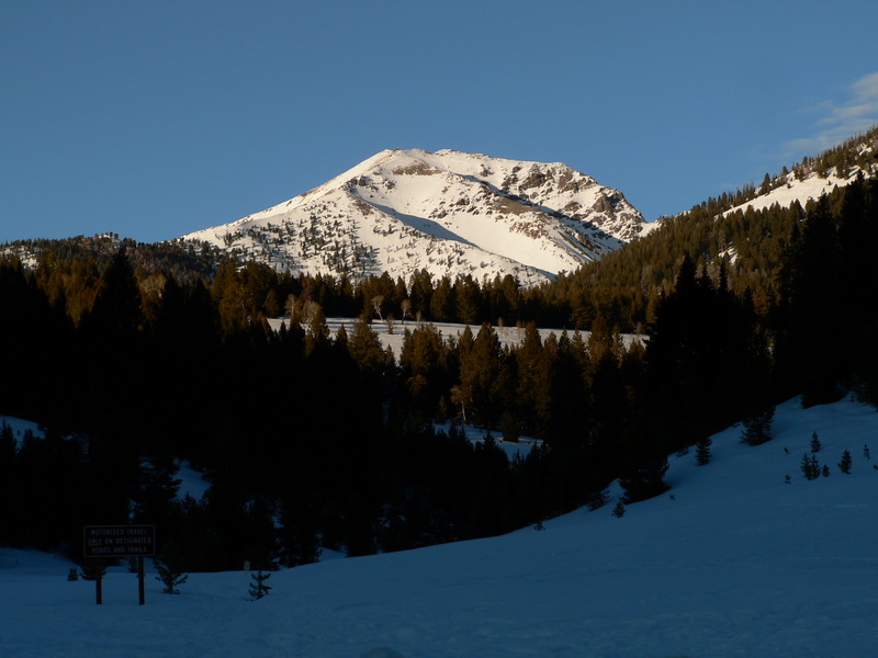
Galena Peak from the trailhead. |
|