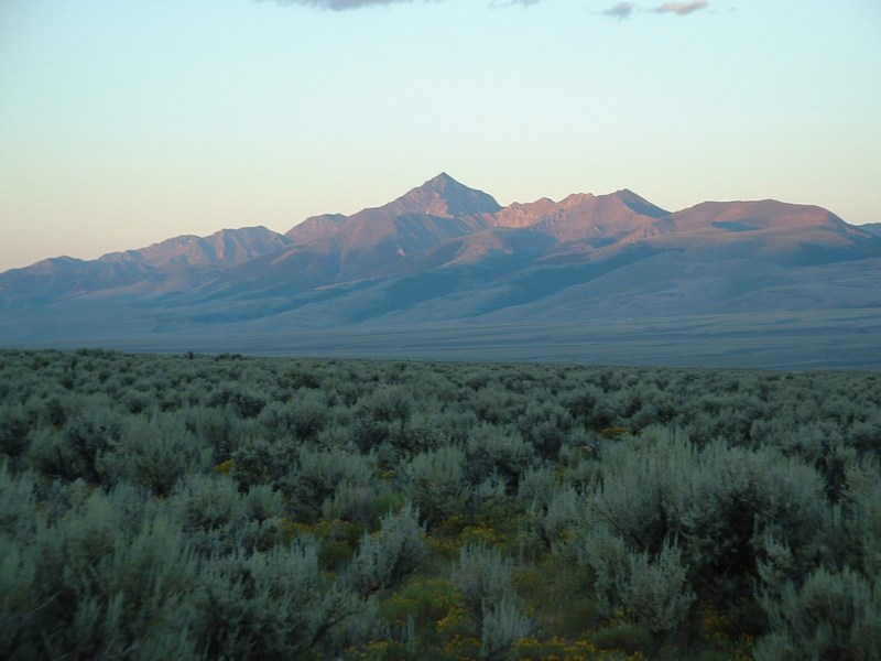
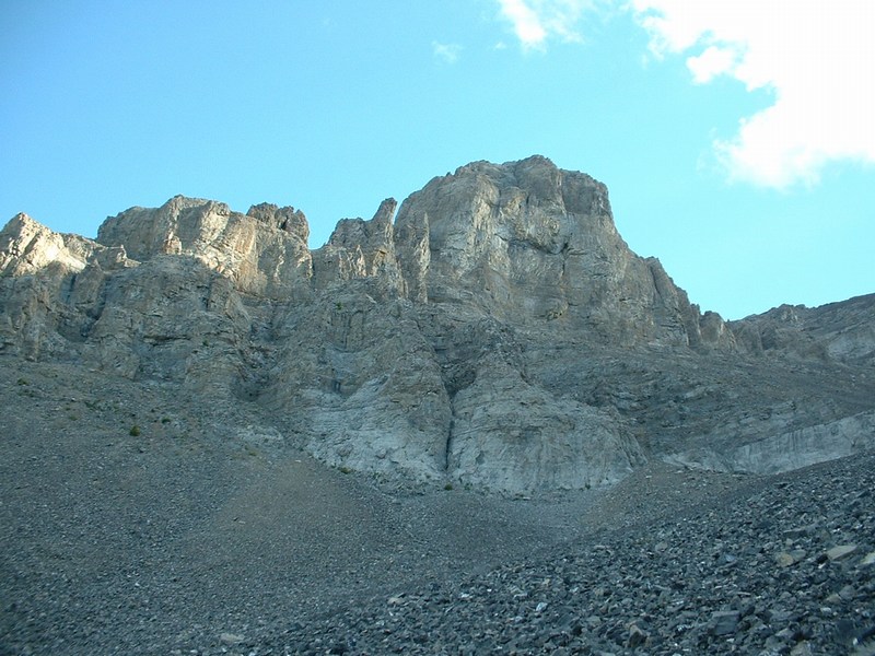
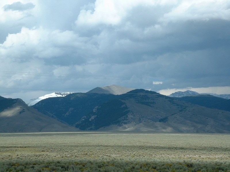
RockyMountainSummits.com Home  |  My Peak List  |  Message Board  |  Contact Me  |  View the Guestbook  |  Sign the Guestbook


4 Beaverhead 11,000 Foot Peaks/Bingham County Highpoint


Beaverhead 11ers    Bingham County

Beaverheads

On late notice, I teamed up with Brian and Toni Orth on this one. Brian informed me he was doing Diamond Peak (nearby the Clark cohp), so with my very kind and considerate wife's permission, I contacted Brian and told him I could meet them at the Birch Creek campground the night before the hike. I arrived at the trailhead much earlier than expected, so I was able to chat with Brian beforehand and arrange a wake-up time.

We awoke early and headed to the trailhead, beginning our hike at around 7 AM. The hike starts out on a overgrown trail that is easy to follow as it heads east (up Scott Canyon) toward Peak 11292 (Huhs Horn). When the trail crests on the ridge at the 8975 spot elevation on the map, it is time to make a decision on how to proceed. We chose to head up the gully just south of Scott Peak. This started well and we made good progress until about 9800 feet. Here the gully met a headwall, so we turned left and angled for the ridge just above Point 10249. The climb out of the gully to the ridge was easy class 3, but the talus was loose and very annoying. From here on, it was clear sailing to the saddle between Scott Peak and Webber Peak. We turned north and ascended Scott Peak. This is the highpoint of the Beaverhead range and is a big chunk of black talus. On top is a pile of rocks and a register in white PVC pipe that had been damaged by water. I erroneously wrote that it was my 39th county highpoint in the register (the Clark cohp is not Scott Peak).

Seeing the weather holding, we decided to climb up Huhs Horn on seemingly class 2-3 slope. This would require a 1.5 mile ridge walk and 600-700 foot gain (roundtrip). This turned out to be a good move and provided good views of some lakes north of Scott Peak. The traverse is class 2.

After ascending Huhs Horn, we traversed across Scott Peak, angling for the saddle between Scott and Webber. From the saddle, we re-grouped and headed to Webber, then further south to visit the 2 11,200 contours that make up the Clark cohp. We then descended down the west ridge of Webber Peak. At around 10600 feet you reach a tower that you can avoid on the left (south) side. Again a few hundred feet lower, avoid another rough area on the left. We then agonizingly descended a steep gully of crap scree (to thin in coverage to ski, to loose to walk on). Around 9300 feet we angled across the base of Scott to our ascent gully and eventually the trail at 8975 feet. This ended up being a tough day!

We reached the car just before a thunderstorm hit. We watched as the peaks we had just been on top of were covered in snow (hail?). When we reached Highway 28, and could once again see the mountains, they covered in a white blanket of several inches of hail or snow. What a sight in late July, especially when our hometown of Boise a couple hundred miles away had a high temp of 101 that day.

Trip stats:
Mileage: 13.5
Elevation Gain: 5150 feet
Time: 9:30
People: 0
Class (difficulty): 3

Directions:
From Idaho route 28, take Nicholia Road heading northeast towards Nicholia Ranch. Follow the road 3 miles to the base of the foothills and turn right (southeast). Follow the main track southeast about 5 miles to the Scott Canyon Road. You will pass one major fork in the road, which turns left into Italian Canyon, keep right here. Once you turn onto Scott Canyon road (FS 190), you will see a sign indicating you are entering the Targhee National Forest. Follow FS 190 to its end at 7700 feet in Scott Canyon. The road is gated shut at this point and closed to motorized vehicles. There is plenty of parking here.

Photos (click on them to enlarge):

Diamond Peak.
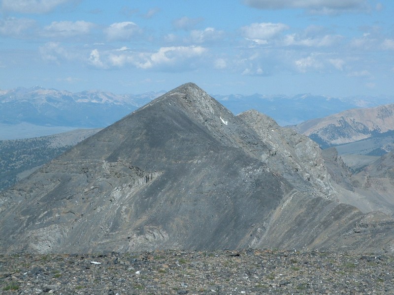
Huhs Horn (Peak 11292).
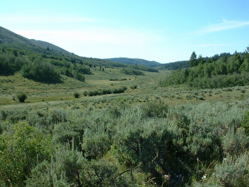
Neat basin just west of the Beaverhead crest.
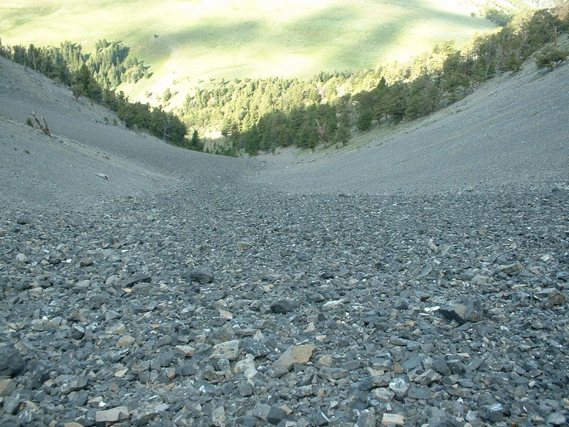
Looking down the gully.
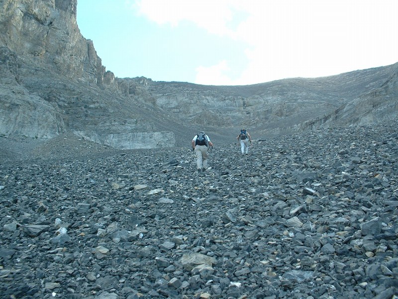
Looking up at Toni and Brian in the gully.
Tower above the gully.
Scott Peak from where we crested the ridge.
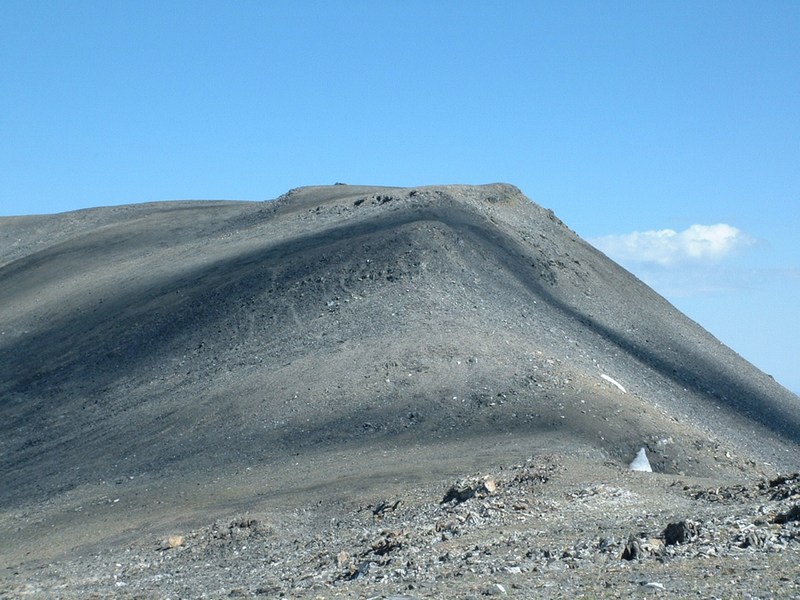
Flat, wide ridge from Scott Peak (Webber Peak and the Clark Cohp in the background).
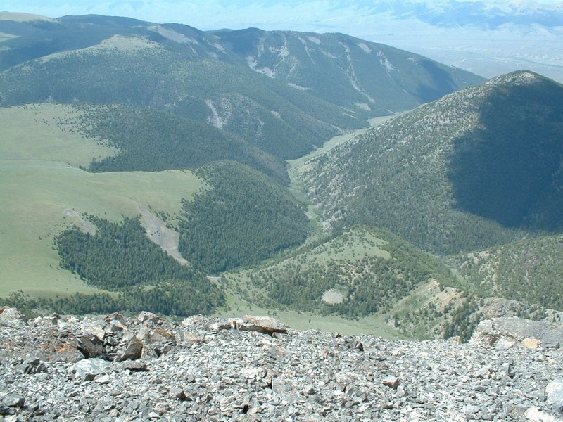
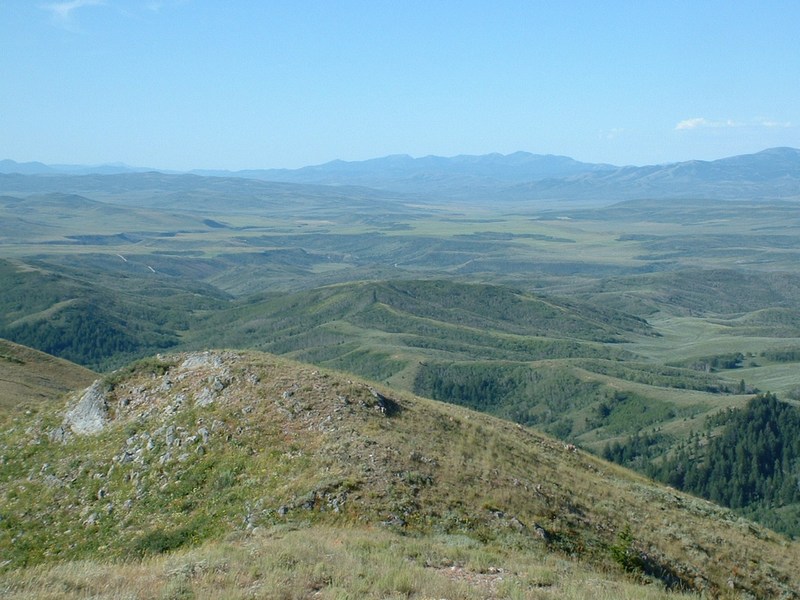
Scott Canyon, the approach trail follows this canyon.
Scott Peak from where we crested the ridge.
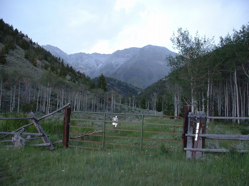
The trailhead, notice white stuff accumulating on Huhs Horn.
Beaverheads covered in white minutes after we depart.


Bingham County

After ascending Scott Peak and Clark Cohp the day before, Brian, Toni, and I headed to the Firth area to hike up the Bingham cohp (Blackfoot Mountain). After a long drive and near Toni's bedtime, we finally found a suitable campground near the Blackfoot River, only a few miles away from the trailhead. I acutally got a good night's sleep and awoke to the sound of Brian's jeep door shutting at 5:30 AM, well after the agreed 5 AM wake up time. Oops!

We reached the trailhead shortly after 6 AM and headed out on private land (with permission from the landowner). We utilized Miner Creek for the approach. At a point where a side creek branched off of Miner Creek, we continued on the road, instead of staying in Miner Creek. This ended up taking us off my planned route, but worked at fine, as we continued on the road as it became a trail. It then ran along a fence that led to a ridge, which paralled the west side of High Basin. We followed a two track road along this ridge and dropped down to the basin. In hindsight, we would have been best to stick to the ridge and follow it to the upper northern reaches of High Basin and hike up Blackfoot Mountain from there. Instead, we ascended the jungle-like slopes from straight west of the peak. This worked, but the initial 300-400 feet was miserable.

I was actually very impressed with this highpoint. It overlooked a vast area of green foothills and was fairly prominent above the surrounding terrain. We descended just north of the peak on a ridge with little vegetation. Here we saw a moose. We made it to a trail at the northern head of the basin, with little bushwhacking required. We then regained the ridge just west and above the basin and followed it south until we met up with our original route, which we followed back to the vehicles.

Trip stats:
Mileage: 9
Elevation Gain: 2500 feet
Time: 5:00
People: 4 (horseback riders)
Class (difficulty): 2

Directions:
Make your way to US 26/91 between Blackfoot and Firth, Idaho. Turn east onto 600 N (Wolverine Road). Follow this paved road for 10.1 miles and turn right onto Blackfoot River Road. Stay on this dusty and rough gravel road until 21.6 miles, when you see a corral and fenced road on the left hand side of the road. Park here. These gates are painted orange and there are numerous no tresspassing signs in the area. We had permission from Jason Stefler to be on the property. The campground we stayed at was about 3 miles beyond this and required us to briefly turn onto Trail Creek Road (signed).

Photos (click on them to enlarge):
Basin below Blackfoot Peak (Bingham County highpoint).
Looking southwest.
Me on top, indicating my 40th Idaho county highpoint.
Brian and Toni.


Please send comments, suggestions, and questions to dan@idahosummits.com.
© 2001 All Rights Reserved RockyMountainSummits.com