RockyMountainSummits.com Home  |  My Peak List  |  Message Board  |  Contact Me  |  View the Guestbook  |  Sign the Guestbook


San Juan Sojourn


Handies Peak - 14048'


With a plan in the works for months, James (Just) and I finally met up after a long hike up San Luis Peak for him and a long drive from Boise for me. With cool weather and rain showers in the area, James and I confirmed plans to ascend Handies Peak the next day and set off to bed for an early start.

We awoke to cloudy skies, but good visibility and no rain. We headed up the trail up Handies' east slopes from the Grizzly Gulch trailhead at 10400'. The trail started in the trees and soon broke out into an open basin lined with 13ers on our right and left (north and south) and Handies in front of us. A nice trail leads all the way to the summit of Handies. From the top, we could tell storms were moving in. Views were limited, but Wetterhorn and Uncompahgre - 14ers we would climb later - were impressive to our north.

We were both interested in adding a second peak to the day, so we decided to follow Handies' north ridge to the saddle between Handies and Whitecross Mountain. We then climbed about 550' to the summit of Whitecross Mountain. This was a fun, but relatively easy ridge walk. We descended straight off the south side of Whitecross to the Grizzly Gulch trail and headed out with light rain falling.

After the hike, rain forced us to nap in the afternoon, then hit the sack early.

Time: 6 hours
Distance: 7.6 miles
Elevation gain: 4200'
Class (difficulty): 2

Photos

Sloan Lake, southwest of Handies.
Wetterhorn (left) and Uncompahgre (right).
   
Handies Peak from Whitecross.
Me on the summit of Whitecross.
   
Whitecross from the trail.


Redcloud 14034' -- Sunshine 14001' -- Sundog 13342'


James and I awoke early expecting bad weather later in the day. Well, it was already here... low clouds remained in the area overnight and it was sprinkling off and on. Off we went anyway. The first hour went okay for me, but during hour two the rain and gloominess started wearing on me and I was in a somber mood. We broke about 1000' feet below Redcloud's summit and got views from time to time when the clouds would thin. The last 1000' feet up Redcloud was dry and we topped out without issue. The red rock atop of Recloud is really neat and not something you'd expect to see at 14000'. From the top we could see most of the traverse to Sunshine in front of us and got after it after a short break.

The traverse over to Sunshine was uneventful. We eyed a route down the slopes that would lead us back to the trailhead quicker than returning over Redcloud, but it looked a bit crazy (a sign warned it was dangerous and not to do it). Instead, we chose to gain 312' and climb a 13er named Sundog on the way back. This really looked like the quickest way back anyway... plus the ridge up to Sundog looked challenging.

The climbing on Sundog was not as bad as it looked and never exceeded easy class 3 (if that). That said, the multiple false summits were frustrating, especially when it started to rain. The rain was the hardest on Sundog's summit and we hardly stopped. We did eventually stop when we reached the treeline. It had stopped raining and allowed us to rest a bit and take off our rain gear. When then dropped back to Silver Creek. Again, it started raining hard and kept raining until the trailhead. We were soaked, but we were excited about climbing 3 peaks in this weather. James remarked that he'd like to - just for once - sit on a summit in the sun for an hour and hang out.

We headed into Lake City for some pizza at Poker Alice's. Here we decided a hotel room was in order to dry out in. We rented a cabin, and as you can see from the photos, we had equipment hung in every spot in that room. By bedtime at 11PM, most of our stuff was dry again thanks to 2 large fans.

Time: 8.5 hours
Distance: 10.5 miles
Elevation gain: 4462'
Class (difficulty): 2

Photos

James in the fog below Redcloud Peak.
1000' below Redcloud Peak.
   
The marslike top of Redcloud Peak.
Sunshine Peak from about 300' below.
   
South Fork (Silver Creek) drainage.
Sundog Peak, our most interesting terrain of the day.
Our cabin after the wet hike.
Our cabin again.


Uncompahgre 14309'


I woke up at 5:30am and peaked out the window. Ominous looking clouds were still out there. We agreed to sleep another hour and check again. James woke up about 6am and remarked it looked much better. Off we headed to climb Uncomphgre Peak.

As we drove to the trailhead, the weather kept improving until it was actually sunny. We were elated and raced up the trail. En route to the peak, we ran into Rick from Virginia, whom James had met on San Luis 3 days back. Rick hung with us the rest of the day. We would summit Uncompahgre in 2 hours and 15 minutes and as James had wished, we got to bask in the sun on top of the peak for an hour!

The north face of Uncompahgre is awesome, with a rock face that drops straight down to the green slopes below. Views of the Wilson group of 14ers, and pretty much every other direction, were impressive. We met a lot of people on the summit and would see several of them the next day on Wetterhorn. The descent was uneventful and we were back to the truck in just over 5 hours.

Time: 5 hours
Distance: 8.1 miles (7.6 for the hike up to the peak, plus a bit more for exploring a side ridge)
Elevation gain: 3000'
Class (difficulty): 2

Photos

Uncompahgre from Nellie Creek.
Uncompahgre a bit closer now.
   
Looking north from Uncompahgre.
A group photo with several people we met on the trail.
   
Looking down at the trail.
James on a steep and exposed tower.
   
Towers on the only non-class 1 section on Uncompahgre.
Tomorrow's goal... Wetterhorn.


Wetterhorn 14017' -- Matterhorn 13590'


Again we awoke to clear skies, and this morning, cool temparatures. We drove 30 minutes to the 4wd trailhead in Matterhorn Creek with a climb of Wetterhorn and Matterhorn peaks in mind.

We started the hike off in dark conditions. On our first break we had incredible views of Wetterhorn Peak as the sun was just starting to light up the east face. To that point we had be heading mostly north and now turned more easterly, crossed a large green basin, then started working our way through a boulder field on a really neat trail that zigged in and out of the boulders. We reached the saddle at 13060' in about 2 hours.

From here we knew the route was a bit tricky. The first 400 feet were easy, but then we started boulder hopping and climbing around towers. Several of these moves were class 3 and quite fun. We pretty much just stayed as close to the ridge as possible while most others ascended a gully further to the north (left). This brought us to a notch between the Ship's Prow and Wetterhorn. We headed north over the notch and were faced with the final gully that I'd been a bit nervous about for a few days (one guide book mentioned people roped up for this pitch). James was ahead of me on the pitch and mentioned it was "like climbing stairs". I could see the route and he was right... it was a blast with solid rock and great holds. Soon we were on top of the peak. The transition between climbing and the summit was the quickest I have seen on a peak and kind of shocks you.

We really enjoyed the views on top, but knew we each had some driving to do that evening and still wanted to go for Matterhorn Peak. We descended to the interesting boulder field and then found a cross country route that got us to the base of Matterhorn without too much elevation lost. We estimate we dropped to 12650'. We then followed a green finger along a boulder field up to a higher boulder field just below the northwest face of Matterhorn. We then traversed out on the south ridge and eventually found a use trail to the summit. It seemed to take forever, but we eventually reached the summit block, which seemed like a giant rockpile. Easy class 3 climbing got us to the top, where we took in great views of Uncompahgre and Wetterhorn, signed into the register, and plotted our course back down to the trailhead. Off we headed to the trailhead and then out to Lake City, where we parted ways.

Time: 6 hours
Distance: 7.8 miles
Elevation gain: 4220'
Class (difficulty): 3

Photos

Wetterhorn picking up the early rays of the sun.
Views to the southwest.
   
The Wilson group of 14ers.
Looking north from the summit.
   
Downclimbing the crux.
An upclose of Wetterhorn.
   
Rick Lutz cruising up Wetterhorn.
Our next goal... Matterhorn Peak.
   
Wetterhorn from the 13000' saddle.
Uncompahgre from Matterhorn.
   
Matterhorn from up close.
Matterhorn from about 2 miles away.


Mount Nebo 11928'


My original plan was to stay in Colorado and scramble up Mount Sneffels solo or with my brother-in-law. However, he could not make it and I didn't want to climb a peak and then drive 11 hours home. So I had thought about hitting something about 1/2 way back. That something turned out to be Mount Nebo, which was exactly 1/2 way home and still a great peak bagging objective. I had printed off a bit of information about climbing the peak and used those instructions to get near the peak the night before. However, I could not find the trailhead in the dark. Nervous about being alone, not having a map, not finding the trailhead, and being exhausted after lots of hiking and little sleep I nearly bailed on the trip. However, when I awoke the next morning, the day was clear and I could not pass up the opportunity.

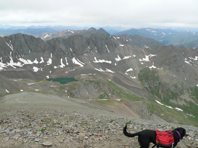
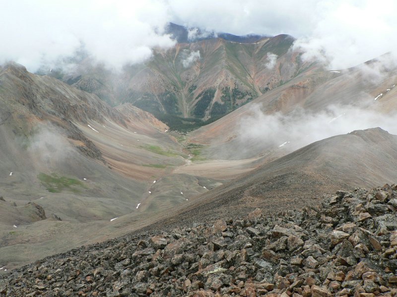
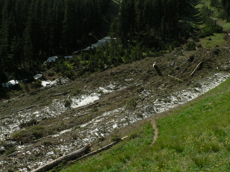
Within 10 minutes of driving in the daylight, I found the trailhead. I was going to use the north slopes route, which starts at around 9300' and follows a use trail all the way to the top. This trail started poorly, with lots of dust and cow crap. After less than a mile, I reached a forest and the hike became very pleasant with snow drifts, green meadows, and flowers in bloom all around me. At the base of a meadow, which sits below the north shoulder of North Peak, I was able to see the remnants of an avalanche up close. There were still 20 or 30 feet of snow in spots, with trees and rocks strewn about. I would later find tree branches 200 or 300 feet up the ridge that had been sent flying when the snow slid.

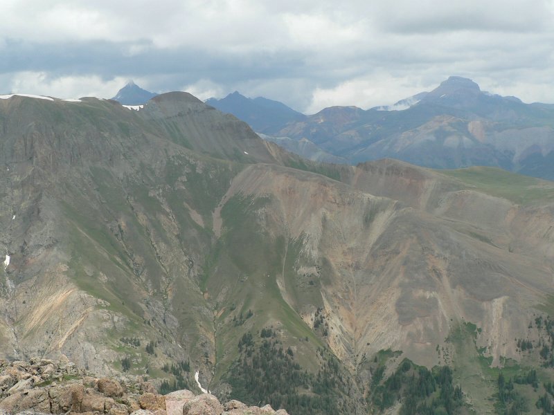
After the avalanche excitement, the trail climbed a steep slope on the west (right) side of the basin filled with debris and brought me onto the northwest slopes of North Peak. From here, the trail traversed the west side of North Peak and eventually brought me to Wolf Pass at 10600'. The flowers in Wolf Pass were amazing!

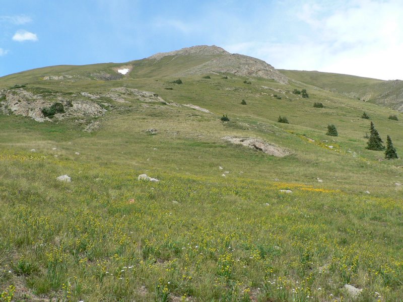
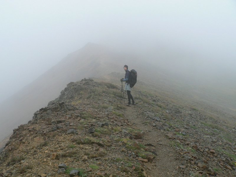
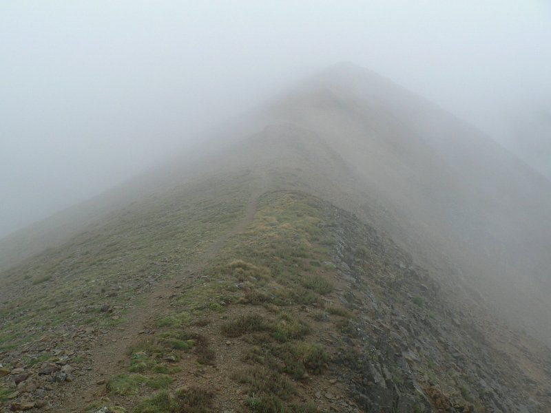
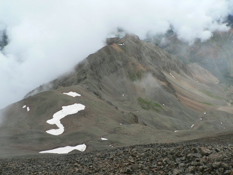
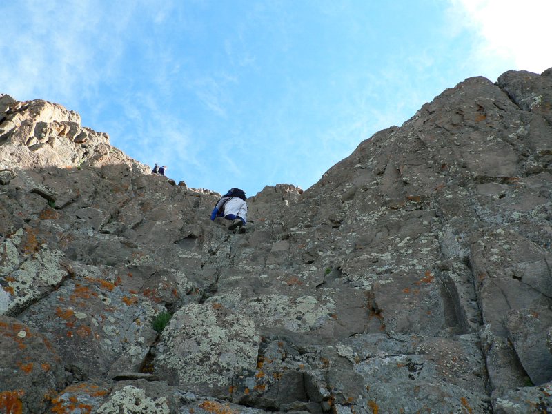
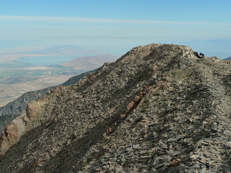
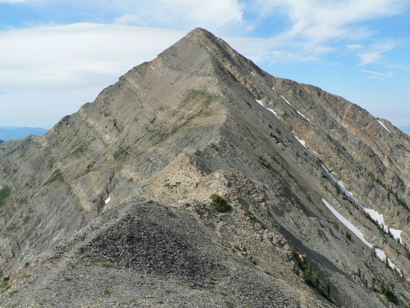
From the pass, I needed to climb up a steep slope to an 11450' subpeak of Nebo. The use trail was still in great shape to the subpeak and I could then see the remainder of the route that wiggled over and around towers on the narrow ridge to the top of Nebo. This section was quite slow, but very fun. The fun ends about 200' below the summit and you are only left with some steep, but mundane climbing to the summit.

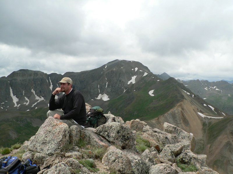
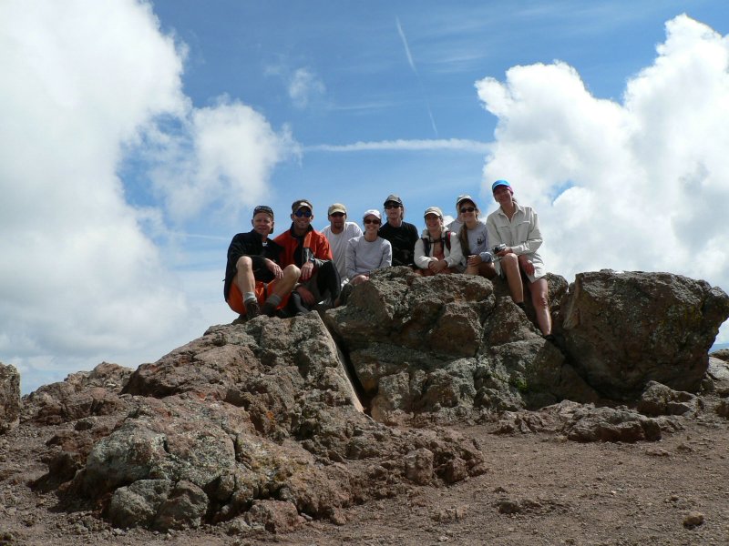
The summit of Nebo is long and flat, with a one-of-a-kind summit register that is actually attached to the mountain. I had the mountain to myself and would not see anyone else the entire day. I highly recommend you climbing this gigantic mountain using this very scenic trail. If views of the Utah Valley weren't so smoggy, this might be my top 2 or 3 outings... as is, it's still in my top 15 or so.

Time: 5 hours
Distance: 10 miles
Elevation gain: 3400'
Class (difficulty): 2

Photos

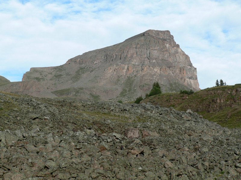
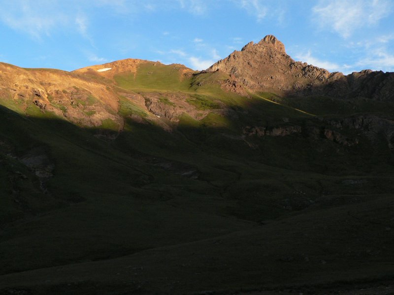
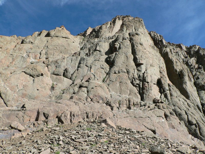
Mt. Nebo from the trailhead.
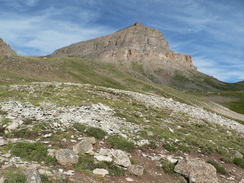
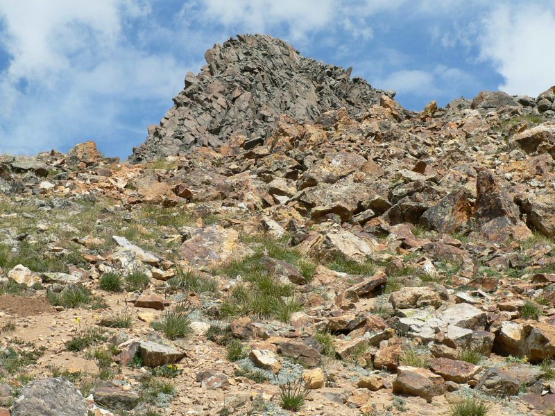
Mt. Nebo once I had crested the ridge on North Peak.
   
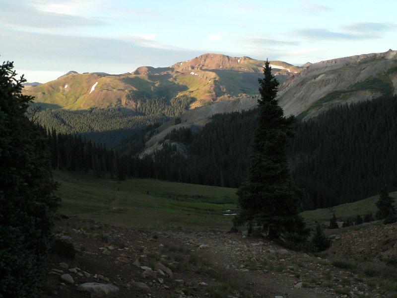
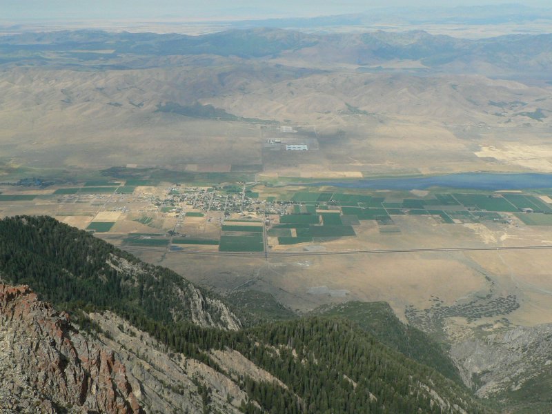
Looking down at Interstate 15.
Gorgeous Wolf Pass.
   
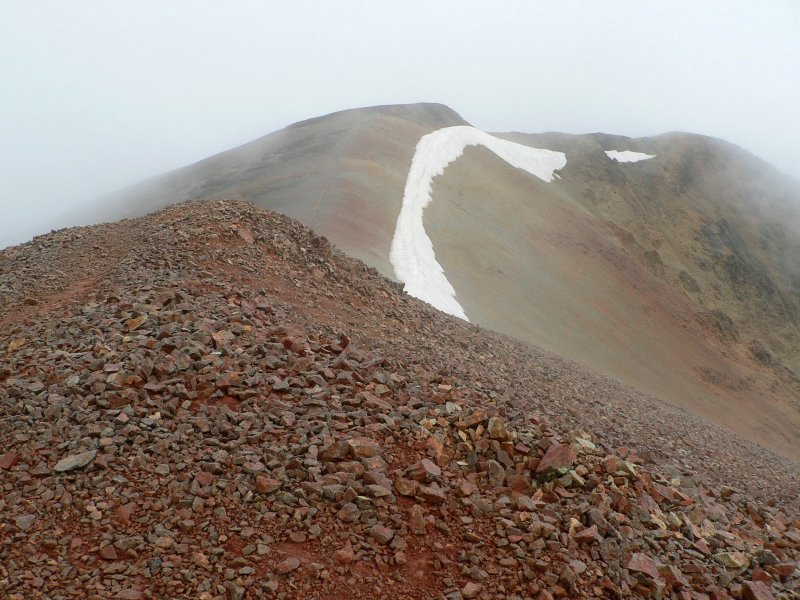
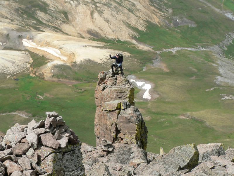
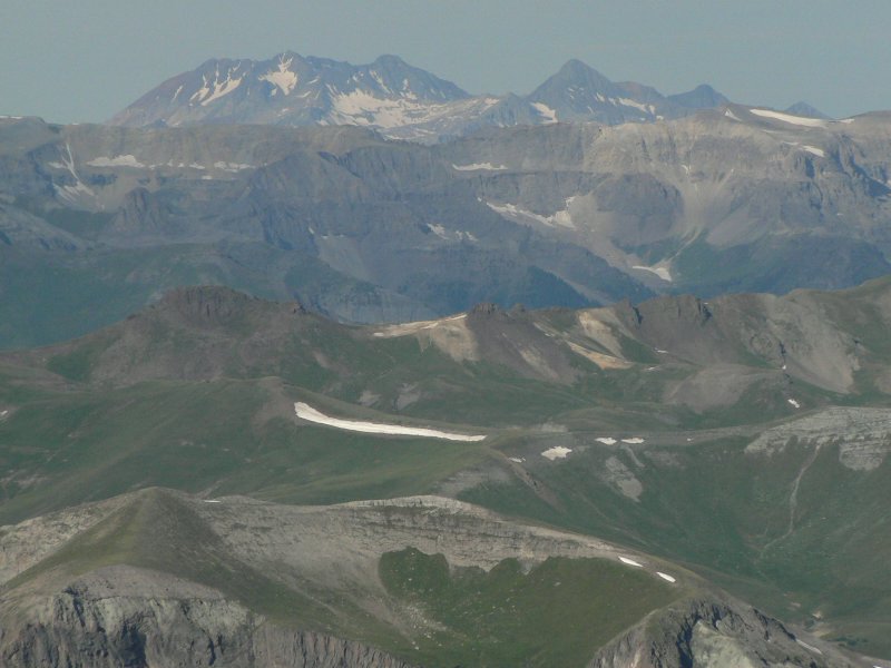
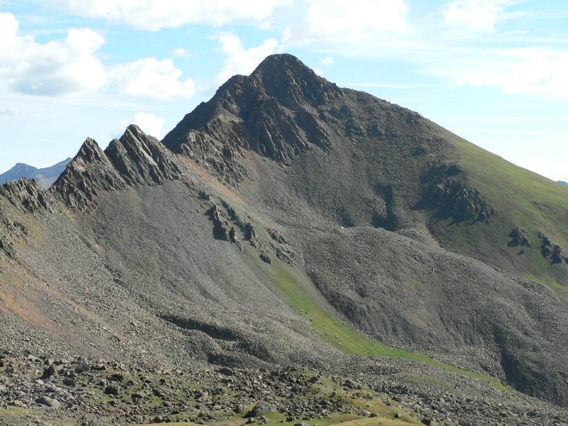
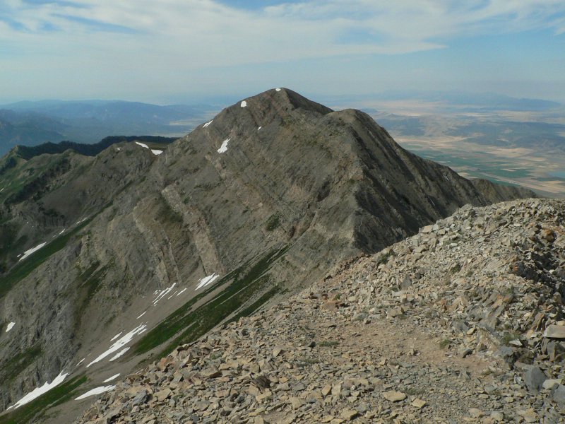
Looking at the south summit from the highpoint on Mt. Nebo.
Looking north from the top.
   
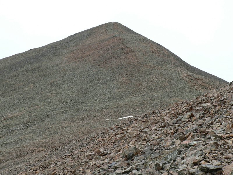
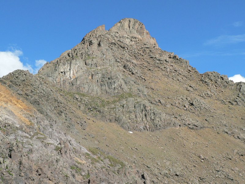
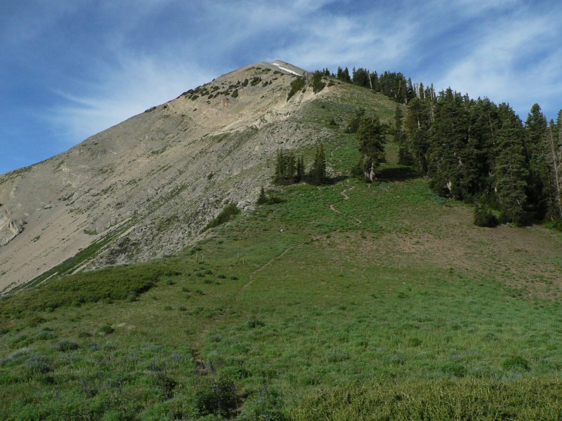
Nebo from the north summit.
Avalanche remnants at around 9000'.
   
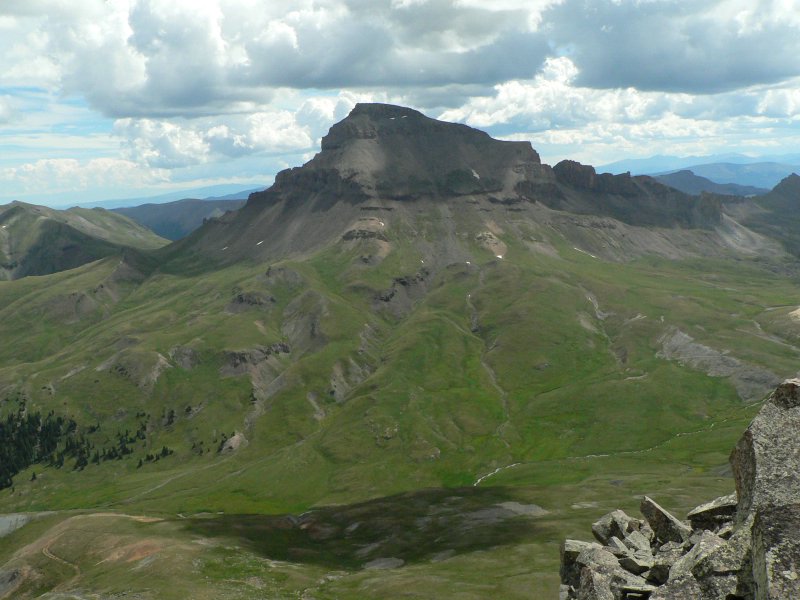
Nebo from the Nebo overlook after the hike.


Please send comments, suggestions, and questions to dan@idahosummits.com.
© 2005 All Rights Reserved RockyMountainSummits.com