RockyMountainSummits.com Home  |  My Peak List  |  Message Board  |  Contact Me  |  View the Guestbook  |  Sign the Guestbook


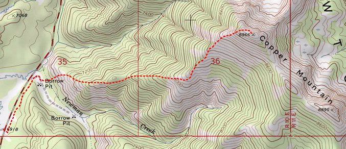
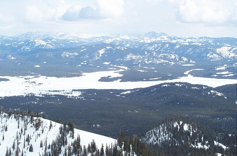
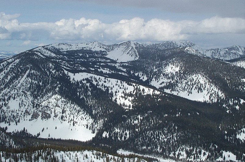
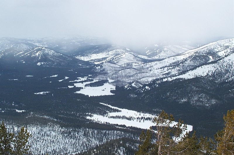
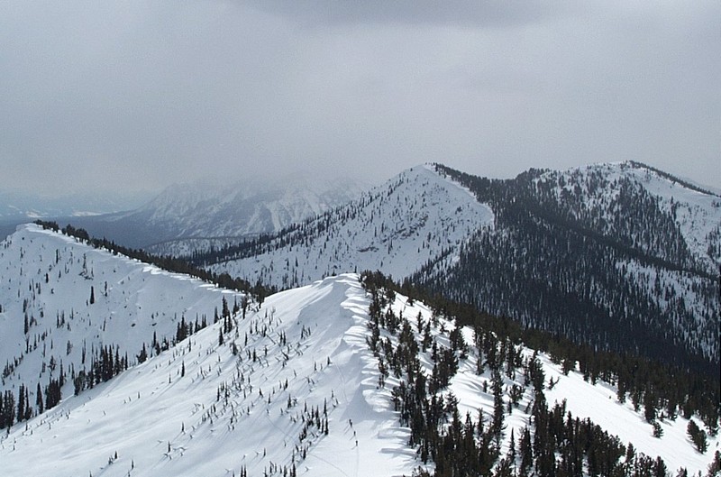
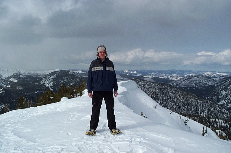
Copper Mountain (8,966 feet)


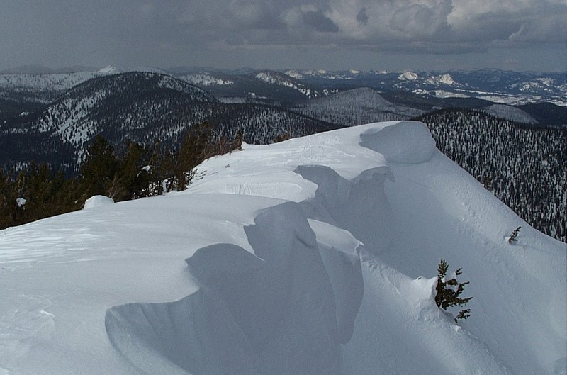
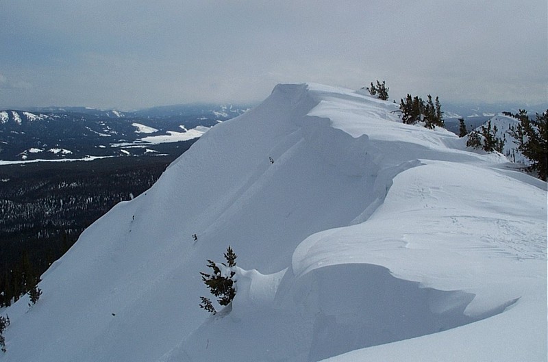
The summit ridge of Copper Mountain. This was the biggest cornice I had ever seen in person. Probably 25-30 feet high.

Trip Report (February 17, 2002):
Zach and I snowshoed to the top of Copper Mountain on a warm, sometimes sunny, sometimes cloudy February day. This is a common hangout for telemark skiers, which climb up and ski down. We decided to follow their route to the top. We were surprised at the beauty of the mountain and the views enjoyed from the top. As you can see above, the summit cornice is worth the trip itself.

If you snowshoe the route, be sure to keep off the ski trail, as is common courtesy in the backcountry (for obvious reasons).

One other thing to keep in mind is that Highway 21 often closes during the winter between Grandjean and Banner Summit, check the Idaho Transportation Department's website before heading up (click here for that site).

Trip stats:
Time: 4 hours
Length: 4.5 miles
Elevation Gain: 2,000 feet
Class (difficulty): 2

Directions:
From Boise, head northwest on Highway 21 past Lowman and Grandjean to Banner Summit. 1.25 miles past Banner Summit, there is a plowed turnout on the left hand side of the road, park here. The vicinity of the turnout is at the beginning of the Bull Trout Lake road.

Route:
From the turn out, cross the road and follow the road northwest for about 1/2 a mile to a meadow where a side road is shown heading up the drainage. Shortly after entering the meadow, gain the ridge to your northeast and follow it as it trends easterly towards the summit. About 500 feet below the summit, you break out of the trees and can view the summit and remaining route. The climbing is a bit steep just before the summit, but still not ice-axe worthy.

Map of the Route:


Pictures: Click on the pictures below to see the full-size version.
Unloading the Durango at the turnout where the route starts.
The view of the summit... about 500 feet to go.
The summit of Copper Mountain.
Cabin Creek Peak and the north Stanley Basin.
Cape Horn Mountain to the northwest.
Spring Creek Drainage to the west (snow moving in).
Lower summit of Copper Mountain (notice the 4 skiers ascending).
Zach on top of Copper Mountain.
Elk by the road on the way back (near Lowman).


Please send comments, suggestions, and questions to dan@idahosummits.com.
© 2001 All Rights Reserved RockyMountainSummits.com