RockyMountainSummits.com Home  |  My Peak List  |  Message Board  |  Contact Me  |  View the Guestbook  |  Sign the Guestbook


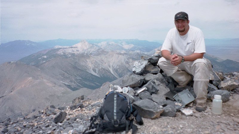
Diamond Peak - 12,197 feet


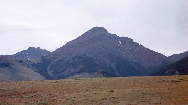
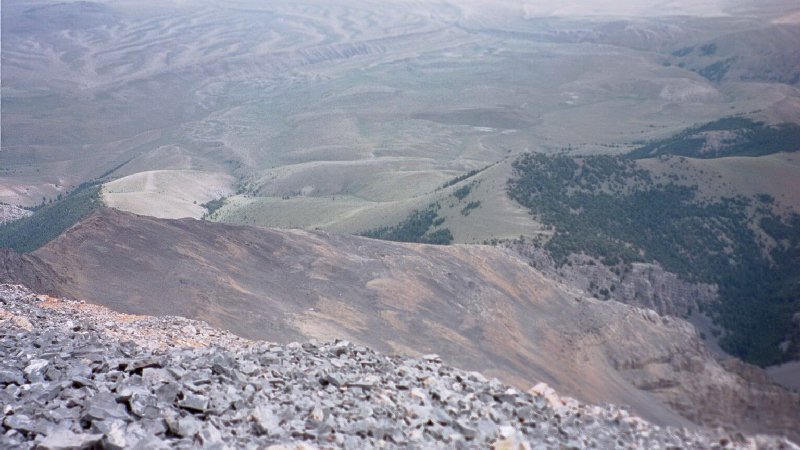
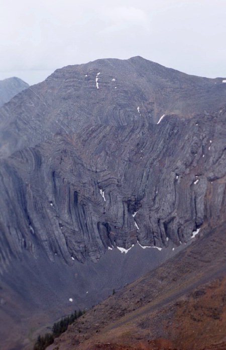
The view of Diamond Peak from the east, we are about 5 miles from the base of the peak here.

Trip Report (July 7, 2001):

Here is my trip report for a climb with state and county highpointer Ken Jones up Diamond Peak, the highest point in the Lemhi Range and Butte County. Diamond Peak is also Idaho's 4th highest peak and the highest point in Idaho outside of the Lost River Range.

Trip stats:
Time: 9 hours
Length: 7 miles
Elevation Gain: 4,200 feet
Class (difficulty): 3

Drive: From Idaho SR 28, take the signed Pass Creek road (north of Blue Dome site) westward. At 1.8 miles, a fork to the right immediately fords Pass Creek and climbs above the creek, then turns north. Follow the main track keeping right at 3.4 miles and passing through a gate. Stay on the main track as it winds northerly and westerly, and enters Targhee NF (gate and sign) at about 6 miles. Half a mile further, you are in Section 29 (see the 1987 Diamond Peak 7-1/2" quad) at the 4WD junction from the road. From here, the high clearance road becomes rough jeep tracks. The routes have numbered signs, which I did not write down. You want to head south, keep left at the first junction, cross the North Fork Pass Creek (dry when we were there, and the mapped 4WD tracks up and down the creek were obscure) and climb up to the south. Turn right in the lower middle of Section 32. We followed this track to the closed 8000' contour and parked there; there is a sign in the immediately adjacent saddle indicating "RTE CLOSED" beyond this point. This drive was definitely 4WD only, and a passenger sedan might not have got beyond the 1.8 mile mark.

Climb: The route is straightforward, following the remnants of the 4WD track to above 8200' and picking a way up to the ridge at about 9300'. After a level segment, you'll climb steeply to about 10200' and turn northwest. Then you'll climb to about 10800' and get to the fun part. The route follows on or just right of the crest (with occasional short segments left of the crest) all the way to the summit. The climbing is sometimes class 3 (maybe 6 to 10 pitches, from 10 to 30 feet high), but never very exposed if you are on route. Usually, it is much easier than it looks right on the crest.

Pictures: Click on the pictures below to see the full-size version.
Bell Mountain as seen from the east ridge on Diamond Peak.
Looking up at the ridge we must climb. This is the crux of the climb, around 11,000 feet.
Neat looking rock formation on the north ridge of Diamond Peak.
Another view of the east ridge.
Me on top of Diamond Peak with Bell Mountain in the background.
The route we used to get to the top of Diamond Peak (as viewed from the top).
The view south towards Saddle Mountain.
An awesome display of twisted rock across the canyon from Diamond Peak.


Please send comments, suggestions, and questions to dan@idahosummits.com.
© 2001 All Rights Reserved RockyMountainSummits.com