RockyMountainSummits.com Home  |  My Peak List  |  Message Board  |  Contact Me  |  View the Guestbook  |  Sign the Guestbook


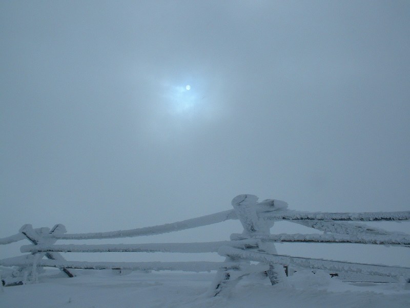
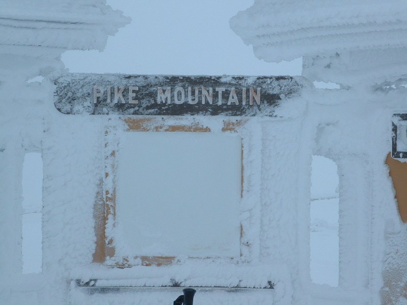
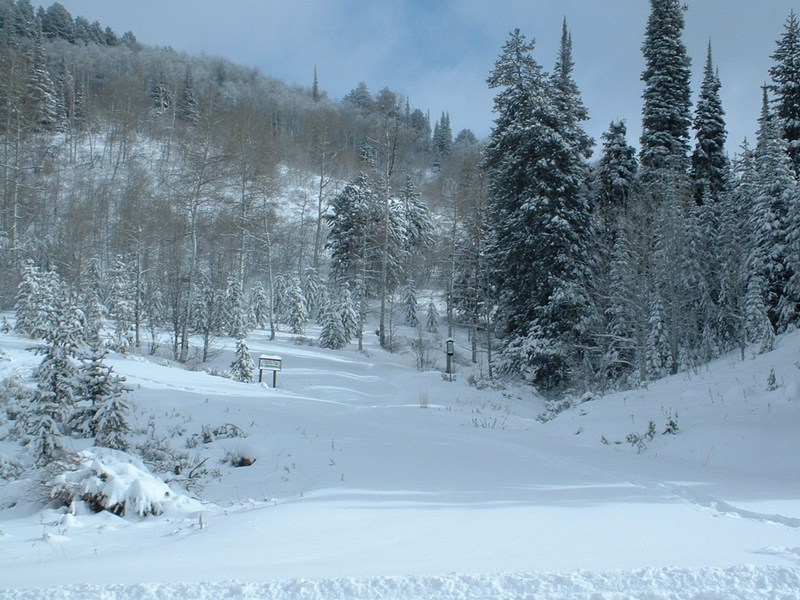
Elk Butte 7142 Feet/Pike Mountain 7710 Feet


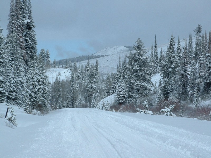
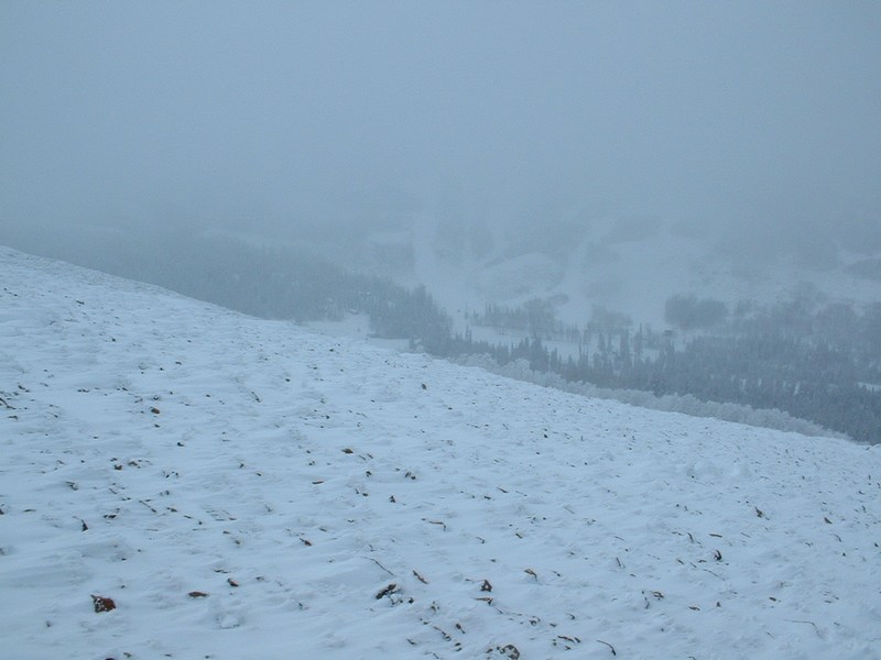
Elk Butte from the trailhead after things had cleared out a bit.

Trip Report (11/28/2004):
Thanksgiving with the Robbins' family in Twin Falls had died down a bit, so I was able to sneak out for a 1/2 day in the mountains. I was going to head to Black Pine Peak, but a SouEaster (my nickname for the winter storms that miss or do little in all of Idaho, except the mountains south of the Snake River and east of Twin Falls) raged through the weekend and still hadn't cleared out when I woke up Sunday AM. The year before, I had visited Pike Mountain in a white-out, so I thought I would return now that the weather should be clearer.

On the map, it looked like I could do a loop and visit Elk Butte, which is located a few miles north of Pike Mountain, then follow a ridge south to Pike Mountain.

As I neared the trailhead, I noticed that the storm had not cleared and that I was going to be breaking trail through the 12 inches of snow from the night before. Luckily, busting through the dry powder was easy, and I pulled into the parking area for the trailhead.

Breaking trail was a bit of work, but the wind and snow were easing by the time I neared Elk Butte and the winter feel was actually enjoyable since I was well prepared clothing wise. After a few photos from Elk Butte (pretty lame), it was off to Pike Mountain.

This time on Pike Mountain, I was able to see a bit further. Hoar frost covered everything and I noticed they had put up an information sign, benches, etc... since my last visit (or maybe I didn't reach the top last time?). On the way out, I was able to find the narrow trail heading down from the saddle between Point 7304 and Pike Mountain and enjoy the pleasant tromp through the pine and aspens.

Trip stats:
Time: 3 hours
Length: 5 miles
Cumulative Elevation Gain: 1500 feet
Class (difficulty): 2

Map:
Topozone or topo with the route drawn on it.

Drive:
Take Rock Creek Canyon Road heading south out of Hansen, Idaho. Follow the road for approximatley 26 miles. The Walstrom Hollow trailhead is exactly 1 mile before the Magic Mountain Ski Area. Parking is on the west side of the road, the trail is on the east side.

Route:
From the trailhead, I followed a snowbound road heading north and cutting along the hillside (this road is clearly shown on the topo). This road eventually placed me just south of Elk Butte. After summiting the butte, I just followed the ridge crest south toward Pike Mountain. In places, I could see the road (marked as a jeep trail on the quad). After reaching the top of Pike Mountain, I returned to the Pike - Point 7304 saddle and dropped into the drainage leading back to the trailhead. There is a trail here, marked for cross-country skiing if you can find it.

Pictures: Click on the pictures below to see the full-size version.
Looking south from the top of Elk Butte.
The slopes on Pike Mountain.
Hoar frost on a fence near the summit of Pike Mountain.
squaw butte
The sun from the summit of Pike Mountain.
Pike Mountain interpretive sign.
Looking down at Rock Creek Road from Pike Mountain.
squaw butte
Trail in Walstrom Hollow.
The trailhead.
Snow covered trees as the sun comes out.


Please send comments, suggestions, and questions to dan@idahosummits.com.
© 2001 All Rights Reserved RockyMountainSummits.com