Stats
Distance: 11 miles
Elevation gain: 5200'
Class (difficulty): 3
Time: 8 hours, 30 minutes
Report:
Each spring and fall I schedule a group outing for the posters on the Idahosummits message board. I initially did this to put faces to the names on the message board and just hang out with experienced climbers and like-minded people. With the exception of last spring, where bad weather and schedule changes affected turnout, the group has averaged around 8-10 each trip. So it was a normal turnout when 9 people turned out for this outing. Art, George R., Johnny R., Pat, Aaron, and Rob L. were Idahosummits outing "rookies"... a.k.a new friends by the end of the trip. Only Dave P. (Super Dave), John P. (splattski), and myself were returning partcipants.
I rode up with Dave. After smoky skies in Boise all week, it was nice to turn the corner at Arco and see rain showers scouring the smoke out the skies up around Mackay. As we neared the turnoff for Pass Creek Road, we started getting rained on and drove through a thunderstorm. We drove to the top of Pass Creek Summit and turned left onto the signed "Loristica Road". We were the first in the area, so Dave and myself went into the Loristica Campground to ensure it would meet our needs, which it did. So with reservations in place and a suitable locale, we proceeded back to Pass Creek Summit and stapled gorgeous Idahosummits signs up with directional arrows to get the rest of the group to the site. During this whole time the rain came down and even continued to rain while Dave and I holed up in his car listening to AM radio stations, critiqueing high school football play-by-play guys, and eating Nutter Butters.
The rain slowed around 7pm and we jumped out to set up camp. Right as we did, Rob joined us, followed shortly by John and Art, then George, Johnny, and Pat. After cooking up brats and lamb chops, it was off to the campfire for some story sharing. Eventually we would have to drag ourselves to the tents after several hours of interesting stories.
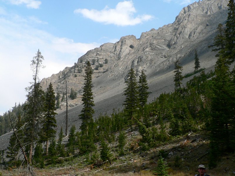
We arose to clear skies and cool temparatures. Aaron had also shown up early that morning. After breaking down camp and grabbing breakfast, most of the group departed around 7:30am. Rob "Landspeed Record" Landis would depart later. The sky was mostly smoke free, but we could see smoke rolling in once we reached the saddle between Octoberfest and Warren Mountain. The group hiked together from here and I was actually trailing the pack before a tricky move to follow a side trail around a bump on the ridge saved me about 100 feet of climbing and put me in the lead. This left 400 feet to go before Octoberfest on very gentle and open slopes to the top. Before I reached the top, Rob blew past me. As the main group was about to reach the top, we had our last conversation with Rob before he went to do the loop at a faster pace.
After Octoberfest, we dropped down to the basin below Hidden Peak and then headed up Hidden's east slopes. While these slopes looked steep from Octoberfest, they were not that bad and had very good footing (especially for the Lost River range). Once we joined the ridge near the summit, there were a few more obstacles to make things interesting. We had now done over 4000' of vertical. With less than a 1000' to go, I was whipped, but knew I could handle 2 more peaks. So off we headed for Wet Peak.
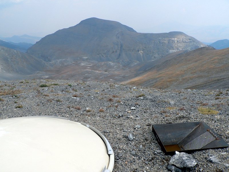
We knew the crux of the day would be the slope between Hidden and Wet. There is drop of 500' between Hidden Peak (11308') and Wet Peak (11309') and most of that 500' was class 3, with some really neat knife-edges making for exciting climbing. While fun, the route is not really exposed in any area. The summit of Wet Peak came quicker than expected. We even found remnants of a triangulation station on top and 2 benchmarks. Despite some cramps near the top I felt really good. One descent to South Wet, those cramps worked themselves out. While descending Wet, we could see a white disc in the saddle between Wet and South Wet. Ideas of what is was were rampant, ranging from a crashed flying saucer to a Mackay resident's satellite dish that blew up here during a storm. Unfortunately it was just some kind of hydrology experiment.
To prevent cramps on the climb up South Wet, I pounded nearly an entire bottle of Gatorade and some GU near the disc. I then proceeded up the easy slopes to South Wet Peak for my 4th and final peak of the day.
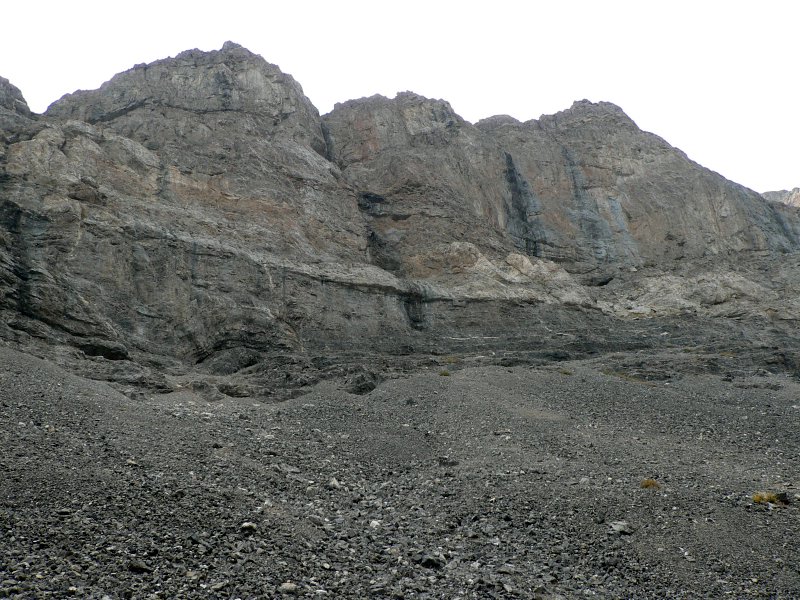
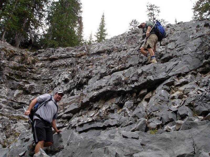
We had planned on descending to the basin at the base of the 4 peaks we had just climbed, crossing Octoberfest's shoulder, and descending back the way we had came (via the trail from the Warren/Octoberfest saddle). Pat looked at the map and determined that we could descend down Wet Creek and avoid any more elevation gain. So off we went down to the basin and through the gap and into a gully that would lead us to the Wet Creek drainage. It didn't take long to realize the drainage was an amazing place. We were immediately surrounded by rock cliffs on both sides. As we descended, we had to negotiate small cliffs that ran across the drainage every couple of hundred feet. While making the descent trickier, the cliff bands made the landscape more dramatic. Eventually we broke into the timber and after a neat scramble down one last cliff (a route with amazingly good rock and neat ledges to walk on) we were on gently sloping ground with an occassional trail.
The bottom of the Wet Creek drainage was amazing for Idaho, especially the Lost Rivers. It was damp, mossy, green, and very cool. While the hiking the bottom of the creek was less than ideal, it was neat to see the wild topography of the drainage and experience the flora in the lower parts. We were all glad to see the cars at the trailhead and most of the group arrived in time to miss the rainstorm that hit right at the cars.
So to sum up, it was another successful outing with great people and a great location. It certainly has inspired me to do some more wandering in the Lost Rivers. I would rank the Wet Creek drainage as one of the most wild I have seen, so I am betting other canyons in the Lost Rivers have some incredible sights to offer as well. Looking forward to next spring's outing!
Getting there:
From Arco: Take US Highway 93 north of Arco to the Pass Creek Road. Turn right on the Pass Creek Road. Follow this road 12 miles to the Pass Creek Summit. At Pass Creek Summit turn left onto the Loristica Road. Follow this road 1.7 miles to the fork in the road (there is a sign). Stay to the right and go through the gate to the campground.
|
|
Photos
|
|
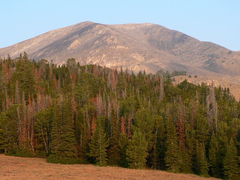
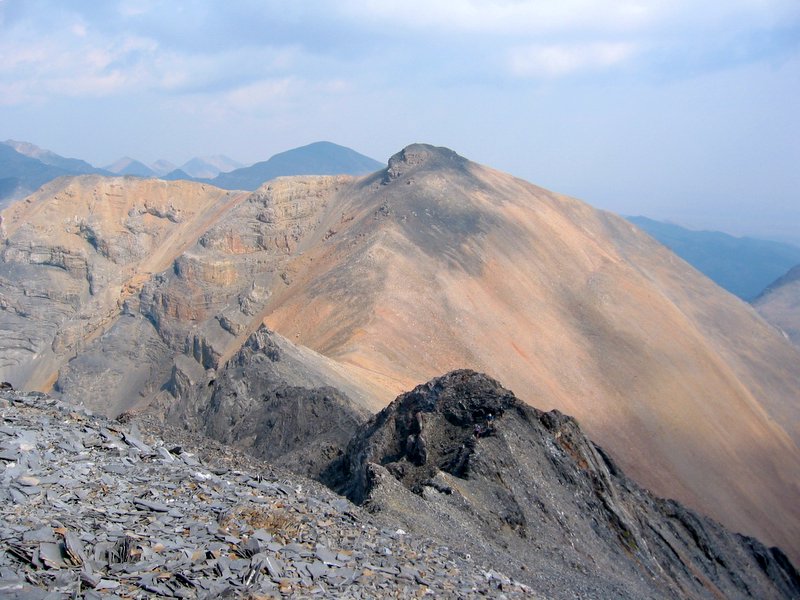
| Our first glimpse of Octoberfest Peak. |
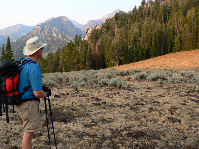
George at the Warren/Octoberfest saddle. |
| |
|
|
|
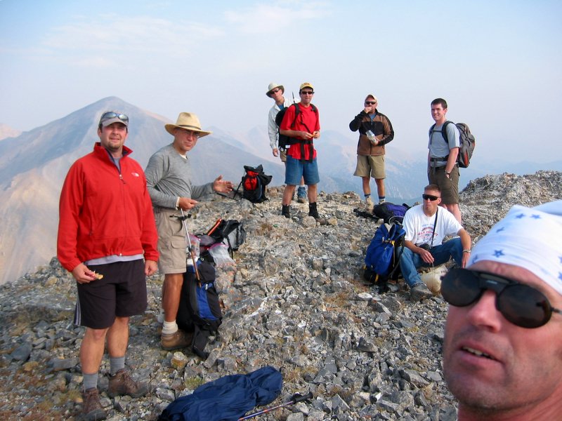
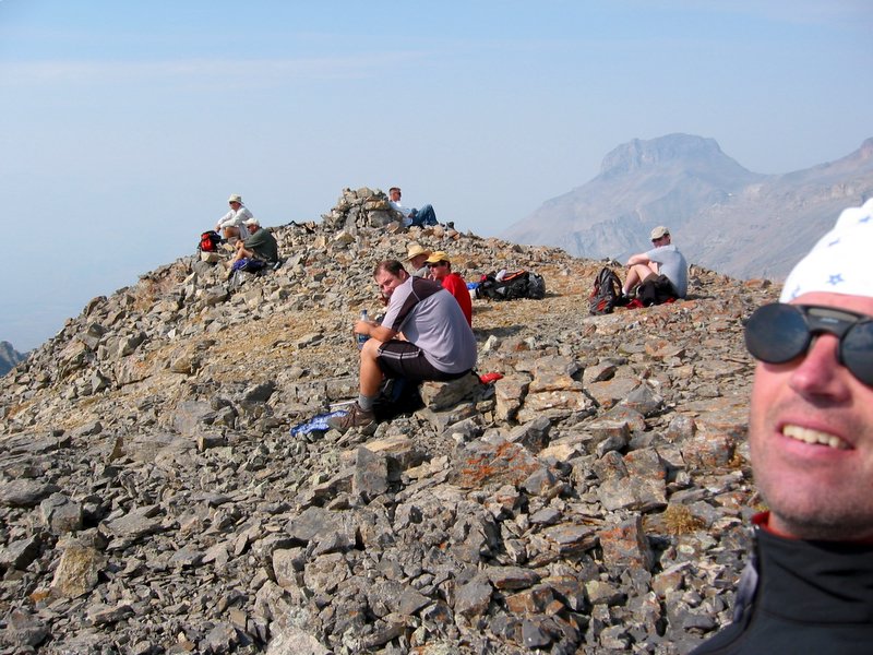
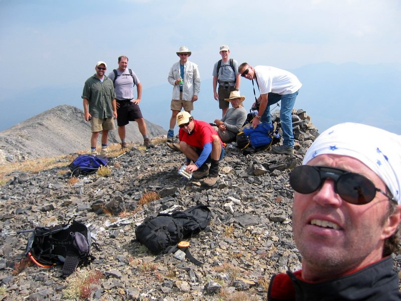
| The group on Octoberfest Peak (splattski photo). |
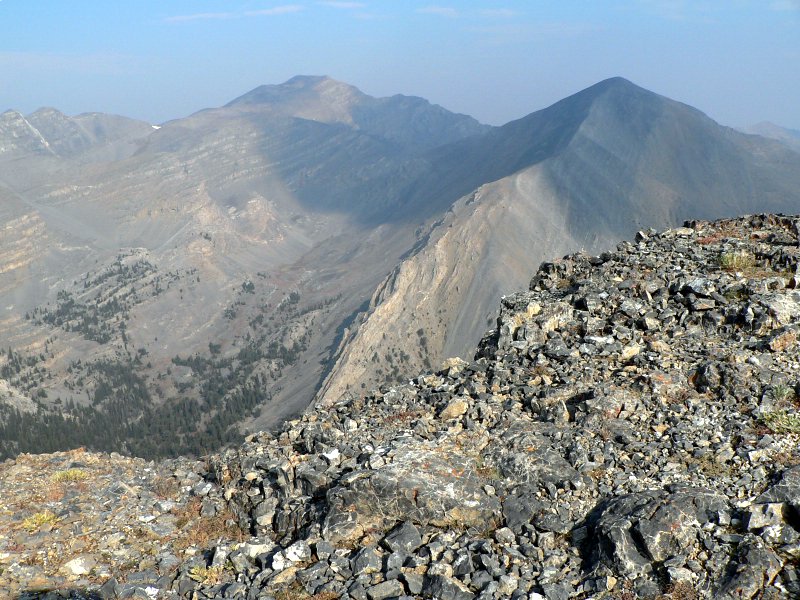
Peak 11240. |
| |
|
|
|
| The group on Hidden Peak (splattski photo). |
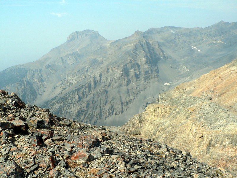
Mount McCaleb from Hidden Peak. |
| |
|
|
|
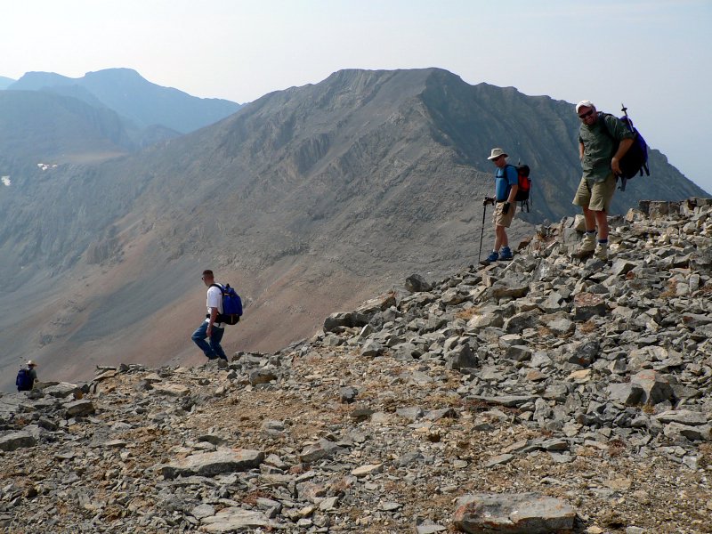
| The group leaving Hidden Peak. |
Octoberfest from the Wet/S. Wet saddle. |
| |
|
|
|
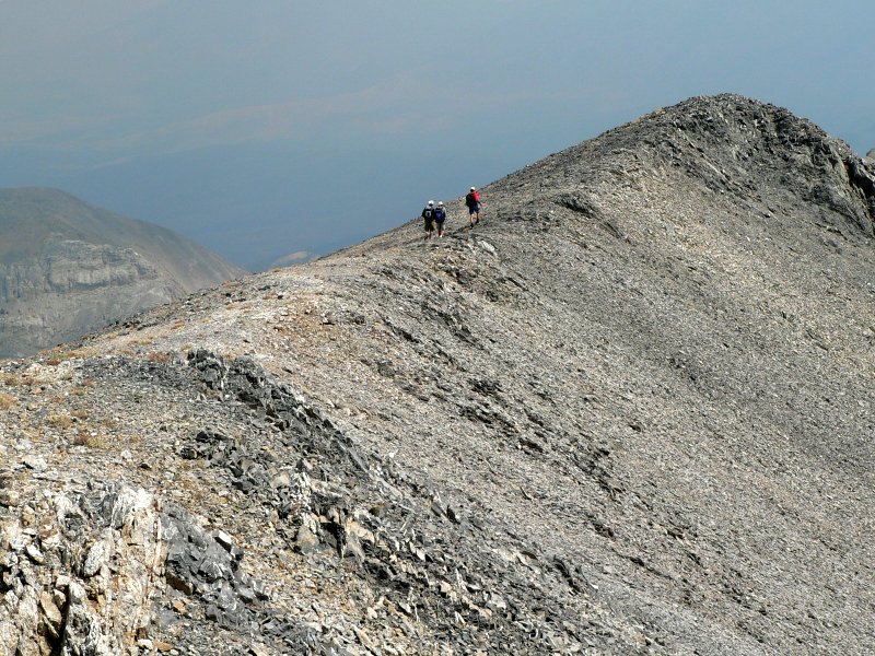
| Wet Ridge with 3 of us on it (Dave P. photo). |
Wet Peak's north ridge. |
| |
|
|
|
| Group on South Wet Peak (splattski photo). |
Wet Peak from South Wet. |
| |
|
|
|
| John, Art, and Pat on South Wet Peak's slopes. |
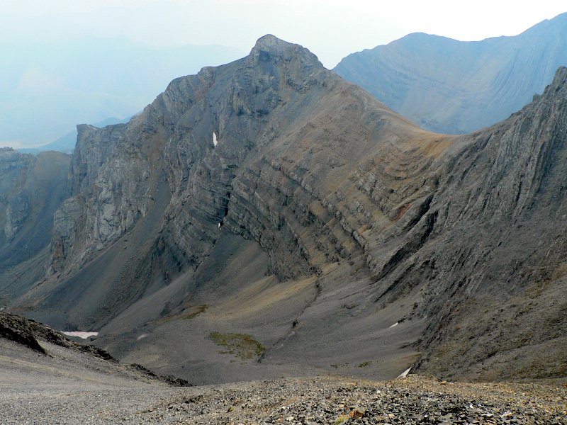
Folds in the rocks near South Wet Peak. |
| |
|
|
|
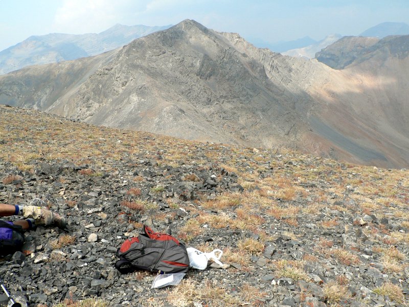
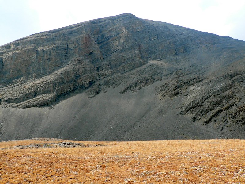
| Hidden Peak from the basin. |
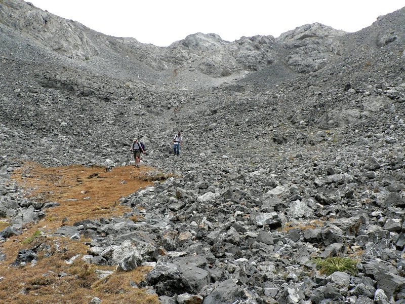
Slot we followed to reach Wet Creek. |
| |
|
|
|
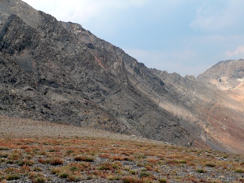
| Cliffs between Octoberfest and Hidden Peak. |
Cliffs as we descended into Wet Creek. |
| |
|
|
| Cave on Octoberfest as viewed from Wet Creek. |
|