RockyMountainSummits.com Home  |  My Peak List  |  Message Board  |  Contact Me  |  View the Guestbook  |  Sign the Guestbook


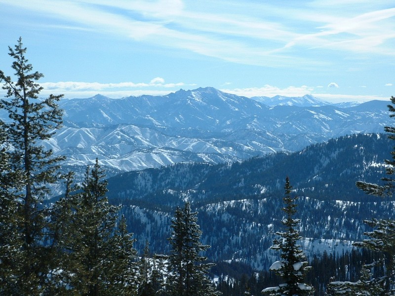
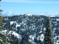
Steel Mountain from the top of Freeman Peak.

Trip Report (2/29/2004):
Freeman Peak is a minor summit located just west of Pilot Peak near Mores Summit. Mores Summit is a 50 mile drive from Boise. The peak is about 5 road miles from Mores Summit.

I just followed the groomed road heading west, then north from Mores Summit. After 4 miles, I turned due west at the saddle between Freeman and Pilot. Another mile of snowshoeing gets you to the top, with only the last couple of hundred feet on anything very steep.

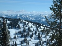
I was pleasantly suprised by the views from the top, beings it was such a flat summit with a lot of trees. To the southwest, Shafer Butte looms large. To the southeast you can make out Trinity Mountain and can't help but notice massive Steel Mountain. To your east are the Sawtooths, which were visible, but in and out of the clouds. Views to all other directions yielded snow and trees.

Trip stats:
Time: 3.5 hours
Length: 9 miles (10 mi. if you stick to the road both out and back, but I shoed straight off the east side of Freeman to Mores Creek and back up to the road.)
Elevation Gain: 2200 feet
Class (difficulty): 2

Directions:
To get to the Sunset Mountain trailhead, just head out of Boise on Idaho 21 toward Idaho City. About 13 miles past Idaho City you will want to make a right turn to get off the highway and park at the signed and plowed Mores Creek Summit.

Route:
Head west from the Mores Summit parking lot and immediately cross Highway 21. The road basically winds around Pilot Peak until it reaches the saddle between Pilot and Freeman. Here you head west on the ridge that connects Pilot and Freeman. Snowmobilers frequent this area, so if you are bothered by the noise, go early or on a weekday.

Another route option would be to park at the big switchback where the highway crosses Mores Creek for the last time (about 3/4 of a mile before you get to Mores Summit) and park in the plowed out area on the east side of the road. From there, gain the ridge on the southwest side of Mores Creek and (Freeman's southeast ridge) and follow it to Point 8013, where you would turn north and get to Freeman. I saw several people utilizing that route and it would keep you away from snowmachines and be more challenging.

Pictures: Click on the pictures below to see the full-size version.

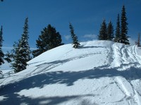
The summit of Freeman Peak.
Sawtooth Range from the top.
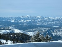
Shafer Butte (Bogus Basin ski area) from the top.
Pilot Peak, and lookout, from Freeman Peak.


Please send comments, suggestions, and questions to dan@idahosummits.com.
© 2001 All Rights Reserved RockyMountainSummits.com