RockyMountainSummits.com Home  |  My Peak List  |  Message Board  |  Contact Me  |  View the Guestbook  |  Sign the Guestbook


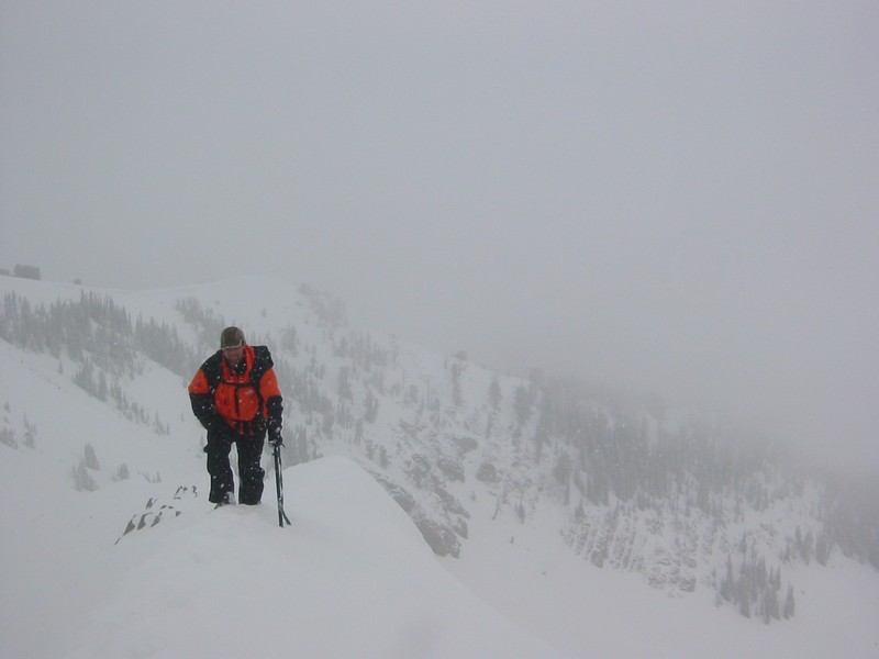
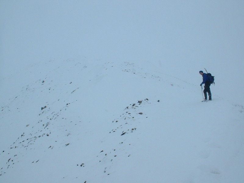
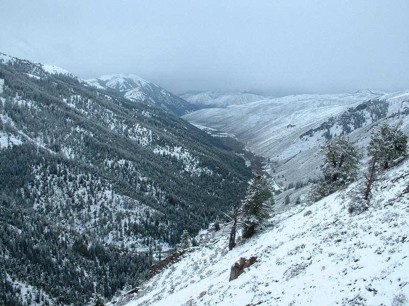
Grays Peak - 10,563 Feet


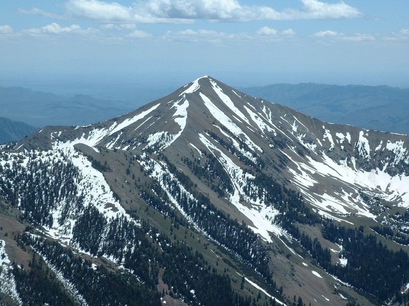
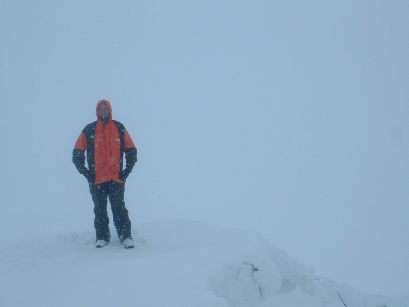
The view of Grays Peak a few months later.

Trip Report (4/17/2004):
I teamed up with Kevin D. for a ascent of Grays Peak. Several months ago, I received an email from Kevin, who was living out of state at the time, mentioning that he was moving to Idaho. Once he had gotten settled in, he asked if I'd like to head out for a day hike. We picked out a few routes, and went with Grays Peak in the Pioneers, as the route seemed safe from avalanches, within our abilities, challenging mileage and elevation gain, in a scenic area, and accessible. We headed out from Boise at 5 AM.

  The drive over was clear until we approached the Wood River Valley. Here it started sprinkling, and by the time we were in Hailey, the snow was accumulating on the ground. By the time we were at the trailhead, we were in 3 to 4 inches of new snow and it was still coming down lightly. The trailhead was Federal Gulch Campground, which is reached from East Fork Road. We parked near the bathrooms, put on our snowshoes, and headed out. Instead of taking the trail, which follows Federal Gulch, we decided to get on the west ridge as soon as we could. So after hiking about a 100 yards up the trail, we crossed the creek and gained the ridge. The snowshoes were now pretty useless, but we assumed we would need them higher up and left them on. At around 8000 feet, the ridge started getting rocky and narrow in places. The snowshoes were more of a hinderance then help, and the old snow we did walk on supported our weight, so after a brief discussion, we decided to leave the shoes at that point. Immediately after taking off the shoes, we reached some challenging terrain that required some class 3 climbing (probably only class 2 in the summer, but the rocks were snow covered and slick). These rock fins are on the spine of the ridge from time to time until you reach Point 8458 and finally emerge above the treeline.

  When we reached Point 8458, the snow let up enough so we could see the ridge to 9000 feet or so. It was steep, but basically just low brush and scree, with a few pine trees here and there. We stayed on snow next to the ridge for the most part, but had to hike on the scree slopes from time to time, which were slick with the new snow. We quickly reached the elbow of the ridge, just north of Point 9785. From this spot, we got a brief reprieve in the weather and could actually see the peak, which sported a large and steep northwest face, and the rest of the west ridge. The ridge looked manageable, with a snow drift extending most of the way to the peak. From here on, we were on solid snow.

We made our way past Point 9785 and a flat area on the ridge. This area was cool, with large cornices overhanging the cirque to the north. Once we started gaining elevation again, we lost our visibility as the snow picked up. We also decided at this time to pull out the ice axes, because the ridge had narrowed, and slipping off the drift could send you a long way down off either side of the ridge. The rest of the way to the summit was great, with a complete alpine feel, due to the cornice, near whiteout conditions, and steep drop-offs on both sides of us. We finally reached the top, which was the meeting point of three ridges, with a large drop-off to the east. We had some visibility to the east and south, but could not see more than a 100 feet down the ridge we'd just come up. Nothing like having the GPS unit guide you to within 10 feet of a waypoint you had input the night before from home!

After a brief celebration, we powered up on food and water and snapped some pictures. A wind gust and heavier snow helped us decide it was time to head down. The descent was trivial for the most part and the snow stopped near Point 8458, allowing us to view some of the surrounding terrain.

  So a potentially disappointing day was avoided (from lack of views), due to enjoyable company and a successful summit in challenging alpine conditions. Chalk up another nice visit to the mountains.  

Trip stats:
Time: 9 hours (5.5 up, 3.5 down)
Length: 5 miles
Elevation Gain: 4500 feet
Class (difficulty): 3

Directions:
Turn east onto the East Fork Wood River Road from Highway 75. The turnoff is about 5.5 miles south of the town of Ketchum. Reset your odometer. You will reach the small village of Triumph at 5.8 miles, just keep heading east on the road. Shortly after Triumph the road becomes dirt. Continue east on the road when you see the turn-off for the Hyndman Creek trailhead at 7.2 miles. At 11 miles you will see a sign for the Sawmill Gulch trailhead on the southside of the road. At 11.6 miles you reach the Federal Gulch campground and trailhead. Park here.

Route:
We ascended via the west ridge, which we gained right out of the Federal Gulch campground. In the summer you can follow the Federal Gulch trail to nearly 9000 feet and then scramble up to the summit.

Pictures: Click on the pictures below to see the full-size version.
The trailhead.
Looking up at the west ridge early in the hike.
Avoidable class 3 section on the lower part of the ridge.
 
Lower part of the ridge, where we had the best views.
Me on the ridge.
Kevin climbing above me.
Kevin on the summit.
Me on the summit.
East Fork Canyon from the lower west ridge.
Kevin checking out the sights from a rock perch.
Me doing the same.


Please send comments, suggestions, and questions to dan@idahosummits.com.
© 2001 All Rights Reserved RockyMountainSummits.com