RockyMountainSummits.com Home  |  My Peak List  |  Message Board  |  Contact Me  |  View the Guestbook  |  Sign the Guestbook


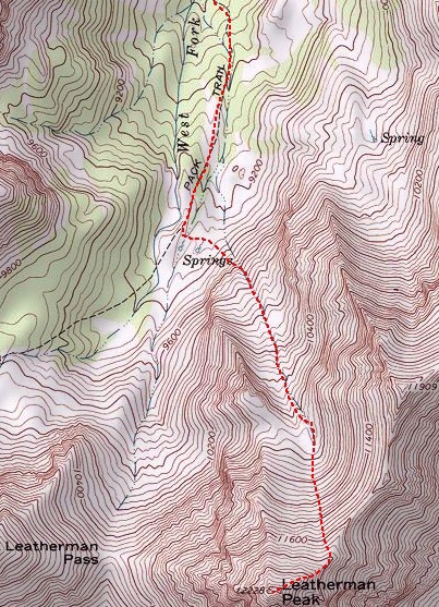
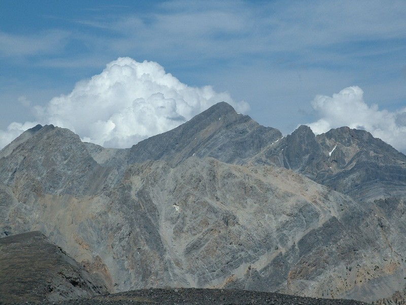
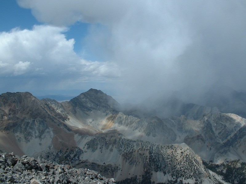
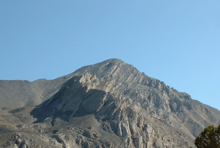
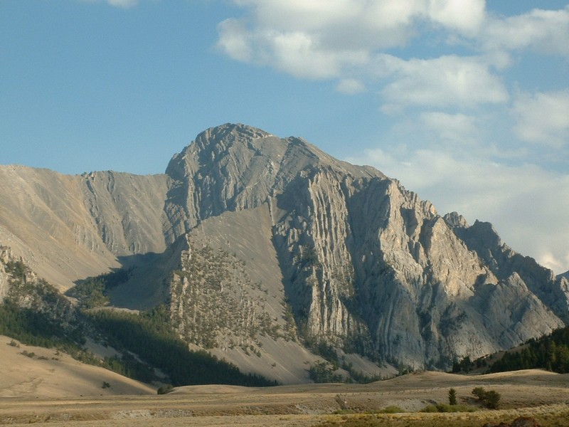
Leatherman Peak - 12,228


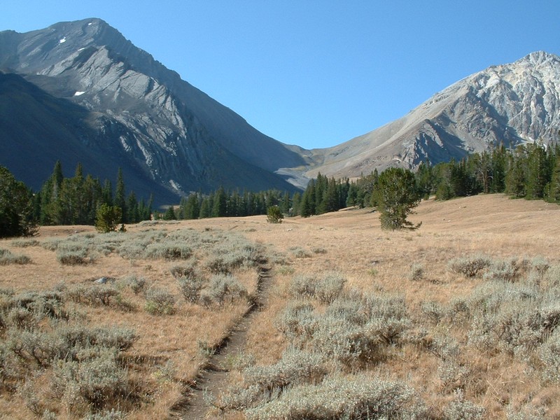
Leatherman Pass from the West Fork Pahsimeroi Trail. Leatherman Peak is left of the pass.

Trip Report (8/24/2002):
Climbing Leatherman Peak was quite an experience for me. The weather could only be described as schizophrenic. One minute, it was blue sky, the next there were big cumulus clouds all around. On the way down, we even got snowed on for about 5 minutes.

Like the weather that day, this country is raw. The trail portion of the hike is through a beautiful forest, with pristine creeks. Once you see the meadow, surrounded by 12,000 foot and near 12,000 foot peaks, you'll really start to see what a special place it is. After a half mile on the meadow, it is time to cross a few small streams and find the head of the gully on the steep slopes south of the meadow.

This gully is truly amazing. It is about a 10 foot wide path, surrounded immediately by rounded gravel walls, then eventually by towering mountain sides of rock and talus. Once at the top of this gully, at about 10,800 feet, is a cirque I call the ampitheater of the gods. In this cirque, you are surrounded by steep rock at least 1,000 feet high on each side, except the side you just came up. In the cirque is a snowfield, which feeds a stream that disappears under the rocks into the gully you just climbed up (surely the reason you can here bubbling water in the rocks underneath your feet in that gully).

From the cirque, a second, steeper gully must be climbed to attain the ridge at 11,800. This gully still contained relatively tight rock (though loose rock could be found on either side for a fast glissade down). Once on the ridge, you are in heaven! On the left are the tilted slabs and wicked looking summits of Bad Rock Peak and Mount Church. To your right are Mount Borah and Idaho and the valley you just drove/hiked up. After a bit of class 3 climbing, the summit is there. On top is a register in a military style box. Now you have a view of the epic looking Pass Lake and Leatherman Pass. Borah still looks cool, as do the Lost Rivers to your south. You can see Diamond Peak in the Lemhis, Castle Peak in the White Clouds, and the Devils Bedstead dominates in the Pioneers.

On the way out we heard cow calls from elk in the area. At one point, I came around a corner and shocked a calf elk, who had to convince mom (who hadn't noticed me) it was time to leave. We also found several trees that had been scratched on brutally by bears... even finding fur on a couple of the trees.

Like I say, a raw area. An area where the rocks are so ever-moving that most don't even have lichen growing on them yet. Trees and sounds showing the presence of animal life, which usually isn't found that close to a trail. Creeks clear and untrampeled by cattle. Huge peaks harboring piles of moraine, alond with slabs of twisted and tilted rock. What an awesome place, what an awesome trip!

Trip stats:
Time: 8.5 hours
Length: 8 miles
Elevation Gain: 4,100 feet
Class (difficulty): 3

Directions:
From Mackay, drive north on US 93 for 22 miles and turn east onto the Doublespring Pass Road. After about 5 miles you reach Doublespring Pass. Continue heading east on the road for about 3 more miles. Look for a sign identifying "Horseheaven Pass" and take a right onto that road. Follow this poor road over broad plains up and over Horseheaven Pass. Eventually, you come to a sign stating that cars and trailers are not advised. You then drop into Mahoghany Creek drainage and cross that creek. About a mile before the West Fork Pahsimeroi turnoff, you pass a cabin and corral. Turn right (west) at the signed West Fork Pahsimeroi turnoff and follow the road about 3 miles to the trailhead. There is adequate parking and camping areas for several parties at the trailhead.

Route:
From the trailhead, start following the trail west. Almost immediately, it forks, with one fork headed to Merriam Lake and the other to Leatherman Pass. Take the signed fork heading to Leatherman Pass. Follow this trail about 1.75 miles until you reach a meadow. Once it the meadow, you will hike about .5 miles until you are between Peak 11,909 and Leatherman Peak. From here, cross the meadow heading south and hit the gully coming out of the cirque between 11,909 and Leatherman. Once out of the gully, follow another gully up to the ridge between 11,909 and Leatherman, or hit Leatherman's northeast face on several good looking lines. We hit the ridge, where only one 25-30 foot section required class 3 climbing, though I think that could be bypassed by dropping off the ridge line a little (if you like less steep, but loose rock).

Map of the Route:


Pictures: Click on the pictures below to see the full-size version.
Borah Peak to the north.
Borah Peak a few minutes later getting snow.
Leatherman from the West Fork of the Pahsimeroi River.
Pass Lake from the top of Leatherman.
Mount Church from the top of Leatherman Peak.
Looking down at our route up the West Fork of the Pahsimeroi.
Unknown peak at the head of the East Fork Pahsimeroi Valley.


Please send comments, suggestions, and questions to dan@idahosummits.com.
© 2001 All Rights Reserved RockyMountainSummits.com