Stats
Distance: 8 miles
Elevation gain: 1200' (cumulative)
Class (difficulty): 2
Report:
Sean and I wanted to get out and do a ski/snowshoe on the same day. One of us suggested Mores Mountain and plans were set to tackle that peak from nearby Bogus Basin Ski Resort. We kicked around several ideas for ascending the peak, but settled on snowshoeing the nordic trail from Frontier Point. We followed the trail to the Shafer Butte Campground as shown on the Bogus Basin nordic map. From the campground we followed a boot path for the last mile or so to the summit. The weather was perfect, with a bit of fog moving in and out, but blue sky otherwise.
The summit was an interesting place. All the trees around us were plastered with white and one pine tree right on the summit was warped and twisted into the look of a bonzai tree (see photos below). The Treasure Valley was blanketed in clouds, which made for scenic photos. Squaw Butte north of Emmett was looking great, with its long and flat summit ridge. To the east and north, we could see the Boise Mountains, with Steel Mountain looking quite impressive before ducking behind low clouds.
We decided to descend straight down the south face of Mores Mountain, which in hindsight we realized would have been a very fun ski (I know Matt... you told me that the day before). After reaching the nordic area parking lot, we made the short drive to the alpine skiing parking lot and switched over to skis. This is when I found out a couple of things... 1) Sean is a good skier and 2) Snowshoeing before skiing makes skiing brutal. I was toast in about 2 hours.
All-in-all it was a fun day to be in the mountains. I was as sore as if I'd been on a larger hike.
Getting there:
From westbound I-84, take the City Center/Franklin Exit. Keep in left hand lane to head into City Center on I-184 (the connector). Take the River Street Exit. Turn left on 15th (heading North). Turn left on Hayes (heading West). Hayes takes a sharp right-hand corner where it becomes Harrison Boulevard (heading North) Go approximately 2 miles and Harrison Boulevard crosses over Hill Road and becomes Bogus Basin Road. Continue 16 miles up Bogus Basin Road (heading North) to the J.R. Simplot Lodge base area and parking lot. Continue 1/4-mile past the resort entrance through the main parking lot. The Nordic center will be ahead of you, at the Pioneer Road junction.
Hiking instructions:
Our route was to follow the nordic trail from Frontier Point. We followed the trail to the Shafer Butte Campground as shown on the Bogus Basin nordic map. From the campground we followed a boot path for the last mile or so to the summit. In the summer it is an easy walk via interpretive trails from the campground.
|
|
Photos
|
|
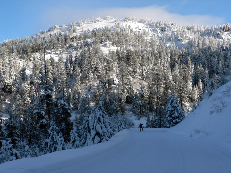
| Mores from the nordic trail. |
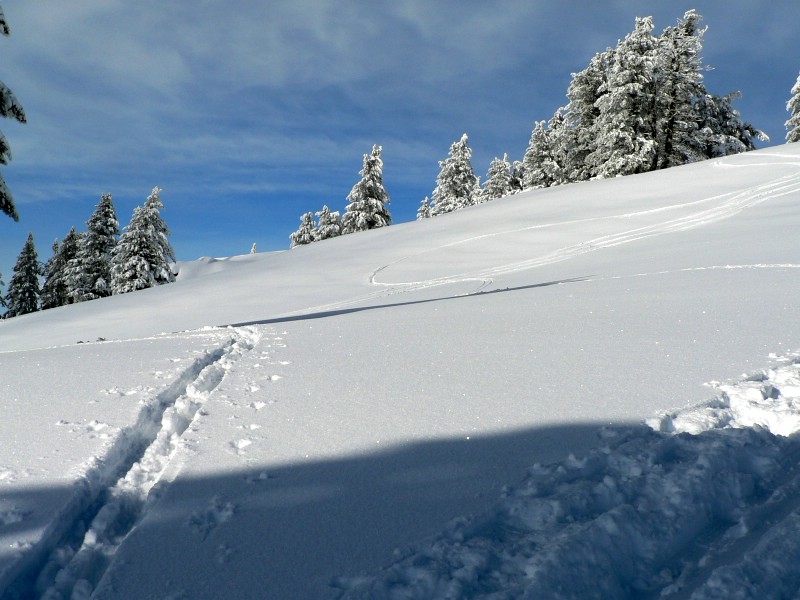
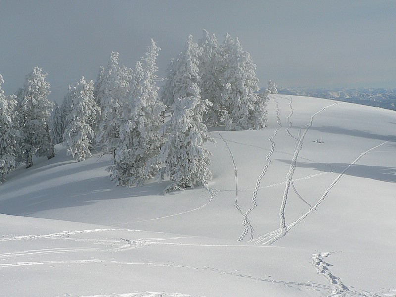
Our trail coming up from the campground. |
| |
|
|
|
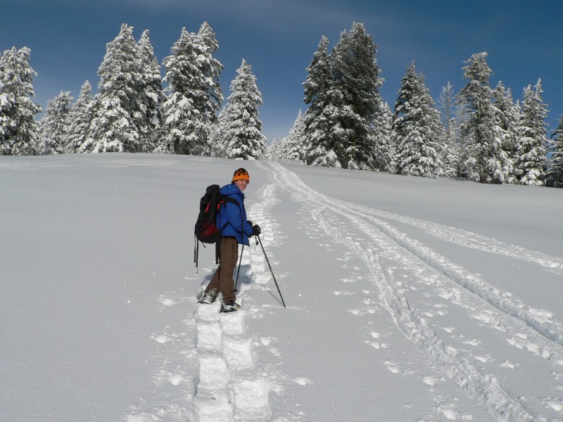
| Sean snowshoeing. |
Looking east at the Boise Mountains. |
| |
|
|
|
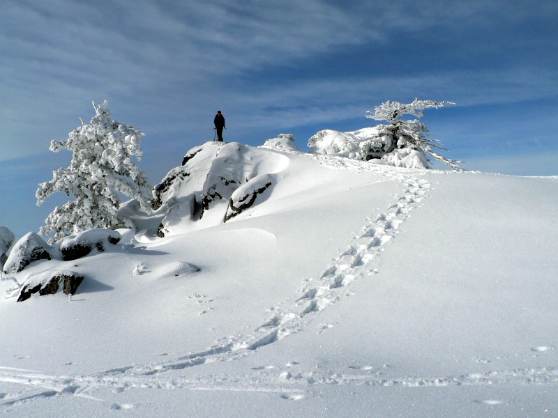
| The summit area. |
Sean on the summit. |
| |
|
|
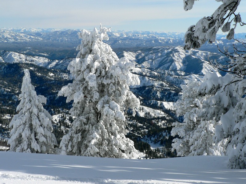
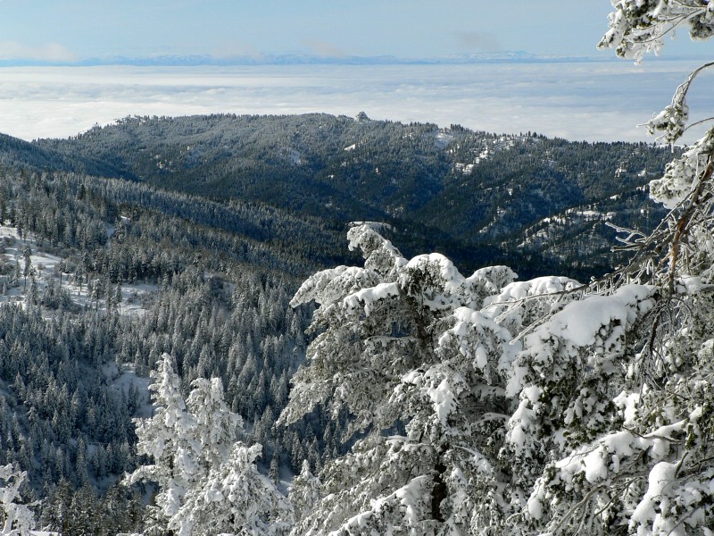
| Boise is down there under that fog... |
|