RockyMountainSummits.com Home  |  My Peak List  |  Message Board  |  Contact Me  |  View the Guestbook  |  Sign the Guestbook


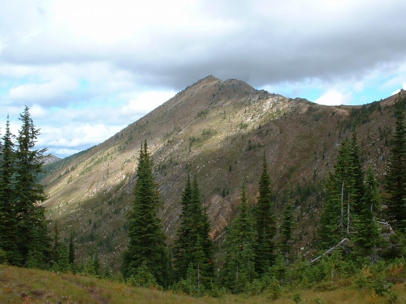
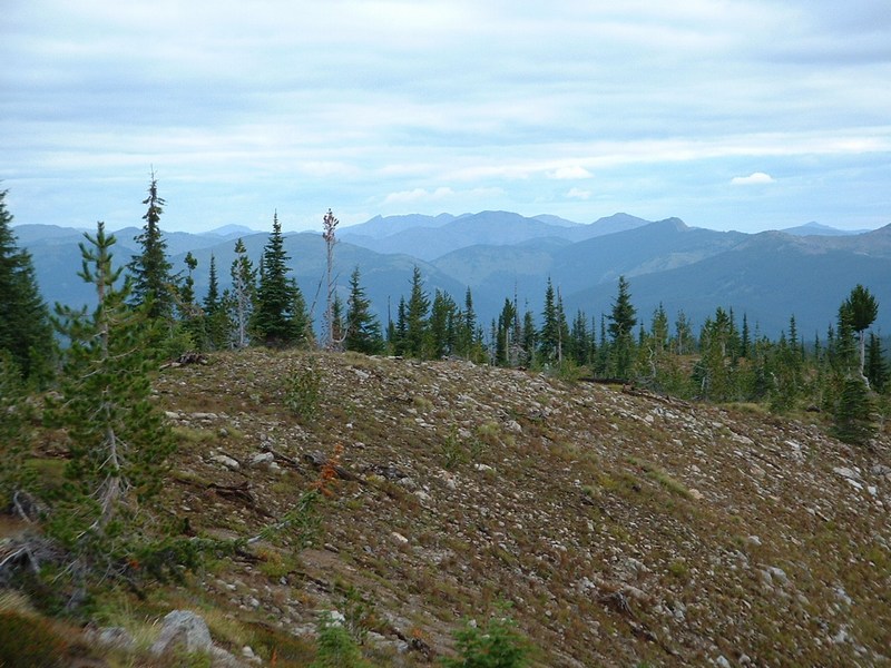
Rhodes Peak - 7930 Feet


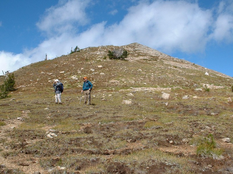
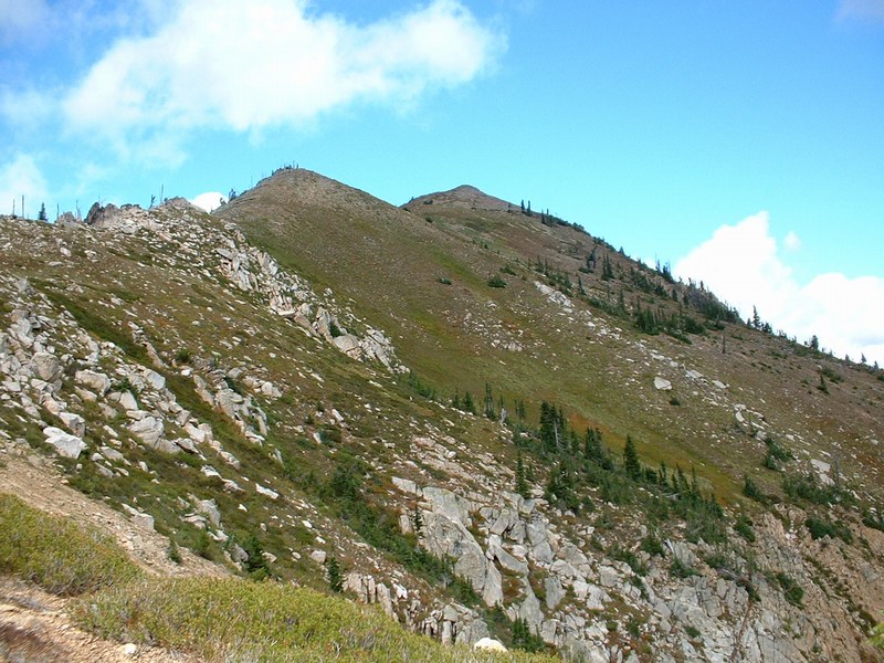
Dean Molen and Bob Bolton on the south ridge of Rhodes Peak.

Trip Report (8/29/2004):

In July, I planned on doing 10 northern Idaho county highpoints on my swing through the area. I did well, but missed one, Rhodes Peak, highpoint of Clearwater County.

I contacted Dean Molen and Bob Bolton, who are county highpointers from Washington state and asked if they would like to join me later in the summer to finish the county. I did so, because I knew they also were interested in the county and because the remoteness of the peak (heck the trailhead is a 1.5 hour drive from pavement!) left me not wanting to return alone.

Dean, Bob, and I set a date for 8/29 to tackle the peak. So after I did Trapper Peak in Montana, I met Dean and Bob at the Powell Ranger Station along the Lochsa River.

After a night's sleep in a campground near the ranger station, we headed up to the trailhead in Bob's dependable 4Runner. We arrived to the cold, windy trailhead atop Blacklead Mountain. Past highpointers had mentioned the trailhead was about 1/2 a mile further downhill, but that road had been closed. Oh well, that extra mile and 500 feet will make us tough!

Getting to the peak was quite enjoyable. There is a trail the entire way, which is a bit faint in some spots, but seems to be doing very well despite little usage. The time flew, as I listened to Dean and Bob's well-told stories and constant humor. The first major landmark we hit was Goat Lake. Just past Goat Lake, the trail reached a saddle. At this point, we decided to go cross-country to the east along the county line, and avoid the jog south the trail took. This steep variation worked, but I am not sure it saved much time. What it did do though, is put Bob and I in position to see a wolf. I was unsure what I was looking at, but no coyote I've seen was that big or that color. Bob confirmed my belief, as he too spotted the animal leaving the ridge, and quickly agreed that it was a wolf.

From the ridge just north of Williams Peak, we descended to the basin near Lake 7005 and met back up with the trail. The trail then lead us through two saddles and onto the southern ridge of Rhodes Peak, which we followed to the summit.

The summit had a large rock cairn, which contained a huge, well-made summit register in a pipe. The views were nice, especially the Bitterroots to the east. We high fived and took photos before starting our long journey back.

On the way back, I tagged the top of Williams Peak, which is the highpoint of, get this... the Williams Range. Dean and Bob passed on the excitement. After a few more hours of hiking, we arrived back at the top of Blacklead Mountain sore and tired, but happy with our accomplishment.

Trip stats:
Time: Approx. 9 hours
Length: 13 miles
Elevation Gain: 4000 feet (would only be about 3800 if you bypass Williams Peak)
Class (difficulty): 2 (Class 1 most of the way, but the Rhodes south ridge is easy class 2. Williams Peak can likely be done via a class 2 route, but the one I chose was class 3.)

Drive:

From US 12, turn north onto FS 569 on the north side. This point is just east of the turnoff to Powell campground and ranger station. Follow FS 569 to Papoose Saddle at 7 miles. Continue straight ahead at the 4-way intersection, onto FS 500 westbound. In 12 miles, at Cayuse Junction, turn right onto FS 581. In just over a mile at a switchback in the valley bottom, you will find a parking area and the start of FST 35. This route may work, but it will be longer than the one I used. Continue on FS 581 for another 6.25 miles to the saddle at 6,715 feet. The road has been suitable for cars to this point. Turn right and follow the steep and rugged road up to Blacklead Mountain. This last mile will likely require 4-wheel drive and high clearance. Park atop Blacklead Mountain.

Route:

From Blacklead Mountain, follow the now closed road northeast to the start of FST-508. The trail descends to the junction with FST-248, then turns more northeastly, and parallels the hillside to Goat Lake. From Goat Lake, the trail climbs to a saddle, then winds southeast to the south shoulder of Williams Peak, before turning back northeasterly and taking you to a saddle south of Rhodes Peak. From the saddle on Rhodes Peak, follow the obstacle-free south ridge to the summit.

Pictures: Click on the pictures below to see the full-size version.
Goat Lake.
Williams Peak from the north.
Rhodes Peak from an unnamed lake east of Williams Peak.
Rhodes Peak as we get nearer.
Rhodes Peak, even closer.
Dead trees on the south ridge of Rhodes Peak.
Goat Lake from the summit of Williams Peak.
Looking south from Blacklead Mt. (the trailhead).


Please send comments, suggestions, and questions to dan@idahosummits.com.
© 2001 All Rights Reserved RockyMountainSummits.com