Stats
Distance: 8 miles
Elevation gain: 1500' (cumulative)
Class (difficulty): 2
Report:
After much indecision on which peak to do, Sean, Kevin, and myself headed up to the Owyhees to attempt Rooster Comb Peak. We knew conditions would be muddy and that rain was even forecasted for that day. After meeting at Eagle/I-84, we proceeded towards Reynolds in Kevin's truck. Shortly after reaching Reynolds, we turned onto a dirt track. Conditions were not too muddy, but the road was washed out fairly deep in several places. Kevin ended up finding one of those places with his right front tire and we were stuck in a rut for an hour or so. We didn't give up, but had made no progress before some hunters showed up and pulled us out. We then went on to the trailhead, several miles north of the peak.
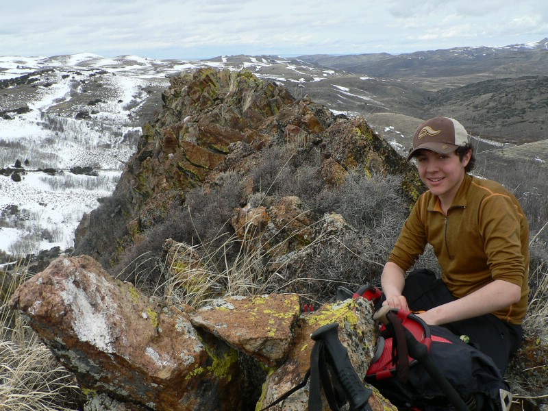
At the start of the hike, we thought the wrong peak was Rooster Comb. Thankfully the GPS and map got us squared away. We could barely see it on the horizon, but were sure we now knew where to head. The initial hike was extremely muddy. We then followed an old road and made our way to the base of the peak. Here we faced a dilemma… as we had to cross a fairly significant, rain swollen creek to get to Rooster Comb. After a lot of hemming and hawing, we took off our boots and waded across the thing deep creek. Shortly after that, we ascended the final slopes of Rooster Comb and were on top of the rocky perch.
The route could be kept to class 2, but the final portion of the climb can be done of the Rooster's Comb and is fun scrambling, with knife edge ridges even. After a long break on top, we headed back down. The hike went well, with the mud and creek crossing making things interesting. Thankfully the drive out was uneventful.
Getting there:
Just south of the ID-45/ID-78 junction turn onto the Reynolds Creek Road. Follow this good road for approximately14 miles until you reach the small town of Reynolds. Head south out of town. Reset your odometer at the cemetery. At 0.3 miles south of the cemetery turn west and follow this rugged dirt road for 4.8 miles. We parked just past a road the headed south toward the peak.
Hiking instructions:
We pretty much followed the road shown heading south toward Rooster Comb, eventually crossing Succor Creek and then ascending the north slopes of Rooster Comb Mountain.
|
|
Photos
|
|
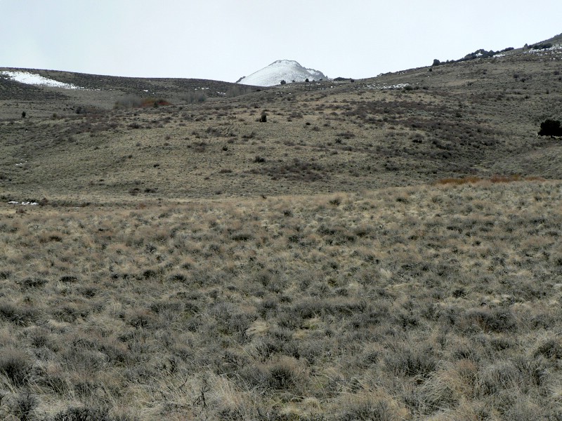
| Rooster Comb from the trail start. |
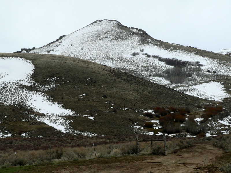
Rooster Comb as we near Succor Creek. |
| |
|
|
|
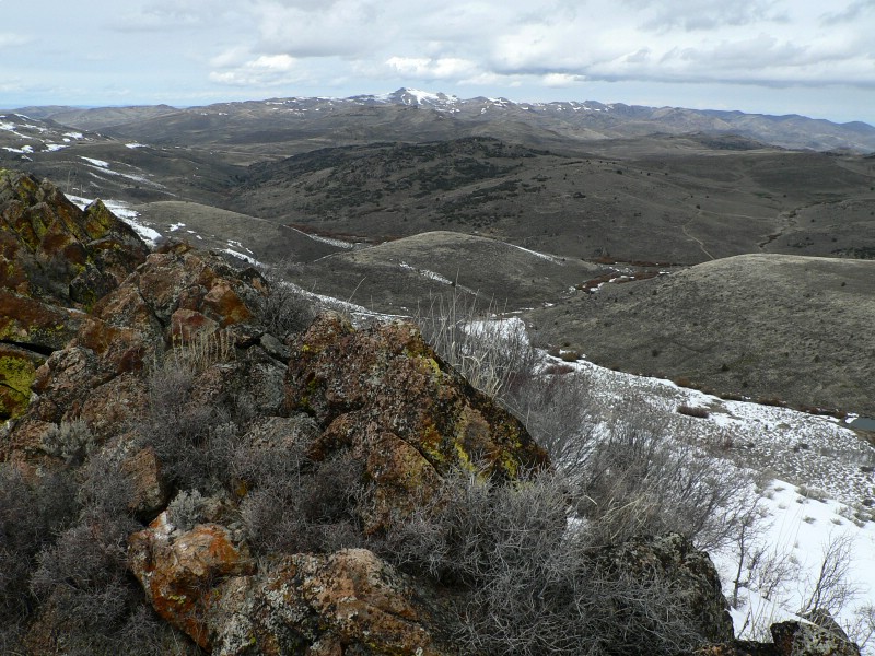
| Picture looking back at our route. |
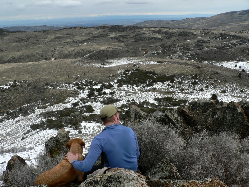
Kevin and his dog taking in summit views. |
| |
|
|
|
| Sean on the summit. |
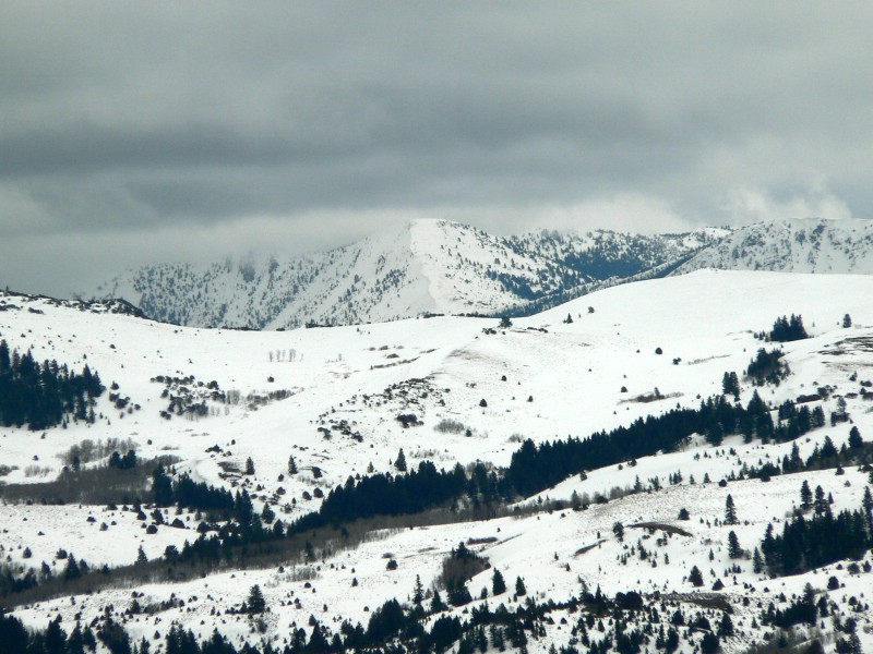
Clouded in Owyhees from the summit. |
|