RockyMountainSummits.com Home  |  My Peak List  |  Message Board  |  Contact Me  |  View the Guestbook  |  Sign the Guestbook


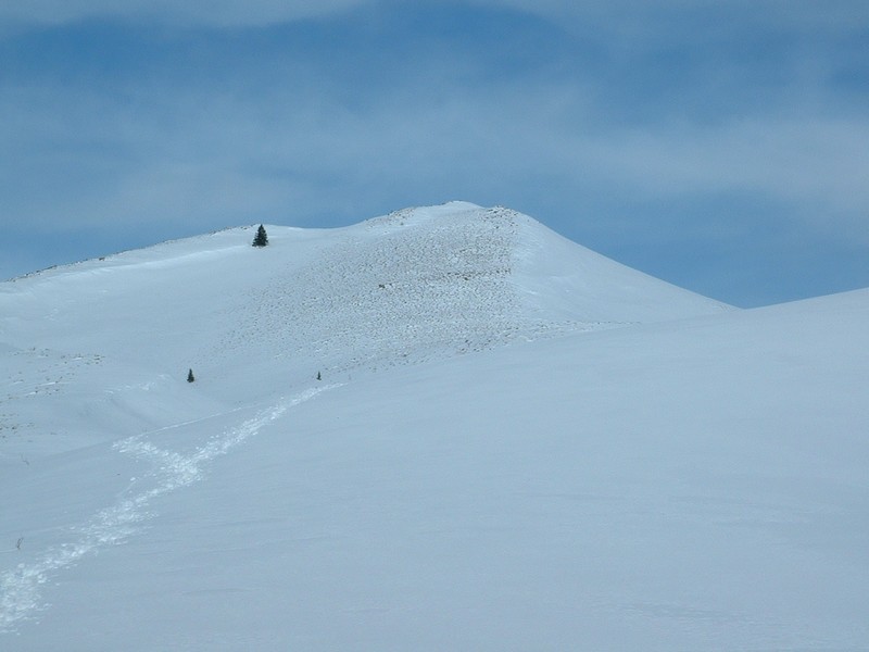
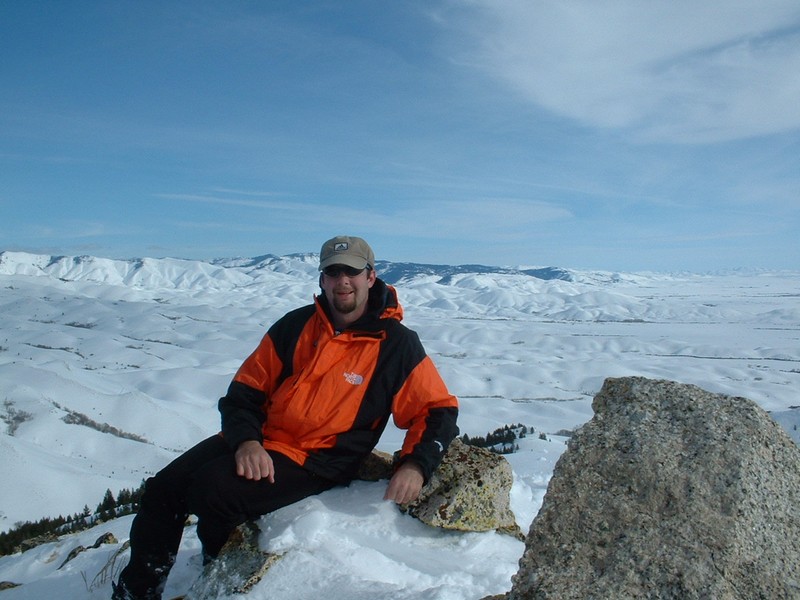
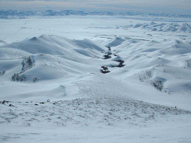
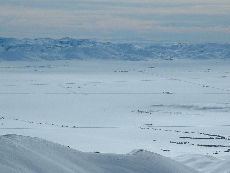
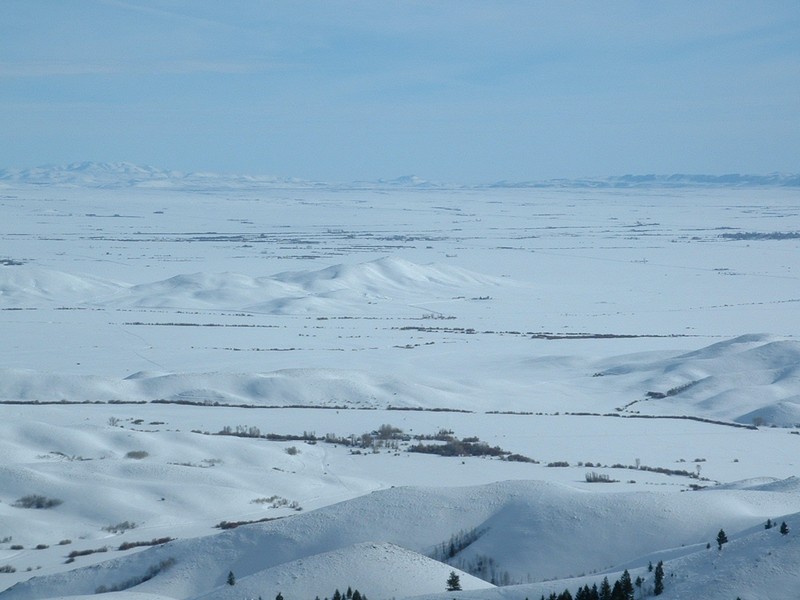
Sheep Point (6,987 feet)


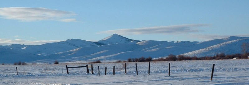
Sheep Point from near Fairfield about 3 weeks before my ascent.

Trip Report (1/10/2004):
A few weeks ago, from my uncle's house near Fairfield, I was taking photos and thought to myself that Sheep Point was a pretty worthy looking peak from the Camas Prairie. The next day my dad explained that they now plowed out a large parking lot up near Chimney Creek road for snowmobilers. A week later, while contemplating what to do at work, I put two and two together and came up with a plan reasonably lengthed snowshoe to get me to the summit of Sheep Point. When I got home and looked at the maps, the plan checked out.

So for my first peak of the year, I set out on one of the first stormless days in quite some time. From the plowed parking area, I headed along a snowbound road that followed the base of the Soldier Mountains. To my surprise, this road was groomed for snowmobilers. Along the road were huge drifts, they were about 15 feet high and some of them ran about 1/2 mile long. In about 1 mile, I turned north into the Sheep Creek drainage.

After about 3/4 of a mile, the creek bed narrows down and you have pretty large open slopes above you on either side. Due to the potential avalance danger coming down from the west (steep, snow-loaded slope, with visible sluffs), I chose to travel about 100 feet up on the east side of the canyon.

At 1 mile, you reach a spring that must be warm, as it has melted the snow away from a 10-foot wide path along the road. Just past the creek, the trip gets fun, as the route follows a flat area near the creek, away from avalanche threats, and near patches of willow and quaking aspen trees. It is also at this point when Sheep Point becomes visible. Just keep heading north and aim for the south ridge, which gets a lot of wind and therefore should be nearly snow-free. Follow this ridge for the final 1/2 mile on steep, somewhat rocky terrain to the summit. If there is very much snow on the south ridge, stay off... it is too steep and will be prone to avalanches.

The top of Sheep Point provides an excellent view in all directions. A huge canyon seperates you from the main Soldier crest, so the views are incredible. On the day I summited, you could see over the Bennett Hills and make out Mount Harrison and Cache Peak south of Burley... and the Jarbidge Mountains in Nevada!

The summit is fairly small, with steep dropoffs in each direction. There was some kind of wooden structure on top, with wires holding it in place. I didn't see or look for a register due to snow built up on the summit cairn. The weather was sunny and warm on top, with a little breeze. When I left the trailhead it was 14 degrees, when I returned, it was 18 degrees.

Trip stats:
Time: 6 hours (3.5 up, .5 on top, 2 down)
Length: 8.5 miles
Elevation Gain: 2300 feet
Class (difficulty): 2

Drive:
Turn north (left if coming from Boise, right if coming from Fairfield) at virtual mile marker 144.2 on 800 W. Follow 800 W for 1.9 miles to 200 N. Turn left. Follow 200 N for 2.7 miles and turn right onto 1800 W. Drive 1 mile and park in the plowed lot.

Route:
From the plowed parking lot, follow the road shown on the quad that parallels the foothills. This was groomed when I did the trip. After about a mile, just before a farmhouse, turn north into the Sheep Creek drainage.

Follow the canyon until you reach the base of Sheep Point, then take the south ridge.

Pictures: Click on the pictures below to see the full-size version.
Sheep Point shortly after entering Sheep Creek canyon.
Breaking trail along the creek.
Cool, wave-like drift near the route.
Getting closer to the peak.
Smoky Dome from the summit.
Iron Mountain from the top.
Wooden structure and cairn on top.
Me chilling on the summit.
Looking down at route from the summit.
The Jarbidge Mts. in Nevada!
The Camas Prairie below.


Please send comments, suggestions, and questions to dan@idahosummits.com.
© 2001 All Rights Reserved RockyMountainSummits.com