RockyMountainSummits.com Home  |  My Peak List  |  Message Board  |  Contact Me  |  View the Guestbook  |  Sign the Guestbook


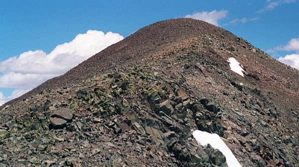
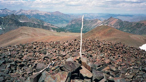
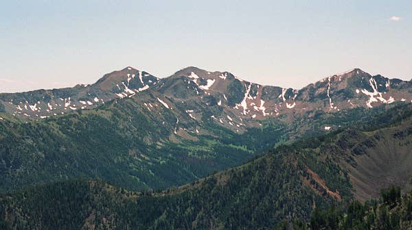
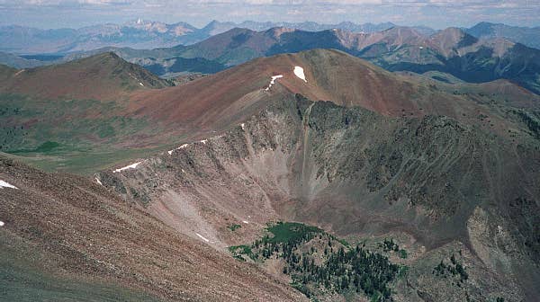
Smiley Mountain - 11,508 Feet


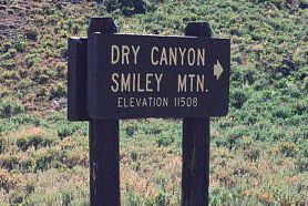
Sign identifying Smiley on the drive into Iron Bog campground.


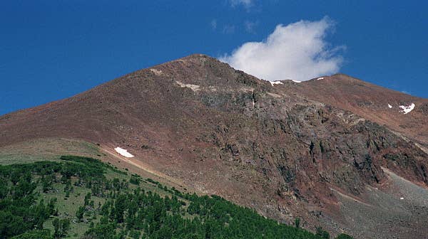
The view of Smiley Mountain from the southeast.

Trip Report (July 8th, 2000):
Smiley Mountain was a hard climb for me. The route starts out in waste high brush and climbs a drainage about 800 feet to a large, flat meadow at the base of Smiley Mountain. From the meadow, the route is steep, but easy, as it follows the drainage to the north and tops out on Smiley's barren southeast ridge. Catch your breath as the ridge slowly ramps towards the base of Smiley. From this point, the climb is on, as the route crosses a large boulder field on steep terrain to the summit. Beware that the south summit is a false one and a short ridge walk is necessary to get to the true summit. Once on top, enjoy fine views of the Pioneer crest, the mountains around Iron Bog Lake, and the Lost River Range (including Mt. Borah). On top is a summit register and a summit marker.

-Dan

Route:
I climbed via the southeast ridge, using directions from Tom Lopez's book, Exploring Idaho's Mountains.

Getting there:
Drive 9 miles north of Arco and turn left onto Antelope Creek road. Follow the road approximatley 22 miles to the Iron Bog campground. Just past the campground, the road forks. Take the right fork and follow it about 2 miles to a large, brush filled clearing. The road past the campground is rocky and crosses numerous streams, a 4x4, high clearance vehicle is a must!

Pictures: Click on the pictures below to see the full-size version.
Looking up at Smiley Mountain, about 300 feet below the summit.
Summit cairn and stick.
More Pioneer Mountain peaks to the southwest.
Looking north towards the Lost Rivers.


Please send comments, suggestions, and questions to dan@idahosummits.com.
© 2001 All Rights Reserved RockyMountainSummits.com