Strawberry Mountain - 9038'
Stats:
Date: 9/07/2008
Distance: 12.5 miles
Elevation gain: 3350' (cumulative)
Class (difficulty): 1
Time: 6:15
Range: Strawberry Mountain
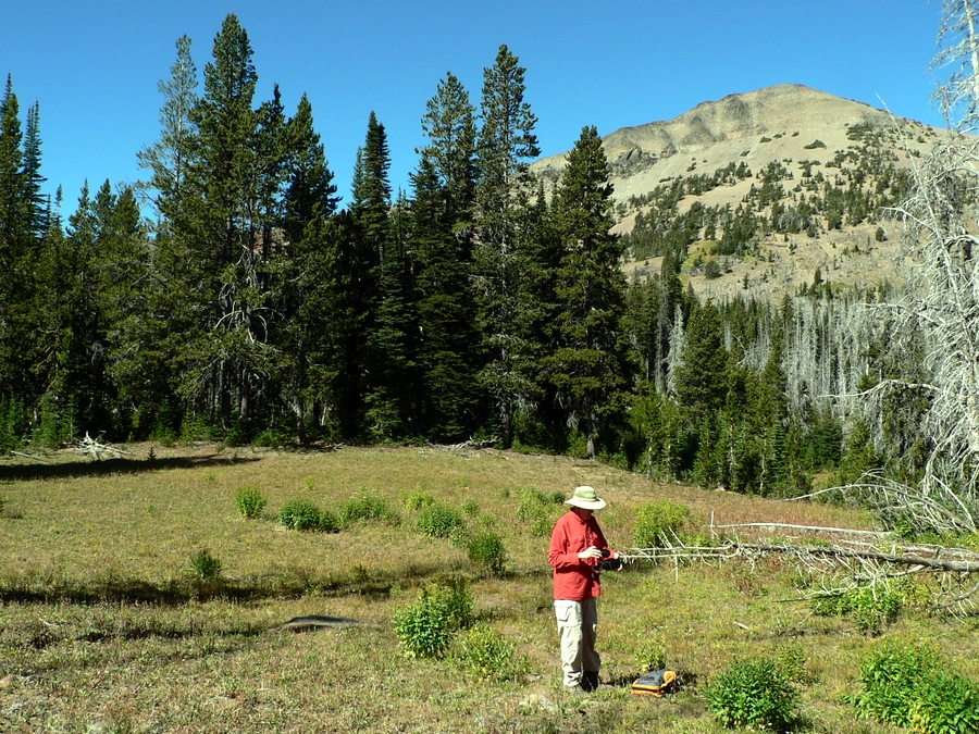
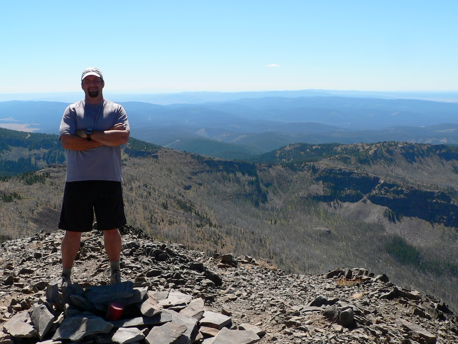
Partner(s): Zach
Report:
I hadn't been out in over a month, it just seemed like something came up everytime I started making plans. A weekend day finally arrived without anything going on, so I contacted Zach and decided to head out. We debated about 5 different peaks, decided on one, then changed our minds. Our final decision was to hike up Strawberry Mountain in Oregon.
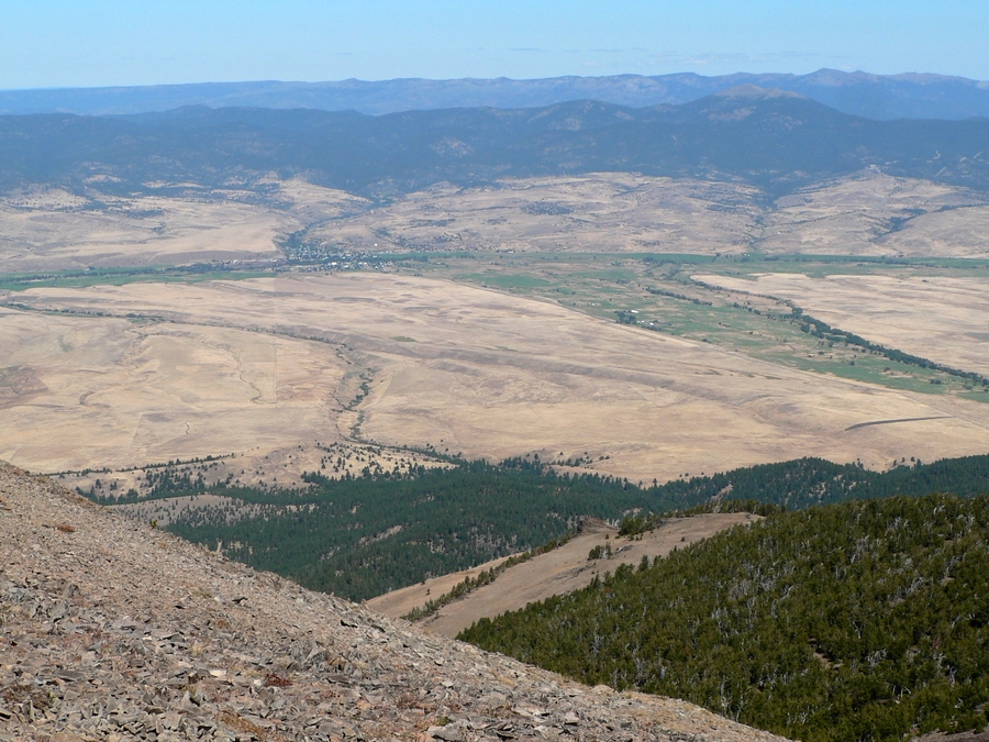
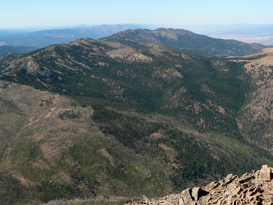
Strawberry Mountain is in central Oregon. It is the highest mountain in the Strawberry range, is the highest point in Grant County, and has 4080' of prominence. Needless to say, it is the highest mountain around and has commanding views.
The drive over took about 3 hours. There was a very easy route to the top that was only 1500' and 5 miles, but Zach and I wanted a more scenic route and chose to come in from Prairie City via Strawberry Lake trailhead. A sedan can get to the trailhead easily. At the trailhead, I opted for tennis shoes vs boots. I had done this one a hike earlier this summer and noticed it really improved my speed and foot comfort. About 1/4 of a mile into the hike, I realized this was a good move, as the trail was in excellent shape!
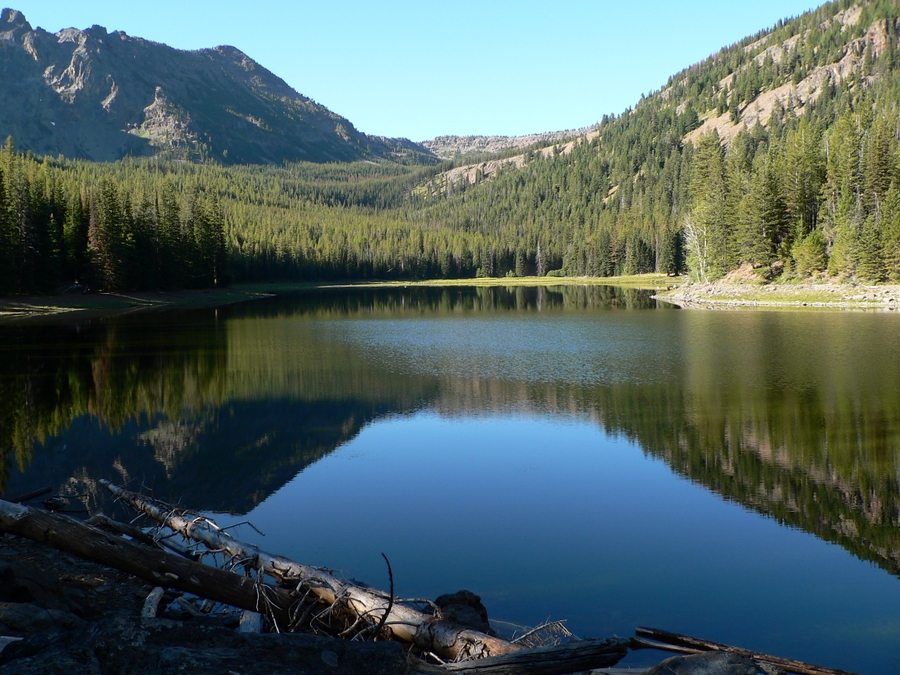
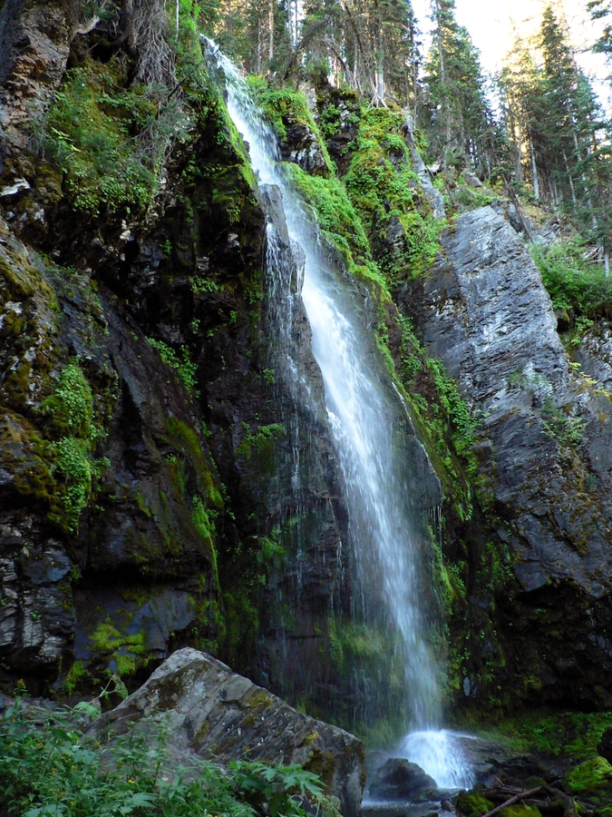
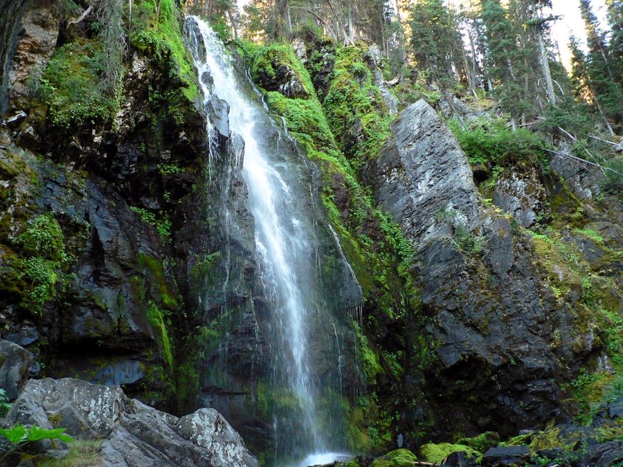
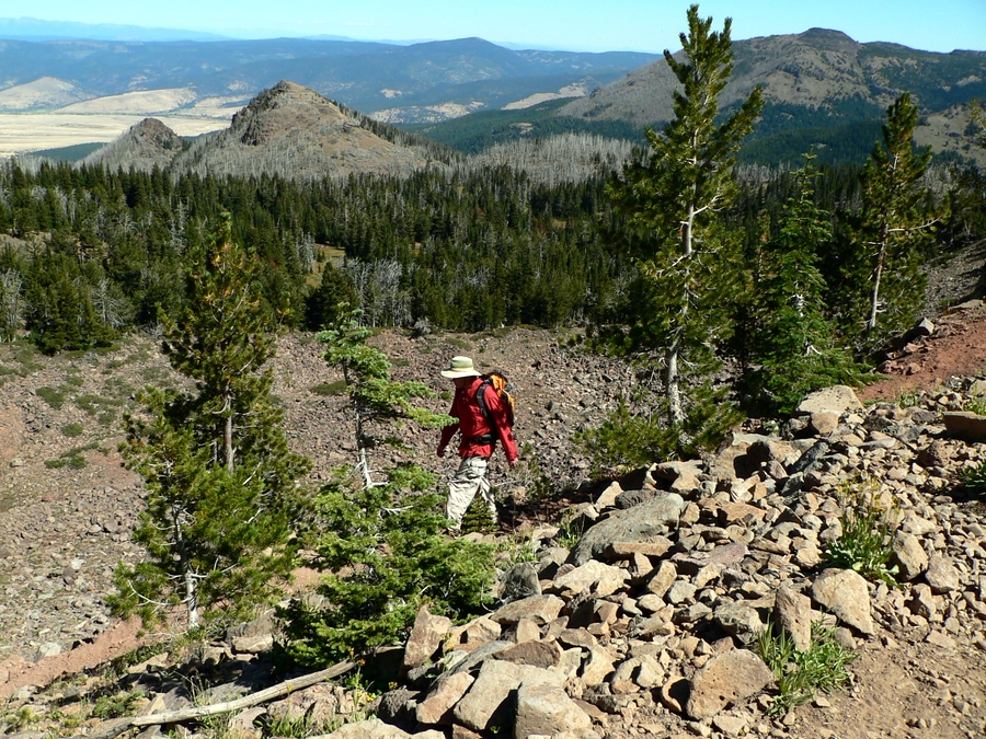
The first portion of the trail led us to Strawberry Lake in 1.2 miles. The lake was very scenic and there were even some steep, rocky peaks rising beyond the lake. From the lake, we followed the trail to up into the forest and eventually to Strawberry Falls, which was a nice looking waterfall that is right above the trail. From the waterfall, the trail got steeper and switchbacked up to a less-forested ridge.
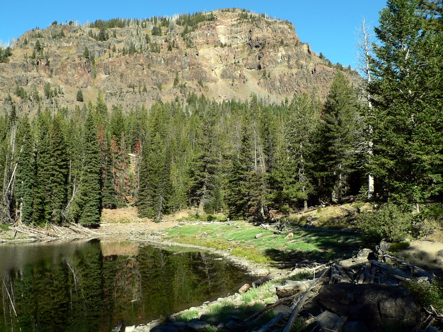
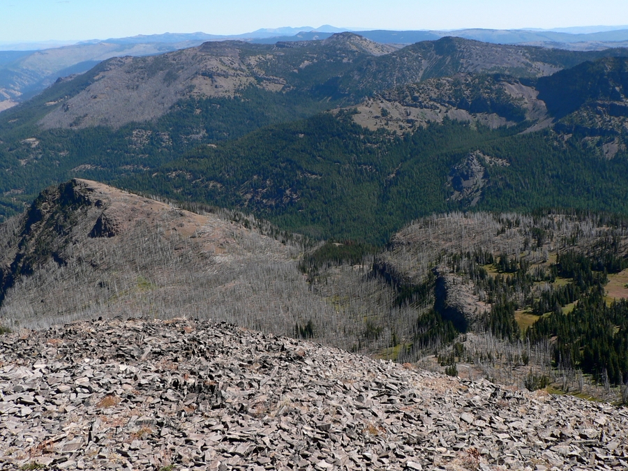
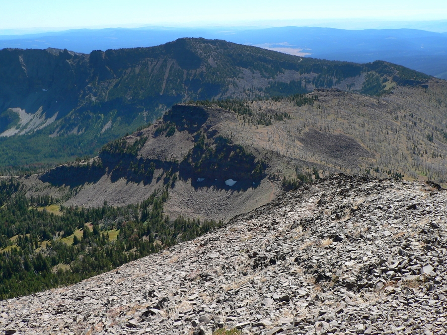
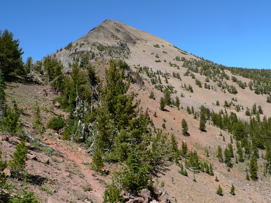
Once on the ridge, the trail followed the ridge a bit, before traversing northerly across a forested slope. This traverse led us to a basin with a great view of our final objective, Strawberry Mountain. After crossing the small basin, the trail switchbacked steeply up to the southeast ridge of Strawberry Mountain. From here the trail cuts across the east face of the peak and goes all the way around to the north ridge, where it then turns south and you ascend the final portion of the peak. The trail is easily followed and has excellent tread the entire way.
The views from the top are very commanding. However, you are really just looking out at dozens of small ranges and valleys surrounding the peak. While scenic, don't expect great views of large, rocky peaks all around you. Despite that, the lake, nice trail, waterfall, etc… make this a very nice hike.
Getting There:
Drive to Prairie City, Oregon. Take Highway 26 to the center of town and turn south on Main Street at the sign for Depot Park and Strawberry Lake. Go south to a "T" and turn left and go about a block to Bridge St. (signed for Strawberry Campground) Turn right (south) onto Bridge Street and go 10.7 miles to the end of the road at Strawberry Campground. The last 7 miles are on improved gravel. The Strawberry Basin Route trailhead starts from the parking lot at this campground.
Hiking Instructions:
Follow the nice trail all the way to the summit. The trip report contains some detail on what path the trail follows.
|
|
|