RockyMountainSummits.com Home  |  My Peak List  |  Message Board  |  Contact Me  |  View the Guestbook  |  Sign the Guestbook


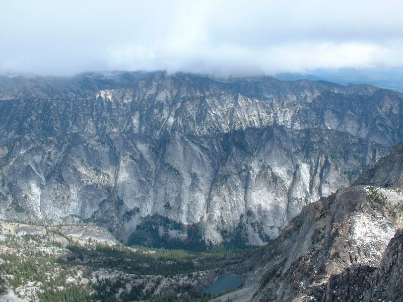
Trapper Peak - 10157 Feet


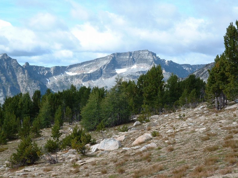
Looking west from the trail to Trapper Peak.

Trip Report (8/28/2004):

On my last trip to the Conner, Montana area, I had come to do the highpoint of Idaho County, Idaho. While doing that highpoint, I noticed that nearby Trapper Peak was pretty impressive looking. When I got back, I found out it was also a range and county highpoint. I vowed to climb it when in the area again.

Having been rained out in Clearwater County in July, I planned a trip back to that area. I noticed that going up through western Montana would allow me to hit Trapper Peak and only add about 75 miles to the drive, so I put it on the schedule for my first of two days.

Trapper Peak turned out to be a nice trip. From the south, it is not that steep and has a trail to within about 1/2 a mile of the summit. On the day I went, it was windy and cold, with snow above around 9500 feet from several days of inclimate weather the week before.

The trail started out in trees and headed pretty much straight up. I felt good and ascended 1800 feet in my first hour. I was a bit worried because clouds were moving in and the wind was blowing pretty hard, so I kept moving fast to get up to the top before conditions worsened.

Once I reached the treeline, I could see that I was going to be alright. The clouds were coming in and out and the wind blowing, but nothing bad enough to require turning back. I continued up to the base of the peak, when I noticed several people on the summit. I scrambled over the bouldery, snow covered terrain and was on top with a few minutes.

While the side of the peak I had come up from was not steep, the north face of Trapper wastes no time dropping down to the valley below. From the top of Trapper Peak, North Trapper Peak comes in view. North Trapper is a huge pinnacle of rock and is steep from all sides. The views of the Bitterroot Valley were incredible, as were the views of the jagged peaks to the west and north. Unfortunately, the views of the peaks to the east were blocked by cloud banks.

All-in-all, in was a good day in the mountains. This would be a good hike for a beginner or someone with a youngster in tow.

Trip stats:
Time: 4.5 hours
Length: 8.4 miles
Elevation Gain: 3800 feet
Class (difficulty): 2

Drive:

From US 93, I turned west onto Highway 473 and followed it for 11.4 miles to the signed turnoff for Trapper Peak trailhead. Take FS road 5630 for 6.5 miles to the trailhead. Several roads branched off, but stick with the most used road each time and you'll be fine. This road will be fine for two-wheel drives. Don't expect much camping along the road, a big parking lot at the trailhead, or even a port-a-potty.

Route:

From the trailhead, the trail heads almost due north along a ridge and through the forest. At around 9000 feet, you break out of the trees and can see Trapper Peak to your northwest. The trail angles toward the peak at this point. I couldn't find the trail for the last 1/2 mile of so, but there were several inches of snow covering the ground. Either way, just follow the ridge due west on boulders to the summit.

Pictures: Click on the pictures below to see the full-size version.
Trapper Peak from just below the summit.
North Trapper Peak from the summit.
Peak 9928, which is just east of Trapper Peak.
Self-photo on top of Trapper Peak.
Looking north from the top of Trapper Peak.
Looking down the north face of Trapper Peak.


Please send comments, suggestions, and questions to dan@idahosummits.com.
© 2001 All Rights Reserved RockyMountainSummits.com