Warm Springs Point - 6054'
Location: 43.80028°N, 115.93083°W
Stats
Date: 10/13/2007
Distance: 8 miles
Elevation gain: 2300'
Class (difficulty): 2
Time: 4.25 hours
Range: Boise
Partner(s): N/A
Report:
I had a partial day to get out, so I wanted to pick something close to home to hike up. I remembered a few friends mentioning Warm Springs Point, so I headed up toward Idaho City to climb that peak.
About 3 miles before reaching Idaho City, I looked for roads on the left (west) side of the highway that I could use to summit the peak. Private property blocked most roads, but the furthest road south was not signed. Within about 1/4 of a mile, it was gated and the sign said it was closed to vehicles for the winter. Since I wanted a decent hike anyway, I was not disappointed at all. So I started following the road as it headed in the general direction of Warm Springs Point. About a mile in, it intersected with a road heading more directly toward the peak. So I took that left branch. After another mile or so, this road faded into the forest and I was left with exactly what I didn't want that day... a cross country trudge on steep, brushy terrain. I decided to hit though, giving myself a 50-50 chance at making it to the top of the peak. I knew if I could make the ridge 1500' above me, I would find a road and could follow that to the summit.
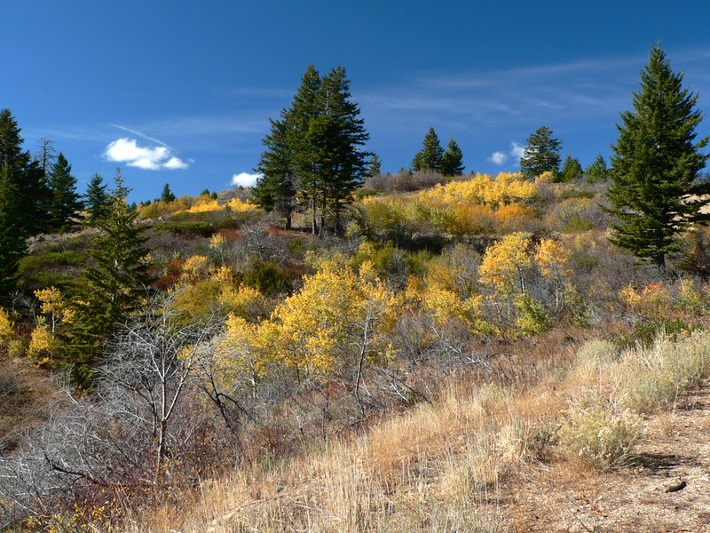
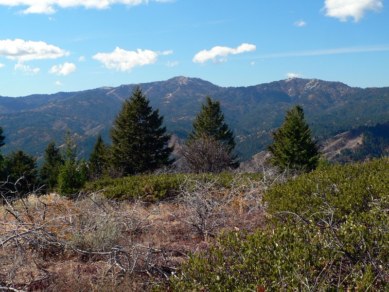
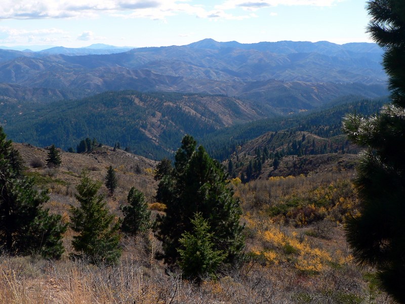
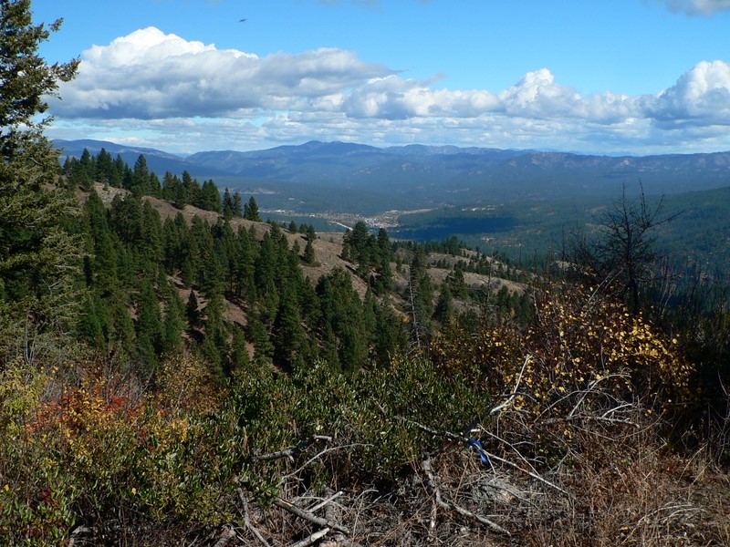
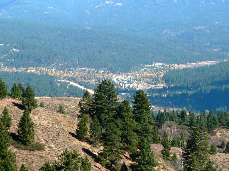
The off-trail portion was not that bad because the forest service had thinned the ridge I was on. In fact, I could follow orange ribbons from tree to tree to stay on the path they had created for the tree trimmers. Eventually I popped out onto the trail in an area with a great view of Idaho City. The GPS said I had about 3/4 of a mile and 200' of gain left. Other than seeing a few hunters, the rest of the hike on the road was uneventful. The peak is not that tall, but is a lot higher than anything else in the area, so it had fantastic views of Shafer Butte, Mount Heinen, Thorn Creek Butte, Sunset Peak, and Pilot Peak.
On the way down, I knew staying on the trail I had found earlier was critical and I did great in finding it and following it down about 750'. However, I messed up at some point and got off track. An already steep and kind of brushy hillside instantly became a very steep and annoyingly brushy hillside. I fought this for the next hour and then to my amazement, popped out on the faded road about 100' from where I had left it... had I just moved to my right 100', I would not have been on such miserable terrain. Oh well, I was down. The rest of the hike was uneventful.
Nice hike that is only about 35 miles from my house. I'd like to go back and stick on the main road all the way from the highway to see if that leads on the way to the ridge, so I could use that as a regular training route up the peak.
Getting there:
Take Idaho 21 to within 3 miles of Idaho City. Look for a unmarked turnoff on the lefthand (west) side of the road. Follow this road briefly to a closed gate.
Hiking instructions:
I followed the main road for about a mile, then branched off onto a side road that eventually petered out at the base of the east ridge. I followed the east ridge to the summit.
|
|
|