RockyMountainSummits.com Home  |  My Peak List  |  Message Board  |  Contact Me  |  View the Guestbook  |  Sign the Guestbook


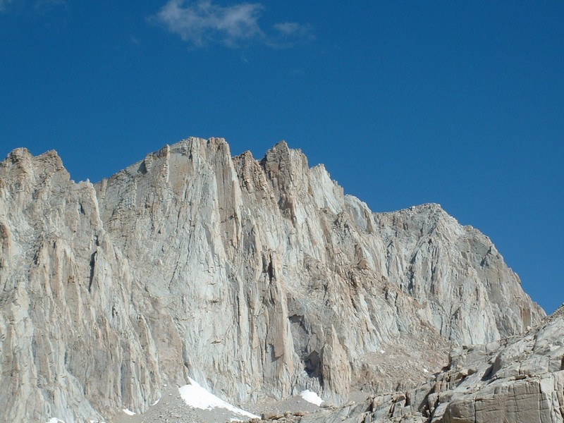
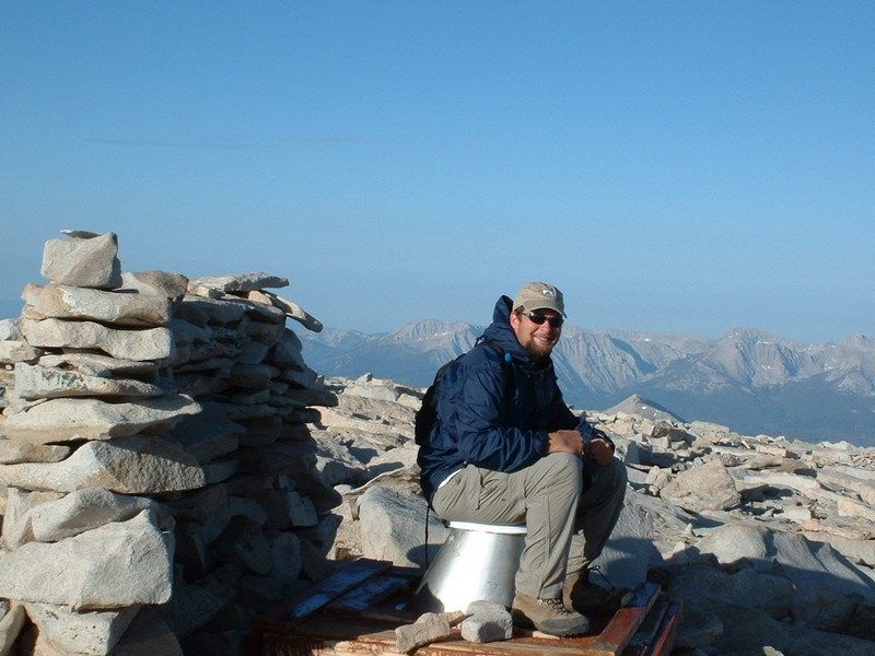
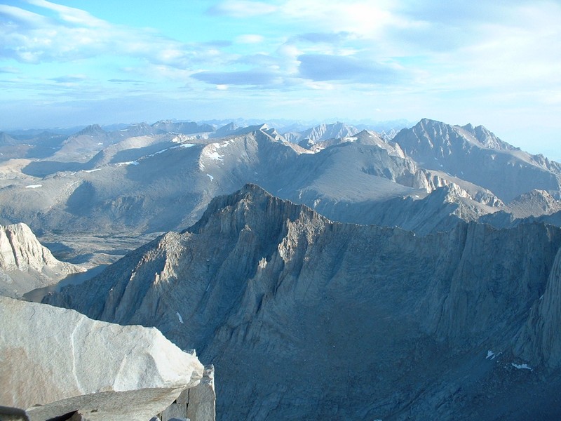
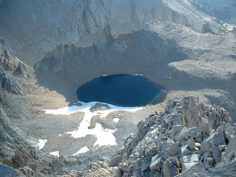
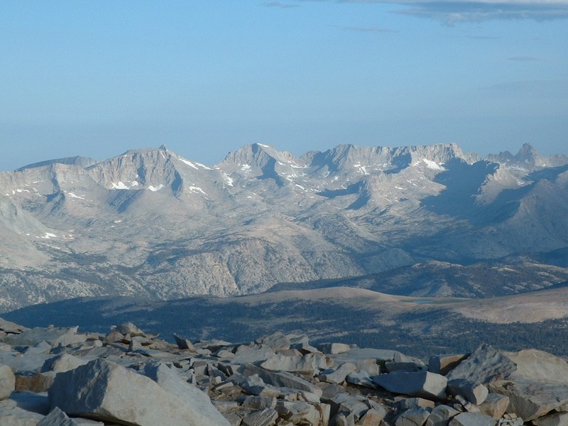
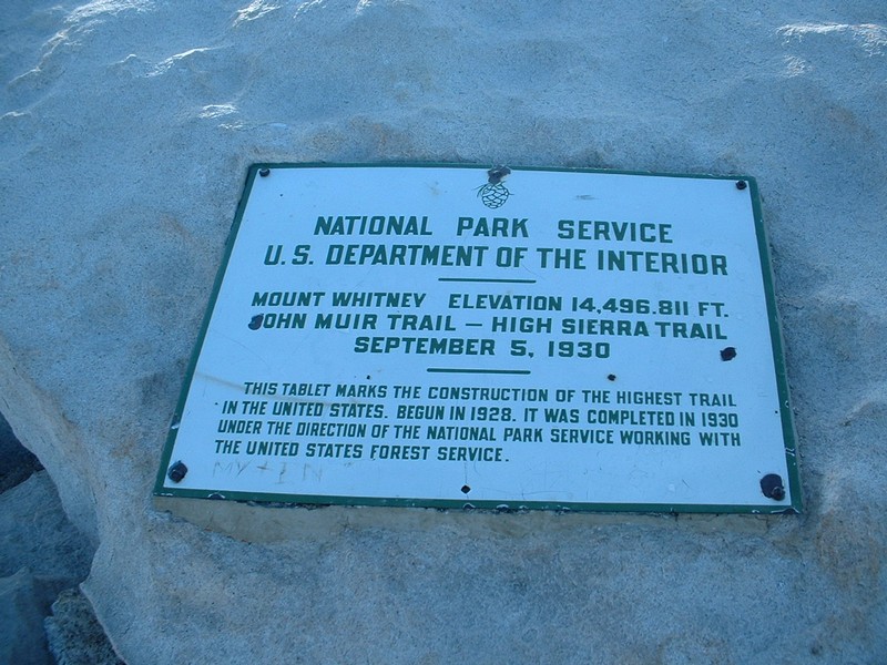
Mount Whitney - 14,497


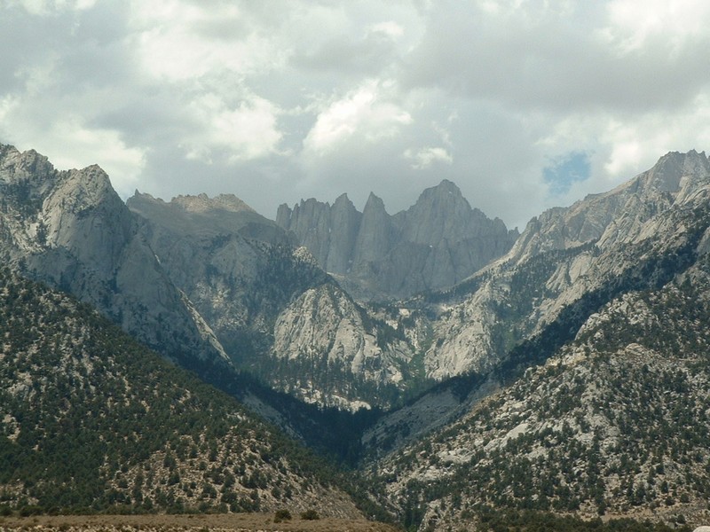
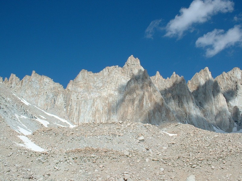
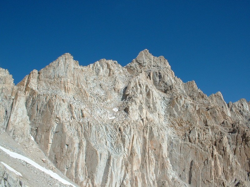
Mount Whitney viewed from the road to Lone Pine.

Trip Report (7/12/2002 and 7/13/2002):
I climbed Mount Whitney (highpoint of California, the Sierra Nevada range, the lower 48 states, Inyo and Tulare counties, etc...) with Vince Lowe and Matt Bullard. We applied for a permit back in February and received word we got the permit within a couple of weeks (contrary to what everyone told me, we didn't have to wait years to get the permit).

On the 10th of July, the summit team met in Lone Pine, grabbed some grub, then headed to the trailhead campground for some acclimation and rest. Other than a possible bear sighting, which awoke Matt from his beauty sleep, all went smoothly. (No bear was actually spotted, but a huge pile of bear dung nearby served as proof they were near. Neighbor campers on both sides had seen bears that same evening and prior morning.)

Bear warning at the trailhead campground.


Day 1:

We woke up around 5:30 AM, grabbed our packs, and headed for the trailhead. We were on the trail by 6:30 AM, but it was still hot and muggy, as California was experiencing a heat wave. We hiked a little over an hour to Lone Pine lake and took a rest. Other than a Jerry Garcia sighting, that portion was uneventful. Next we headed towards Outpost Camp and Mirror Lake. During this stretch, we finally started running into people that had summited the previous day. After 3 1/2 hours of hiking with a moderate pack, we rounded the corner and saw the solar shitter... we were at Trail Camp! Beings it was only 10:00 AM, we had nothing to do all day, but acclimate, ensure female hikers were properly outfitted, eat, drink water (18 gallons each, by order of Vince!), flip Dan crap, and enjoy the awesome scenery. After a dinner of pasta, followed by rice and beans, it was off to bed at 8:00 PM for an early AM summit push.

Lone Pine lake from above.
Mirror Lake at 10,600 feet.
Trailside meadows at around 11,000 feet.
Solar toilet at Trail Camp.
Trail Camp.
Whitney from camp.
Pinnacles from camp.


Day 2:

Despite sleeping in a tent with 2 other dudes at 12,000 feet and listening to rain hit the tent off and on through the night, I got a pretty good nights rest. We arose at 3:15 AM, peered out the tent (lots of stars), heated some water, ate some oats, then strapped on the headlamps. After a lengthy visit to the solar head, we were on the trail at 4:30 AM. Within a few minutes, we hit the first of the 97 switchbacks. It was at that time I realized the jacket had to go, it was already hot. The rest of the switchbacks went pretty monotonous. Vince and Matt were running on all cylinders, but I was set in a moderate, but steady pace - feeling a little quezy, but not too bad (altitude, maybe... gas, probably). We reached Trail Crest at 13,600 feet just as the sun came up (my favorite picture of the trip)... it was one of the most awesome sights I have seen! An hour and a half later, we were on top of Whitney, not another soul in sight! After a few quick pictures and a visit to the summit hut and toilet, we bailed this frigid place.

We arrived back at camp after passing 92 hikers. We broke down camp and headed back down after a lunch and a little rest. We arrived back at the trailhead at 1:30 PM... only the last 2 miles were a pain. Ranger Nancy performed a thorough check of Vince, including a permit check, ensuring beers were on Vince that day (previous bets had been made). Turned out to be an awesome trip with a couple of good backpacking partners and friends.

Some of the 97 swithbacks (later in the day).
Sunrise at Trail Crest (13,600 feet).
We make it! The summit hut.
Matt on top.
Vince on top.
Me on the summit toilet.
Looking north from the top.
Lake from the top (Iceberg?).
Looking west from the top.
Our names in the summit register.
Mount Whitney plaque.
Sun-cupped snow on the way down.
Snow field again.
Mt. Muir on the way down.


Trip stats:
Time: 11 hours
Length: 21.4 miles
Elevation Gain: 6,540 feet
Class (difficulty): 1

Day 1:
SectionElevationMileageElevation GainArrival TimeDuration
Trail Head
8,360
0
0
0635
-
Lone Pine Lake
9,850
2.5
1,490
0745
1 hour 10 min.
Outpost Camp
10,365
1
515
0815
30 min.
Trailside Meadows
11,395
1.5
1,060
0915
1 hour
Trail Camp
12,000
1
605
1000
45 min.
Totals
-
6.0
3,640
-
3 hours 30 min.


Day 2:
SectionElevationMileageElevation GainArrival TimeDuration
Trail Camp
12,000
0
0
0430
-
Trail Crest
13,600
2.2
1,600
0545
1 hour 15 min.
Whitney Summit
14,497
2.5
1,000
0700
1 hour (+ 30 min. on summit)
Trail Camp
12,000
4.7
300
0930
2 hours (+ 1 hour to take down camp)
Trailhead
8,360
6.0
0
1300
2 hours 30 minutes
Totals
-
15.4
2,900
-
7 hours 30 min.

*Vince made it to the trailhead at 1230. Both Matt and Vince's times for Trail Crest, the summit, and arriving back at Trail Camp would be a little less than mine (10 minutes or so), which are shown, as they were moving faster.

Directions:
Follow the signed road from Lone Pine to the Whitney Portal store/trailhead/campground.

Route:
We just did the tourist route (the Mount Whitney trail), camping at the higher of the two main camps (Trail Camp).


Please send comments, suggestions, and questions to dan@idahosummits.com.
© 2001 All Rights Reserved RockyMountainSummits.com