RockyMountainSummits.com Home  |  My Peak List  |  Message Board  |  Contact Me  |  View the Guestbook  |  Sign the Guestbook


Nov./Dec. Trips


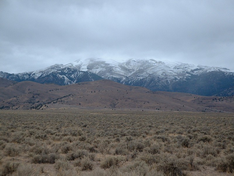
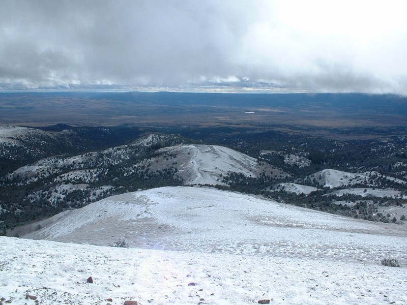
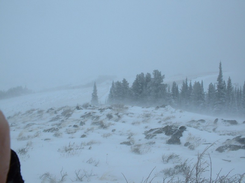
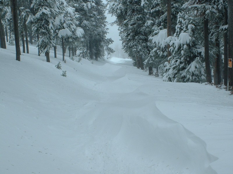
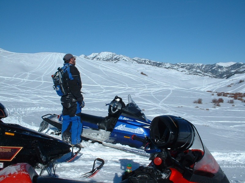
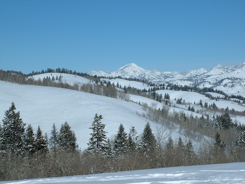
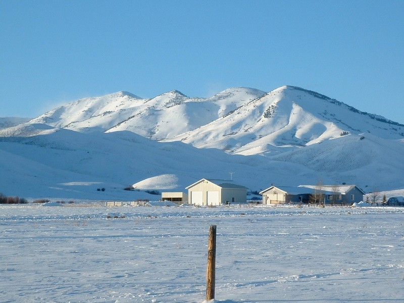
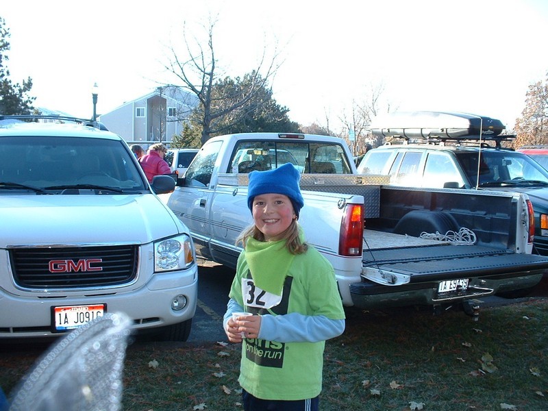
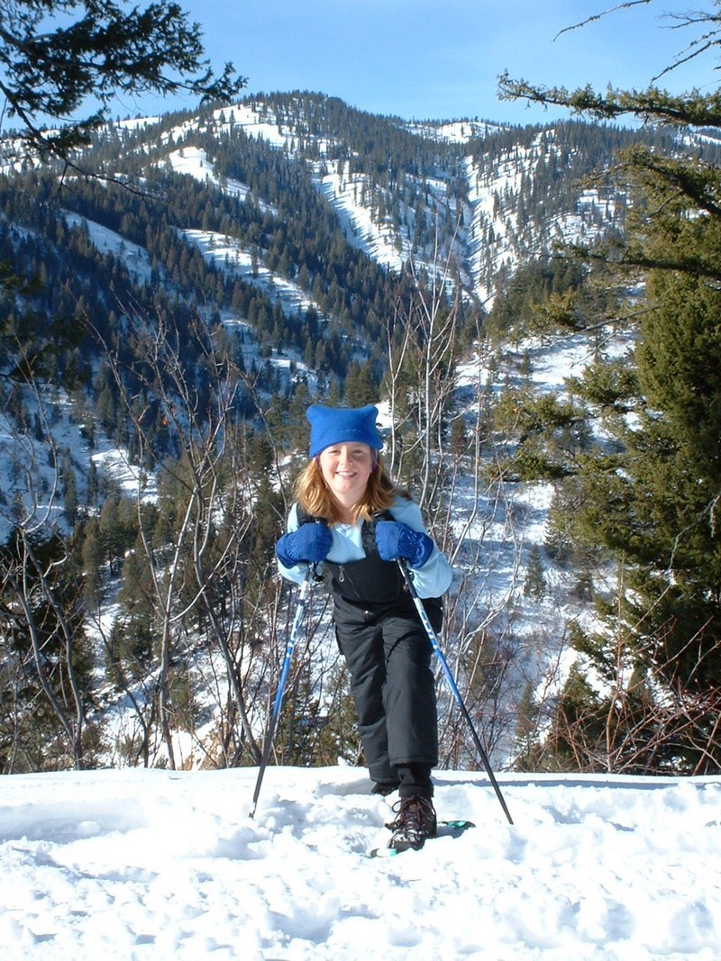
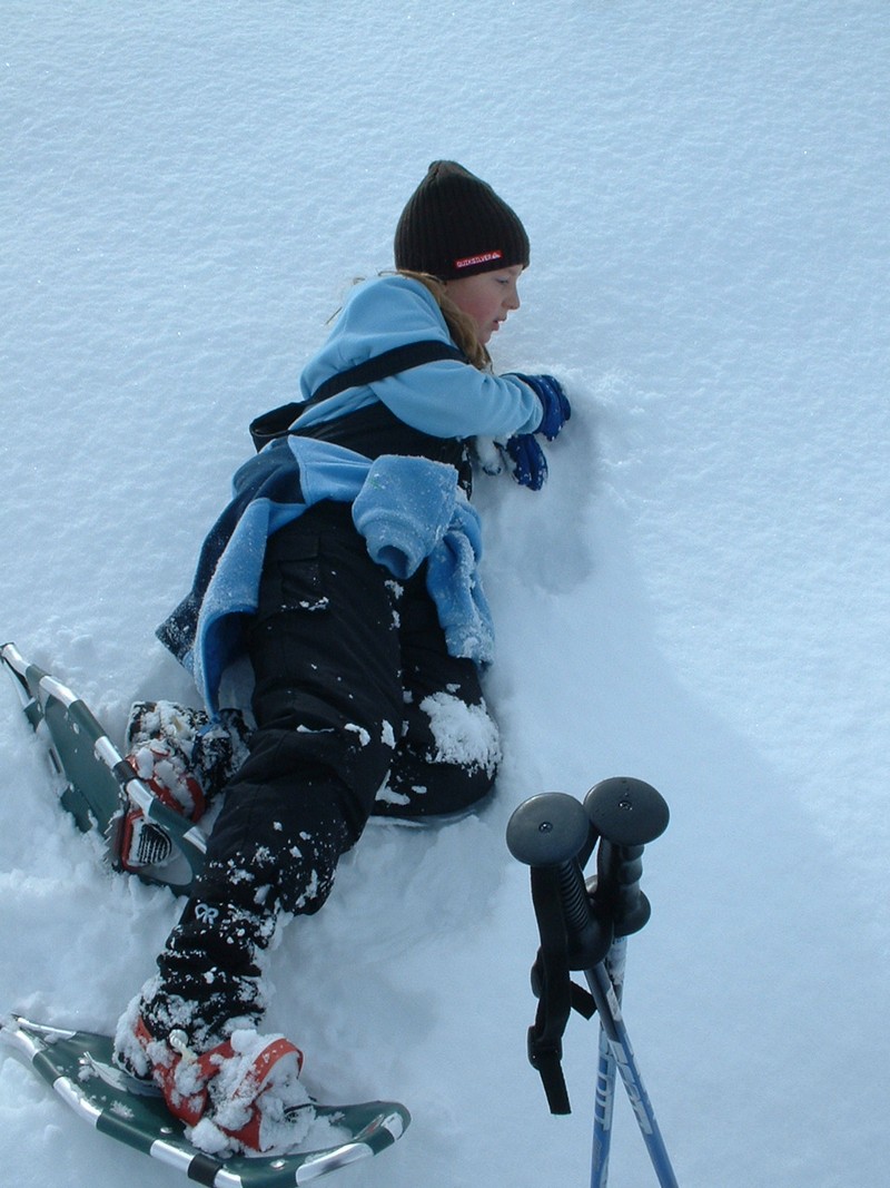
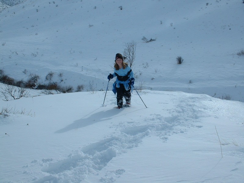
Quicksilver Mountain    Squaw Butte    Pike Mountain    Snowmobiling    My Daughter   

Quicksilver Mountain - 8082 feet


Trip Report (11/16/2003):

*Update: To see a spring trip report on Quicksilver, click here.

Just before a major snowstorm hit the area, I thought I would go do one last large mountain before retiring the boots for snowshoes for the season. I chose Quicksilver Mountain in the Owyhee Mountains. I knew the weather was not that great, as there were some clouds on the Boise foothills and it was a bit windy in town, with a storm system scheduled to arrive that evening. When I got near Murphy, I could see that I was not in for an easy ride, as thick clouds blanketed the top 500 or 600 feet of the big Owyhee Peaks.

Just to get some excercise, I continued anyway, and made it to my designated trailhead for the climb (a location about 2 miles away and 2,000 feet below the summit).

From here, I headed towards the top, fully decked out in my winter gear. The snow was about 6 inches deep, the wind about 20 mph, and the temp around 25 degrees.

After about an hour and 1,500 feet of climbing in a cold wind and snow flurries, I reached the fog layer I had seen from below. Inside the fog, the wind raged and visibility lowered to about 50 feet. Armed with my GPS and coordinates for the summit and trailhead, I forged on. After a couple hundred feet of climbing, I reached the south summit of Quicksilver. At this point, the wind was roaring and it was everything I could do to keep my feet under me. Feeling warm and confident in my navigation, I pushed on for the last 1/2 a mile. Once I reached saddle between the peak and the southern point, the wind really intensified. I was knocked down on a couple of occasions. Visibility was about 20 or 30 feet. Breathing was extremely difficult. I pushed on, trying to get on the leeward side of the ridge, but everytime I got near the spine of the ridge I couldn't maintain my balance, and had to retreat back down. I finally came to a large flat area and started heading down again. I will assume that this was the summit. The GPS seems to agree with me on that. I was starting to chill, so I moved as fast as I could back down. Once at 7,500 feet or so, the winds calmed and the fog thinned.

Trip stats:
Time: 3 hours
Length: 6 miles
Elevation Gain: 2200 feet
Class (difficulty): 2

Directions:
Make your way to Oreana, Idaho (south of Murphy). From Oreana, drive southwesterly on Bachman Grade road to Toy Pass. Once at the pass, drive 3.2 miles, then turn right onto a decent dirt road. Stay stright on that road until 4.6 miles, then take another right. Park at 7.7 miles, just before the road drops down to Bridge Creek.

Another option that would get you closer in times of good roads, would be to continue on the road another 2.4 miles to a pass that is 2 miles southwest of Quicksilver Mountain. From here you could follow a jeep road nearly to the top.

Route:
I utilized the south ridge, from the saddle just before the road drops down to/crosses Bridge Creek.

Pictures: Click on the pictures below to see the full-size version.
Quicksilver viewed from the east.
Looking to the southwest from near 7,000 feet on Quicksilver.
This was the highest location where I could see much.
Looking down from where I had come before totally being engulfed by the clouds.

Squaw Butte - 5896 feet


Trip Report (12/20/2003):
With the forecast calling for partly cloudy skies, I ventured toward Emmett to tackle the mighty Squaw Butte. Actually, it is a very steep peak. Private land, a late start, and rain/snow convinced me that my planned 3,500 foot route from the east wasn't going to work today. I headed to Emmett and followed the Butte Road that climbs all the way to the peak during the summer. I followed it to about 4,200 feet and parked.

When I reached the long ridge that is Squaw Butte, I couldn't see more than a hundred feet. There was about 1 foot of hard packed snow, so travel was easy. The top seems like it would be neat to see during clearer times, with huge dropoffs to either side and some narrow ridges with huge boulders. I will be back to check it out this spring.

Trip stats:
Time: 1.5 hours
Length: 7 miles
Elevation Gain: 2000 feet
Class (difficulty): 2

Directions:
Head north out of Emmett on Highway 52. At the juncture where Highway 52 heads east toward Black Canyon, continue north on Van Dussen Road. Follow that road for about 4.5 miles, then turn right onto Butte Road. Follow this road, which is signed as far as the top of the Butte. To get to the actual highpoint, you'll have to walk a bit.

Route:
I just followed Butte Road from about the 4,200 foot level, then hiked the snow covered road. Once on top the butte, I turned north and followed the ridge to the main highpoint. You will pass several towers and buildings along the way.

Pictures: Click on the pictures below to see the full-size version.
Marker on Squaw near a telephone building.
The telephone building.
Some rocks on a ridge.


Pike Mountain - 7710 feet


Trip Report (12/26/2003):
Being in the Twin Falls area in the holidays, I drove to the Goose Creek Mountains to get some fresh air. Like many previous trips this fall/early winter, I was blasted by fog, winds, and snow. I'm not sure that I made it to the summit or not, but I am counting it, as I realized during research that this was a peak I had previously been on but had not counted.

Trip stats:
Time: 1.5 hours
Length: 3 miles
Elevation Gain: 1000 feet
Class (difficulty): 2

Directions:
Make your way to Rock Creek Canyon south of Twin Falls. About a 1.25 miles past the ski area is a large parking area on the left hand side of the road.

Route:
I just followed a snowbound road shown going from the main road to the summit of Pike Mountain. It starts in the aforementioned plowed parking lot.

Another option is to come in from the north, via Walstrom Hollow trail (signed as a cross-country ski trail). This trailhead is exactly 1 mile north of the Magic Mountain Ski Area. I actually followed this trail to the ridge north of Pike Mountain after hiking from the other side. It is a pleasant trail that works its way up a beautiful forested drainage. Once on the ridge, you could follow it north to the summit of Pike Mountain.

Pictures: Click on the pictures below to see the full-size version.
Winds howl near the summit ridge.
More white.
Reprieve in the trees.

Snowmobiling


Trip Report (12/27/2003):
Snowmobiling trip near Fairfield, Idaho. Wells Summit to be exact.
My dad checking out the view.
Big Peak in the Smoky Mtns.
Smoky Dome from my uncle's back yard.


My Daughter


Miscellaneous Dates:
Lexie after running the Turkey Trot relay.
Snowshoeing near Mores Summit.

Lexie resting in the snow.
Snowshoeing in the Boise foothills near Hilltop cafe.


Please send comments, suggestions, and questions to dan@idahosummits.com.
© 2001 All Rights Reserved RockyMountainSummits.com