RockyMountainSummits.com Home  |  My Peak List  |  Message Board  |  Contact Me  |  View the Guestbook  |  Sign the Guestbook


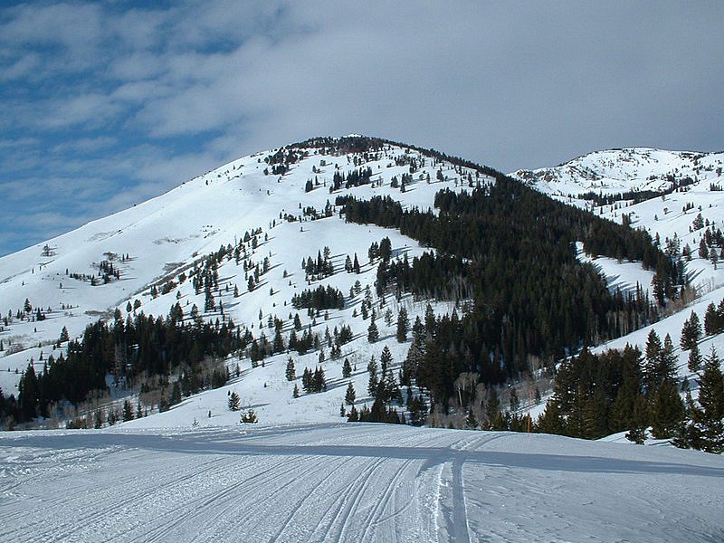
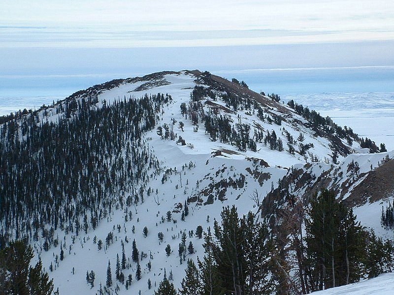
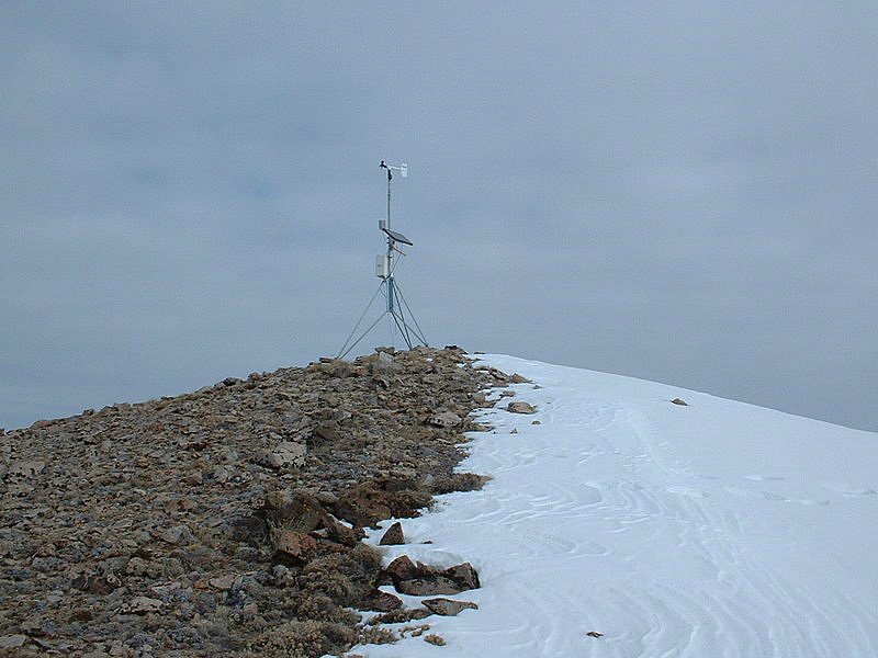
2nd Peak - 9529 Feet


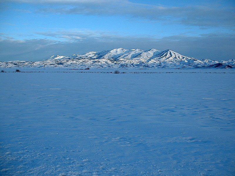
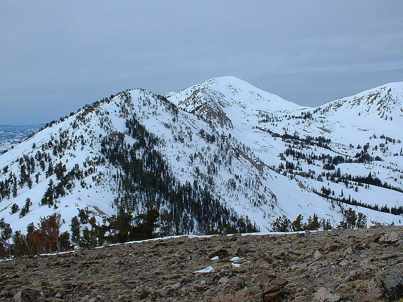
Early morning sun hitting the Soldier Mountains. This was taken on the drive to the trailhead.

Trip Report (2/06/2005):
Peak 9529 is the second peak (if moving from east to west) along the main Soldier Mountain ridgeline. Hence locals call the peak 2nd Peak. I've had my eye on it for a while now and thought a winter ascent would be pretty cool. To save some effort, I figured a ride on Soldier Mountain ski area's lifts to 7100 feet would get me within striking distance (that cuts off 1500 feet of gain). I also knew that snowcat skiing occurred in the area and that I might be able to utilize that trail for some of the hike.

I had planned on doing this peak the day before (Saturday) with 2 others. The night before my partners cancelled and when I awoke, the weather station atop the peak reported sustained winds above 50 mph and gusts to 75 mph. Uhh, not today! I convinced my awesome wife to allow me to go the next day and watched the winds hoping they would relent. They did relent and by the time I awoke Sunday morning, they were under 5 mph. Off I went.

Forgot to mention one little tidbit… since I was now going on Sunday, I had time constraints. I had to be back in Boise by 3:30 PM for a Superbowl party. Not a big deal, except this trip could not start until 9:00 AM, when the Soldier Mountain ski lifts opened. I had calculated the numbers and figured that if I left Boise at 6:45 AM, I would be at the ski area by 8:30 AM and be ready to go on the lifts by 9 AM. I then figured 4.5 hours round trip from the top of the lift to the peak and back. Lastly, a 15 minute ski down/change and I'd be back at the car at 1:45 PM and in Boise by 3:30 PM. Things would have to go off without a hitch.

On the way up the lift I realized one thing… I had not accounted for the lift time or time to change out of ski boots and into hiking boots at the top of the ski hill. I figured that at 15 minutes and figured I would just hike faster. When I got to the second lift, I was informed that yesterday's winds had messed up the ramp and that it would "be awhile" before it would be operational. Eventually the buzzer sounded and the lift churned. At 9:41 AM, I was finally in my hiking boots and heading for the peak.

I followed the snowcat trail and made decent time during the first hour. The route to that point had 2 large drops (100' +), but the groomed trail was heading right where I needed to go. I removed my fleece and hiked in just a thin polypro shirt and fleece pants - unbelievable for 8000' in February. I continued to follow the snowcat track and saw it was heading to the northeast ridge of 2nd Peak. I had heard the snowcat took skiers to the top of 2nd Peak, but figured it would only make it part of the way… nope, this sucker was heading all of the way to the summit! The northeast ridge was completely snow-free on the west side, scoured by strong winds on that side. The trees on the ridge were an amazing sight, as most were nearly laying flat from west to east. I could see the Boise and Pioneer mountains now and some snow was moving in. I summited a short while later at exactly 11:41 AM… 2 hours instead of the 3 I esitmated. After some photos, I inspected the traverse over to 3rd Peak (Peak 9666) and beyond that Smoky Dome. The ridge to 3rd would go easy, but I didn't have time today. Getting from 3rd to Smoky Dome would be a bit more of a challenge, with a narrow section of cliffs just after the 3rd Peak/Smoky Dome saddle. A fun challenge some other day.

At noon, I set off back for the ski area, which I reached around 1:10 PM. Wow, a 3.5 hour trip… I was impressed how quickly it went. Maybe that beaten path helped a bit. In my defense, I did carry my large backpack and snowshoes the entire way.

I left the ski area at 1:45 PM and was home at 3:33 PM… 3 minutes late, but close enough. What a whirlwind trip. Next time I'll take the skis the whole way as the descent from 2nd Peak would be doable even for an intermediate like me.

Trip stats:
Time: 3.5 hours
Length: 6.5 miles
Cumulative Elevation Gain: 3000 feet
Class (difficulty): 2

Map:
Topo map of the peak.

Drive:
From US 20 in Fairfield, turn LEFT onto SOLDIER RD/CENTER ST. Follow the road 1.9 miles to a stop sign. At the stop sign, turn RIGHT onto BASE LINE RD. Follow BASE LINE RD. 0.2 miles, then turn LEFT onto SOLDIER CREEK RD/NF 094. Continue to follow NF 094 (Portions unpaved) to the ski lift parking lot.

Route:
See the trip report.

Pictures: Click on the pictures below to see the full-size version.
Hyndman Peak
The ski area parking lot.
1st Peak, just to my south.
2nd Peak from the start of the hike.
soldier mountains
The top of the ski lift at about 7200 feet.
The east ridge connecting 2nd Peak to 1st Peak.
3rd Peak from 2nd Peak.
northwest ridge
Smoky Dome, highpoint of the Soldier Mountains.
The top of the peak and weather station.
Looking down the northwest ridge.
Grays Peak
Fairfield, Idaho from the top.
Cliffy area near 2nd Peak.


Please send comments, suggestions, and questions to dan@idahosummits.com.
© 2005 All Rights Reserved RockyMountainSummits.com