RockyMountainSummits.com Home  |  My Peak List  |  Message Board  |  Contact Me  |  View the Guestbook  |  Sign the Guestbook


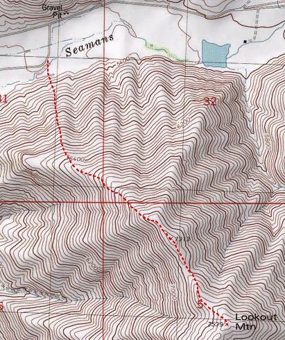
Lookout Mountain (7,539 feet)


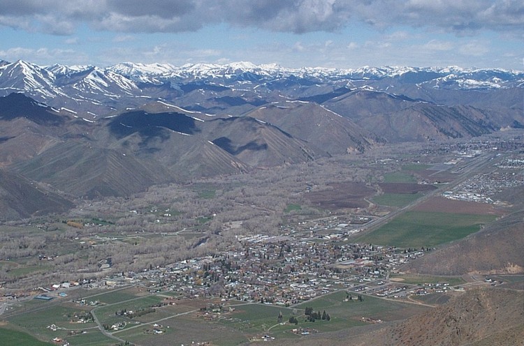
The view of Bellevue, Idaho from the summit of Lookout Mountain. Zach Vickery photo.

Trip Report (4/28/2002):
Ignoring predictions of rain, people ripping on Lookout Mountain as being a "sagebrush covered, lame-ass hill", and an old man saying the mountain we were looking at was not Lookout Mountain at all - Zach and I summited this peak, with an exceptional view of the Pioneers and the Wood River valley, on a mild, clear spring day. Along with a view, this is also an excellent spring workout, as it is a steep mountain. By the way, the sagebrush ends at about 6,500 feet and you get to walk on lovely, gravel covered ridges (with a few gendarmes blocking the ridge and forcing some climbing and route finding).

Look for several cairns on the north ridge and a couple on the true summit. There was even a tattered flag on the westernmost edge of the main summit ridge.

Trip stats:
Time: 4 hours
Length: 4 miles
Elevation Gain: 2,500 feet
Class (difficulty): 3

Directions:
Drive to Bellevue, Idaho. Turn east on Seaman's Gulch Road. Drive to the ranch entrance (a gravel pit is on your left), and turn right (south). Drive this road until just before it banks back towards town and park. According to the local we spoke with, the fenced area you briefly cross is a wildlife management area and the owner is not concerned about you crossing. You may want to phone ahead and confirm that or try a different route (southern routes may be more accessible), but we trusted the elderly gentleman.

Route:
Bushwhack up the sagebrush for about 1000 feet (extremely steep at first, but moderates later) and gain the northwest ridge. Follow the ridge up to point 7313, where it heads more due south. The rounded slope 1/4 mile ahead is Lookout Mountain. If we had done the peak a little earlier in the spring, a glissade would surely be possible, saving the knees from the tortuous down climb. We still got a couple of small glissades in regardless.

Map of the Route:


Pictures (by Zach Vickery): Click on the pictures below to see the full-size version.
The Pioneers from Lookout Mountain.
Looking down the steep route.
A beautiful shot of the Timmerman Hills.


Please send comments, suggestions, and questions to dan@idahosummits.com.
© 2001 All Rights Reserved RockyMountainSummits.com