RockyMountainSummits.com Home  |  My Peak List  |  Message Board  |  Contact Me  |  View the Guestbook  |  Sign the Guestbook


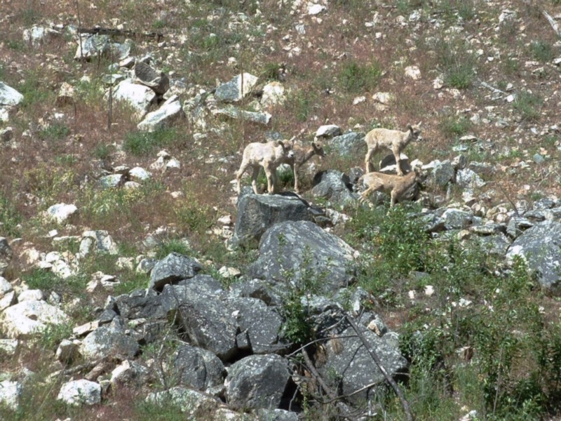
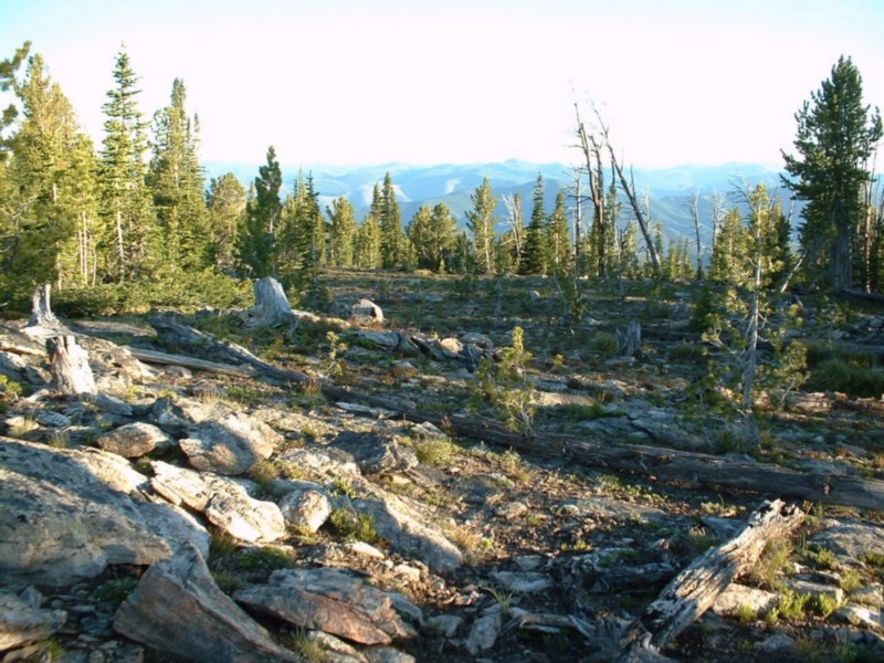
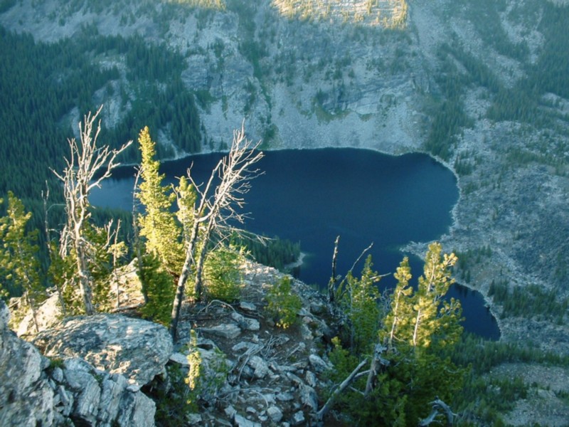
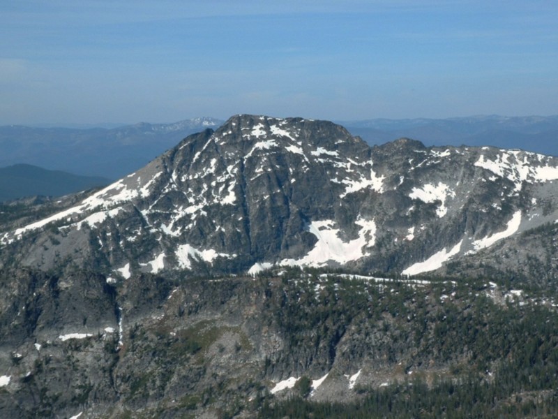
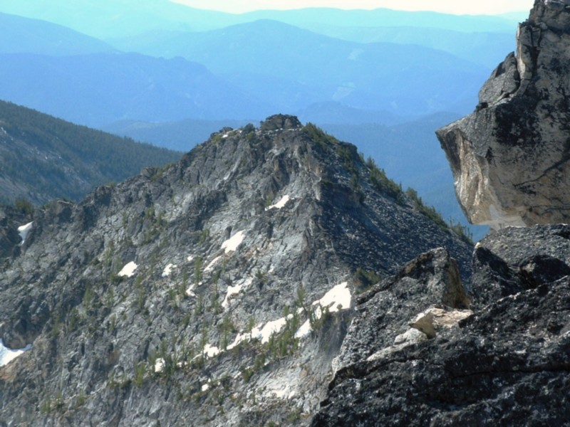
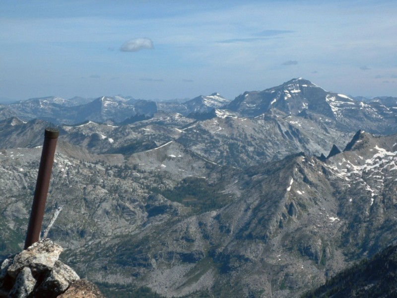
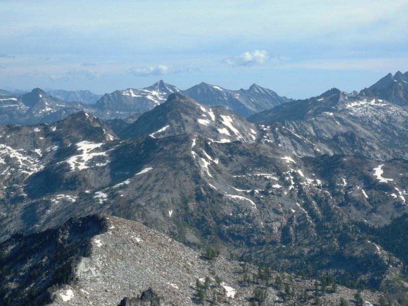
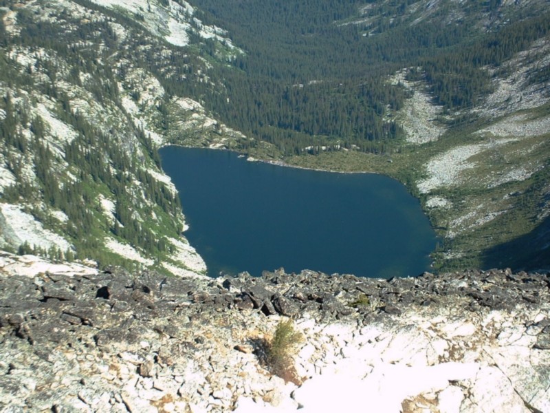
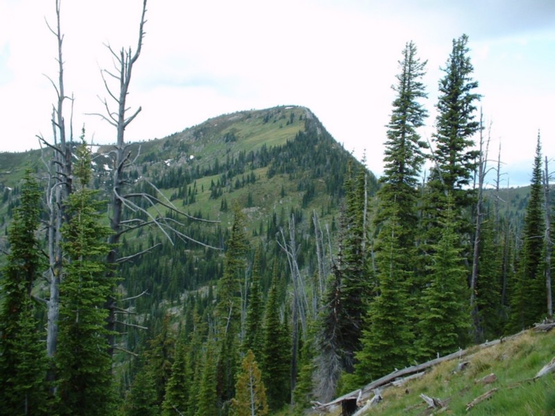
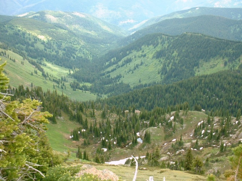
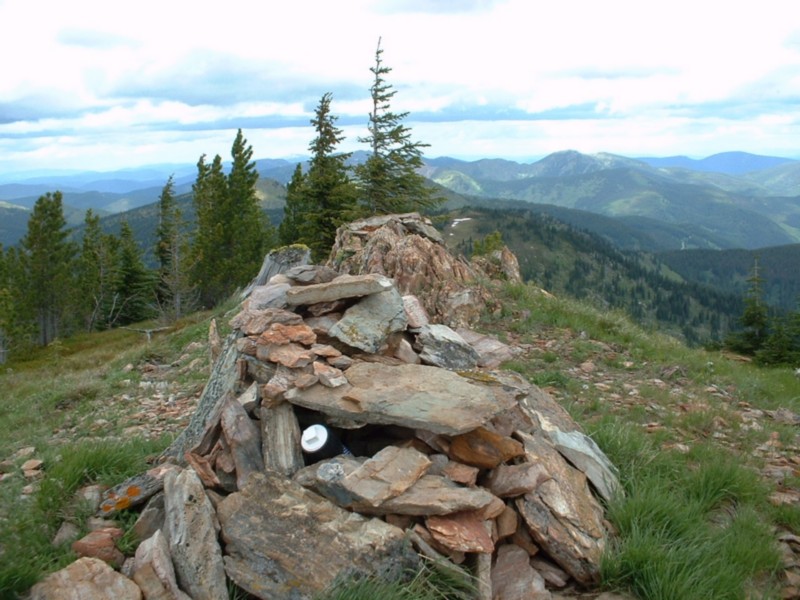
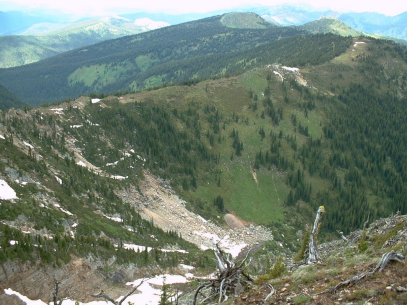
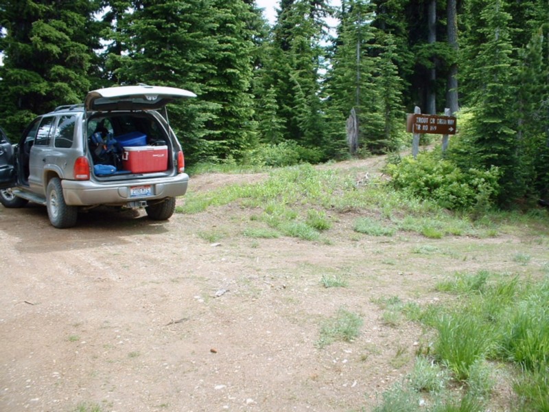
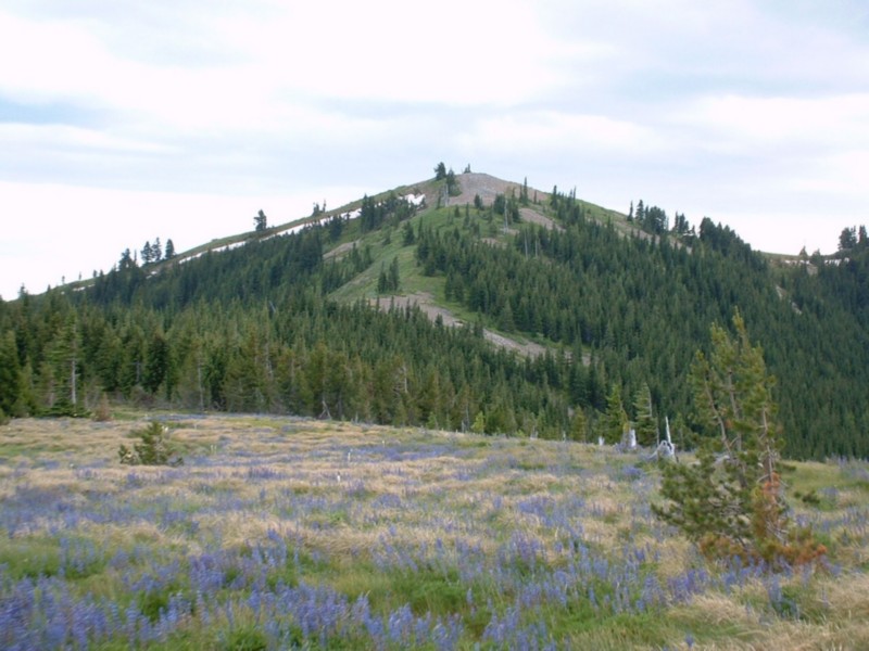
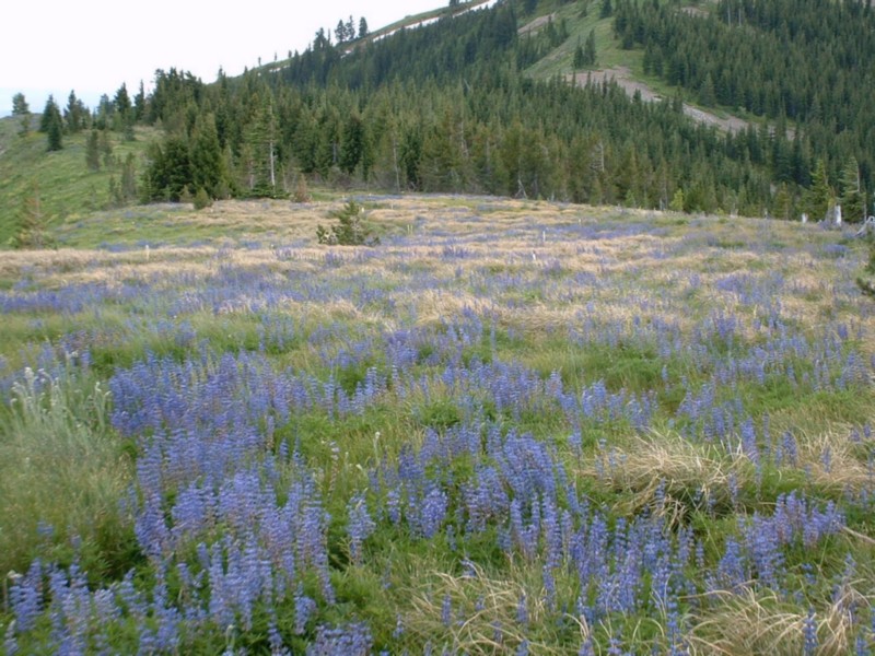
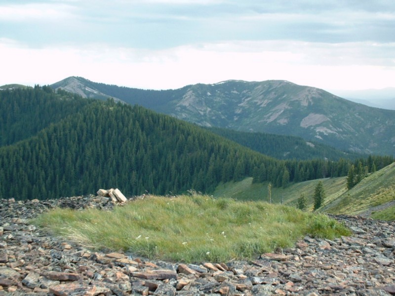
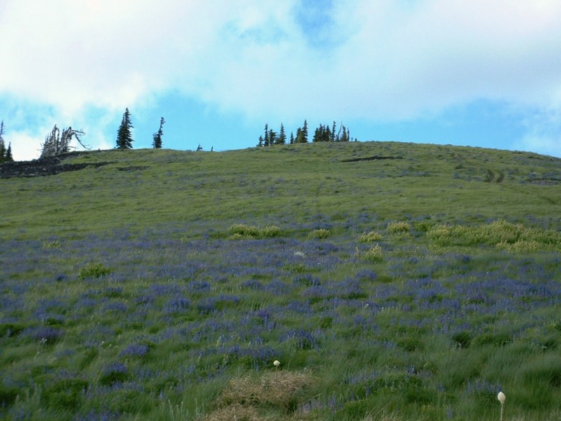
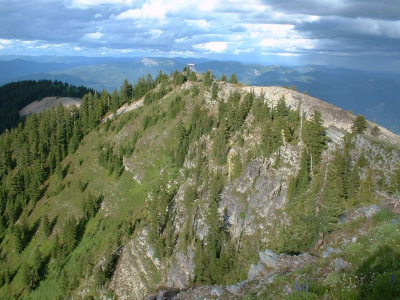
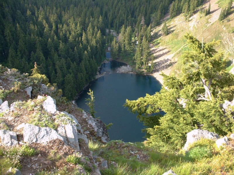
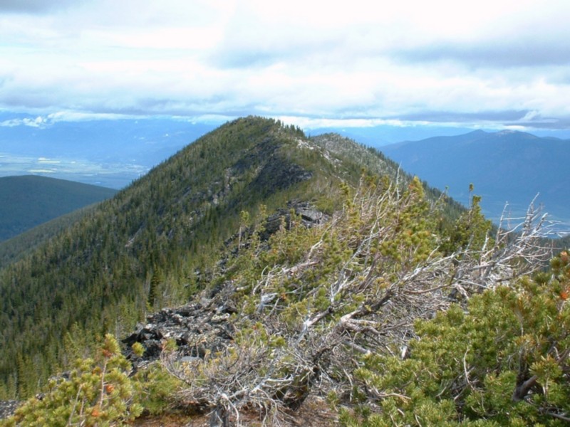
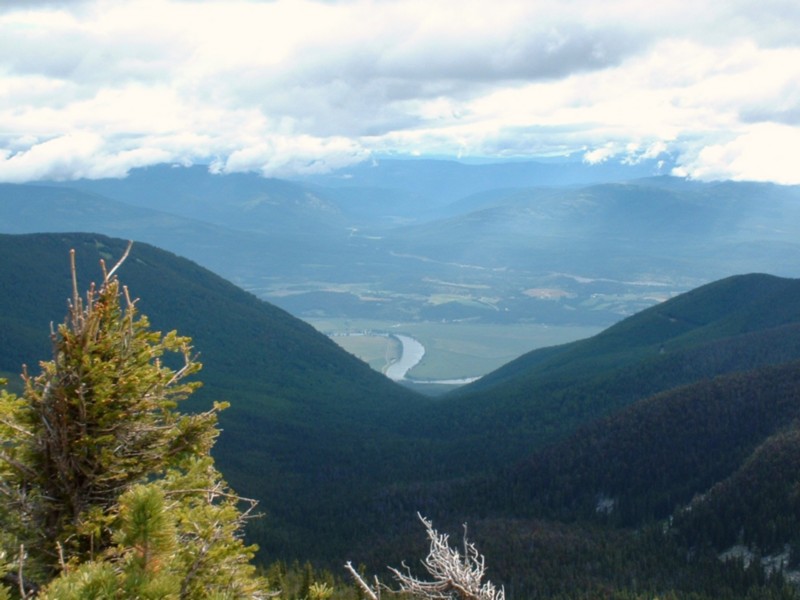
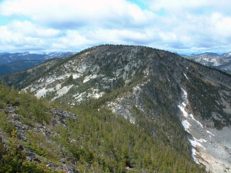
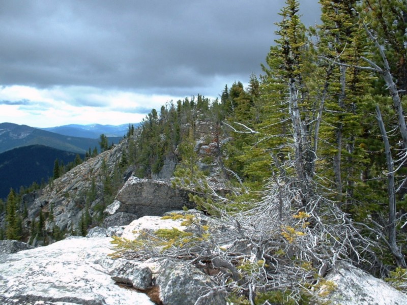
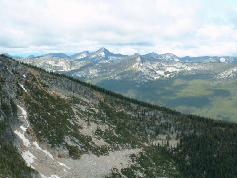
North Idaho County Highpoint Trip 2004


Day 1    Day 2    Day 3    Day 4    Day 5    Family Photos

Day 1

I drove over to Montana to get into position for the Idaho County highpoint, which is accessed from the Darby area in Montana. Take Highway 473 west from its junction with US 93 to the Nez Perce Road, then onto the Nelson-Gemmel Road. After about 2.5 miles turn onto FS 5633. Follow this to the Nelson Lake trailhead. The Idaho County highpoint is at the end of a ridge that starts in Montana and stretches west about 15 miles. The peak is unnamed and only marked by a jar with a register and a stateline post. It is also a brute of a trip, requiring a 13 mile hike and 5600-foot gain (cumulative).

To get to the Idaho cohp, you hike on the Nelson Lake trail until about 7500 feet, then stay on the ridge when the trail forks off to the north and down to Nelson Lake.

Arriving early at the trailhead, I decided to backpack in a few miles and make the next day easier. So I hiked in about 3 miles and 2500 feet and setup a tent high above Nelson Lake in Montana. This was a dry, but beatiful site to camp.

Goats on the roadside (scruffy looking for mountain goats).
My camp at Point 8611.
Nelson Lake from camp.


Day 2

After a good night's sleep, I headed out with a day pack for the highpoint. My goal was to stick to the ridge the whole way, which stayed above 9000 feet. That worked fine, but between spot elevation 9140 feet and Peak 9459 I ran into towers blocking the ridge. Frustrated, alone, and miles from anything… I chose to bail off the ridge to avoid class 4 climbing. I dropped to about 8600 feet and crossed the base of the towers. I side-hilled at around 8900 feet (below Peak 9459 in Montana) and made a b-line for the saddle between 9459 and Bare Peak. I scrambled up Bare Peak, then saw the route to the Idaho cohp. It was along a ridge with about 5 rock towers. I stuck to the south side of the ridge and was doing fine about 50 feet below the towers. About a tenth of a mile from the tower, a few rock fins required hard class 3 climbing to get over. I finally reached the highpoint, which is a small rock outcropping, with huge drops on all sides except the ridge I had followed. I found a register and metal pole, but not other signs of human presence. The register had just 3 names it, which were the only 3 people that I knew had summited the peak.

After some photos and a quick bite, I headed out. I got off route, but an exposed move (low class 4?) got me back on route and through the worst of the climbing. I again stayed at around 8900 feet until I past 9459, then dropped to 8600 feet. Instead of regaining the ridge at 9000 feet, I just stayed around 8600 to 8700 feet and side hilled back to the saddle between Point 9140 and Point 8611 (where I left my tent). After breaking down the tent and reloading my backpack, I hiked out to the car, happy to have finished off Idaho's largest and most remote county highpoint!

Trip stats:
Mileage: 13
Elevation Gain: 5600 feet
Time: 11:30
People: 2 (at the trailhead)
Class (difficulty): 2

Photos (click on them to enlarge):
Looking south from the ridge.
Bare Peak, which I climbed in route. You can see the rocky nature of this area!
The highpoint of Idaho County.
Looking north from the highpoint.
Canyon Lake west and below the Idaho cohp.


I then returned to US 93 and drove north through Montana to US 12, which I followed over Lolo Pass and eventually to the Powell ranger station. My goal was the Clearwater cohp. I had spoke several times with the rangers and they said the road was blocked due to snow. I really didn't think it was and seeing the area so snowless, I thought I would give it a shot. I headed up FS 569, then continued on FS 500 (Lewis and Clark's route). After miles of side hilling and rough roads, I finally reached the highpoint of the road on the north side of the hill (the allegded snow blockage). I saw 2 areas with a few inches of old snow, but nothing blocking the road. It was also at this point I noticed trees had been removed from the road by a crew. I was going to make it! At Cayuse Junction I made a right turn onto FS 581. After about 1 mile, I parked at the start of trail 35 (Silver Creek trail). I camped near the trailhead and was going to use this trail to ascend Rhodes Peak.

Day 3

I woke up around 3 AM to a light rain. I knew the forecast called for a slight chance, so I fell back asleep with no worries. At 6 AM I woke to a downpour. I decided a 7 AM start would be fine too. So at 7 AM I shouldered my pack and found the trail. It was under about 3 or 4 inches of water. Oh well, I headed down it. Even with rain gear, I was drenched within 2 minutes. It was also foggy and starting to rain hard again. Enough was enough… I bailed. On the way out (rough, steep roads), it really started to rain. At one point - along a burn area from the previous fall - I looked up at the slope and water was running straight off it and forming huge creeks in the draws. Unreal! A few miles later, an interpretive sign read that Lewis and Clark had camped there in late June with snow and rain making it none to nice (tell me about it!). I returned to Montana and headed north to Shoshone cohp. With clearing skies the further I headed north, I knew I could just move each day's plan up. So I drove to Superior, MT and headed to Freezeout Pass to do Illinois Peak (Shoshone cohp).

Day 3, Highpoint 1

From Freezeout Pass , I followed a trail up the western ridge to the summit. This was a scenic route, but it was a bit windy and cold. The top is grassy, with two cairns, one a giant pile of rocks. Both had registers.
Trip stats:
Mileage: 5
Elevation Gain: 1900 feet
Time: 1:45
People: 0
Class (difficulty): 1

Photos (click on them to enlarge):
Illinois Peak from the east.
Looking east from Illinois Peak.
Summit of Illinois Peak.
Looking west from Illinois Peak.
The Illinois Peak trailhead.


I then headed back to Superior and turned west onto I-90, which I followed to Cataldo, Idaho. Here I followed roads to the saddle between Latour Peak (Kootenai cohp) and the unnamed Benewah cohp.

Day 3, Highpoints 2 & 3

From Cataldo, take Latour Creek Road south 9.5 miles, then turn east onto Twin Crags Road (FS 2309). Continue on this road, at 12 miles make sure you stay straight and take the road signed "Boise Peak". Follow the road to its end at 18.2 miles, between the Kootenai and Benewah county highpoints.

From the saddle between the two highpoints, I headed south to the Benewah county highpoint. This was easy on an ATV track and one area on the ridge was covered in purple flowers. Once near the highpoint, I spent some time walking around the area, making sure to hit the highpoint. I then raced back the the truck, grabbed a drink of Gatorade, and headed up to Latour Peak. Latour Peak is a nice peak and drops several hundred feet straight down to Mirror Lake. Too bad the ATVers have torn up the south face of the mountain.

Trip stats:
Mileage: 5
Elevation Gain: 1000 feet
Time: 1:30 (1 hour for Benewah, 30 minutes for Kootenai)
People: 0
Class (difficulty): 2

Photos (click on them to enlarge):
Peak 6168, the Benewah highpoint is right of it.
Flowers on the ridge to the Benewah highpoint.
Looking south from Peak 6168.
Latour Peak.
Lookout just east of Latour Peak.
Mirror Lake below Latour Peak.


I then drove down and got to Coeur d' Alene at 9 PM. I was exhausted and not sure where to stay. I was planning on doing the Boundary cohp the next day, but not sure if I could make it to the trailhead. Regardless, I headed up there after dinner. I couldn't find a campsite, so I turned off onto a gated road about .5 miles from the trailhead for the Boundary cohp. I turned off the truck at 12:44 AM. What a day!


Day 4

After a decent night's sleep, I headed to the trailhead for Boundary County's highpoint (the Fisher Peak trailhead). This trail is shown on the Pyramid Peak quad, but behaves a bit differently and gets you to about 7300 feet and just below the first possible highpoint for Boundary county (Peak 7680+). A quick scramble on open, bouldery terrain got me to the stunted-tree covered summit. My next goal (Peak 7709) was in view and about 1/3 a mile away. I dropped to the pass between 7680+ and 7709 through steep trees (the only obstacle). Once at the saddle, I headed west up the ridge to 7709. Stay left when faced with the first rocks blocking the ridge, then wiggle your way up the ridge. It was class 3 on my ascent, but I found the advertised class 2 route on descent. I found a register near the 7709 x on the quad. I then headed south to a potentially higher area, complete with its own cairn and register. I signed both, then departed. I just went back to the 7680+ and 7709 saddle. I cut across 7680+ on its south side, avoiding a 100 feet of gain or so.

Trip stats:
Mileage: 10
Elevation Gain: 4000 feet
Time: 5:10
People: 0
Class (difficulty): 2-3

Photos (click on them to enlarge):
Peak 7680+ from the Fisher Peak trail.
The ridge heading north from Peak 7680+.
The Kootenai River Valley from 7680+.
Peak 7709.
The tree-covered summit of 7709.
Looking west from 7709.


Finally, a early finish and little driving to get to tomorrow's hike! I headed to Sandpoint for an all-you-can-eat buffet and visit to the public library. After goofing off until 7 PM, I headed to Clark Fork, Idaho and eventually to the trailhead for Scotchman Peak.

Day 5

Scotchman Peak is a pretty popular hike and has a trail to its summit. I camped right at the trailhead (a small clearing in large trees). I hit the trail at 5 AM. After 10 minutes of hiking, I encountered a bear on the hillside above the trail. It ran off after a minute staredown with me (damnit bear, this is my last highpoint of the trip and I've got to drive to Spokane, wash clothes, and shower before picking up my wife and kid at the airport… skiddaddle!).

I reached the summit in 2.5 hours, but was disappointed that the air was hazy (forest fires near Chelan, Washington), the sun would limit photographing the summit and anything to the east, and the infamous summit goat was nowhere to be found. After an hour on top, I headed down. The hike down was uneventful, but the 5 people I ran into either had bear spray or pistols for bear encounters… hmmm, maybe a purchase I'll need to make in the future.

Trip stats:
Mileage: 6
Elevation Gain: 3700 feet
Time: 4:50
People: 4
Class (difficulty): 1

Photos (click on them to enlarge):
Scotchman Peak from the approach road.
The mighty west face of Scotchman Peak.
The summit of Scotchman Peak.
The town of Clark Fork.
Lookout remnants on Scotchman.
Goat Mountain from Scotchman Peak.


After 3 days of relaxing in Spokane and Coeur d' Alene, my wife, daugher, and myself hit the Latah (saw a bear), Lewis, and Nez Perce cohps on the way back to Boise. Check out photos of that mini-vacation below.

Family Vacation Photos

Spokane's Riverfront Park.
Lake Coeur 'd Alene.
Carrie and Lexie hiking at the Wolf Recovery Center.
The lame highpoint of Lewis County.
The okay highpoint of Nez Perce County.
The lookout atop Latah County's Bald Mountain.


Please send comments, suggestions, and questions to dan@idahosummits.com.
© 2001 All Rights Reserved RockyMountainSummits.com