Stats
Date: 6/18/2007
Distance: 9 miles
Elevation gain: 4200'
Class (difficulty): 3
Time: 7 hours
Report:
I had not been out climbing for a while, so when the opportunity presented itself, I took a day off to allow my daughter to hang out with grandma and grandpa and for me to get up into the mountains.
Not sure how I wound up choosing to climb "The Cone", but I think it was because I hadn't been up to the West Pass area for a while and when I was there I couldn't see much. I kind of thought of doing Kent Peak, but the 5000' of vertical scared me off. Lucky decision, because the 4200' on The Cone was plenty.
I didn't get hiking until about 9:30am on a beatiful early summer day. I had hiked the trail before, but had forgotten how much mileage and ups and downs one must do on the trail and still have no elevation gain to show for it hours into the hike. But I finally made it to the fork in the trail that headed off towards West Pass and started making some elevation gain. Just as the trail turns toward West Pass, I dropped down into a basin at the base of Kent Peak. This basin is gorgeous, with several creeks flowing through it. I just headed for the saddle between The Cone and Kent Peak. The going was easy, and a snow slope allowed me to avoid lose scree slopes.
Once at the saddle, I headed up the east ridge of The Cone. The scree is a bit lose, but manageable. About 300 feet below the summit, you can finally see the top of the peak. From this aspect, it looks like a technical climb. I was worried that the one trip report I had read had understated the difficulty and I was in for a challenge. However, as I approached the summit block, a protected, class 3 route led directly to the top.
From the top, I took in the sunshine and views. I was feeling good, but a bit behind schedule. So I decided to take a direct path back to the trail via the west face of the peak. I had eyed it on the way in and from the top it looked doable as well. 2 hours later, I cursed the decision, as the west face was steep and full of lose rock. I slid, tumbled, and cussed my way back down to the trail. What had been a superb day was now damaged a bit by the unpleasing descent.
Once back at the trailhead, I spotted some middle aged guys sipping on beers. Before I had even taken off my pack, I was offered a cold, imported beer. That lightened the spirits a bit. Turns out the guys were from back east and spending a week in Idaho's mountains. I gave them some trip ideas and headed on my way.
Getting there:
Take Idaho 75 north about 5 miles and turn right at the SNRA headquarters. From there, follow the road (which soon turns dirt) about 5 miles to its end. At the road's end, look for the signed North Fork trail.
Hiking instructions:
Follow the trail up the North Fork of the Big Wood River. You will be hiking toward a high ridge that trends west to east. When you reach the ridge, the trail (and river) forks... head northeast on a trail that immediately starts to switchback and gain elevation. Follow the trail to approximately 9000' to a basin. Hike through the basin and to the saddle between Kent Peak and The Cone. From the saddle, hike up the east ridge of The Cone to the summit.
|
|
Photos
|
|
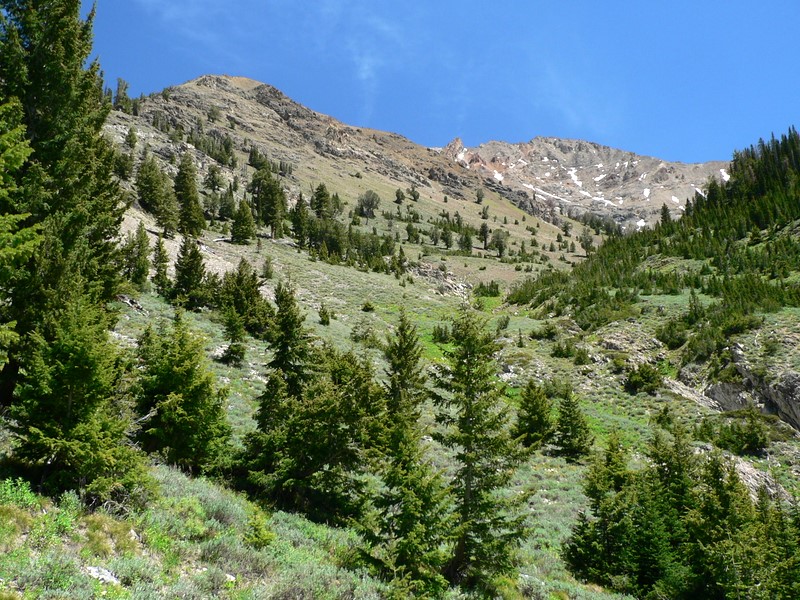
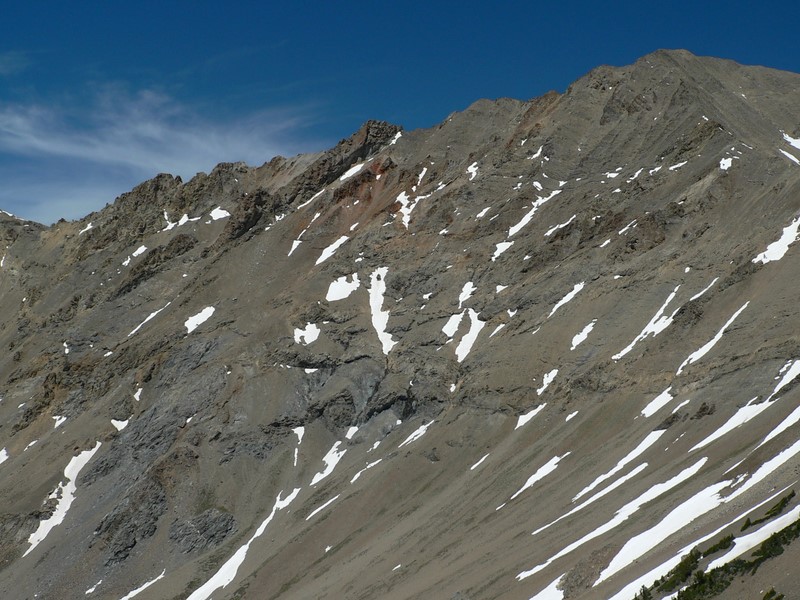
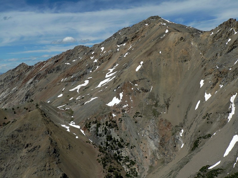
| Looking at the lower part of the basin. |
The upper basin below Kent Peak. |
| |
|
|
|
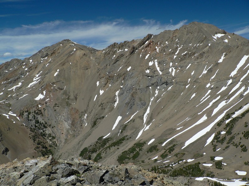
| The Boulder front from the basin. |
The Cone from the trail to West Pass. |
| |
|
|
|
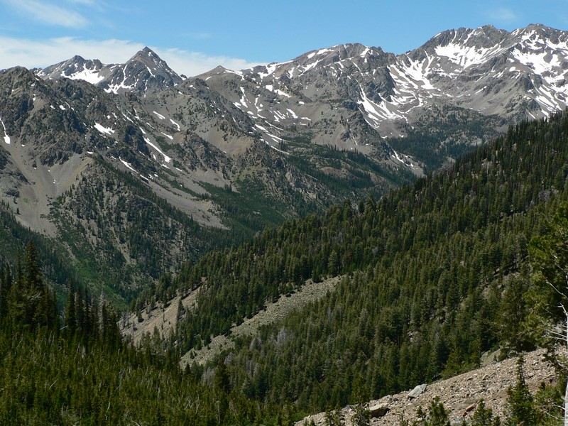
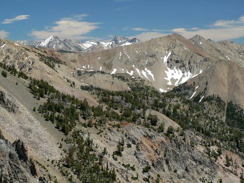
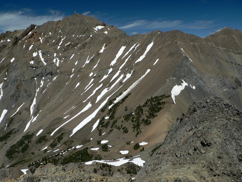
| The ridge between Kent and Ryan peaks. |
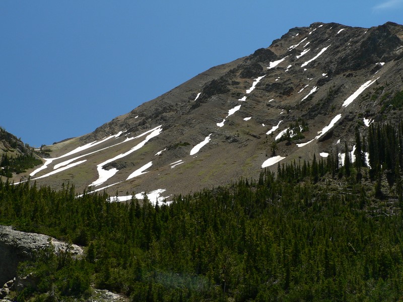
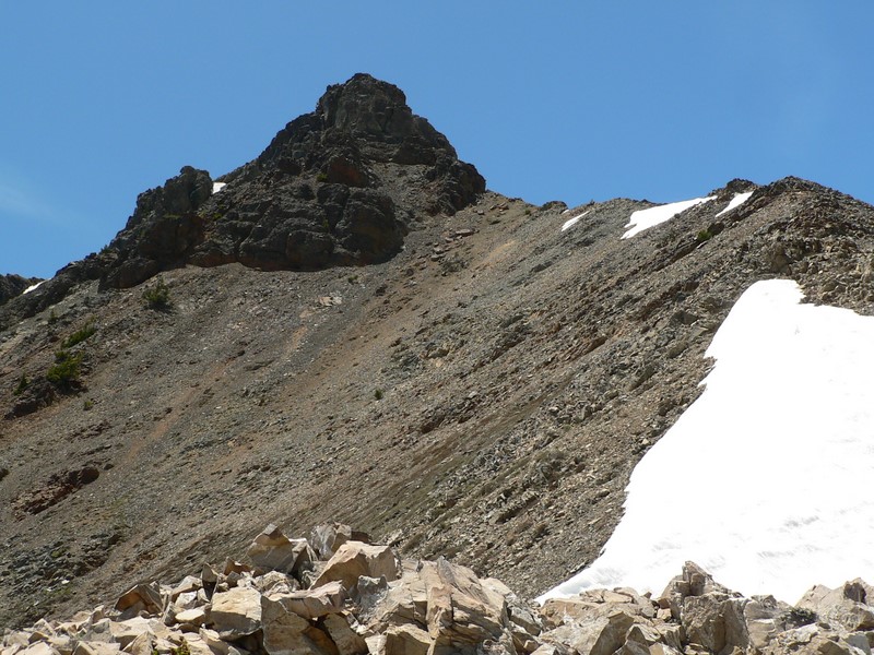
The last 300' of the east ridge of The Cone. |
| |
|
|
|
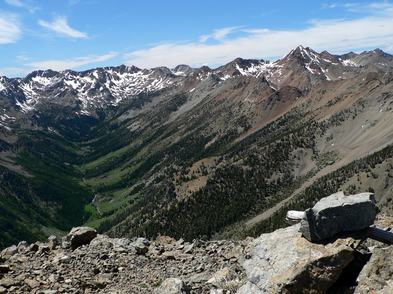
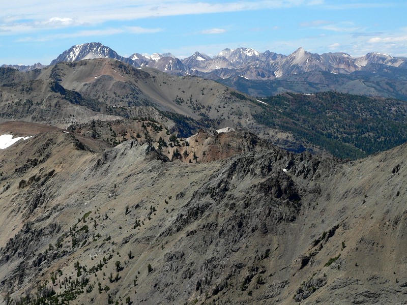
| The Pioneer Range from The Cone. |
Glassford Peak. |
| |
|
|
|
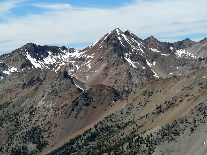
| Ryan Peak and West Pass. |
Ryan Peak and Kent Peak. |
| |
|
|
|
| Kent Peak. |
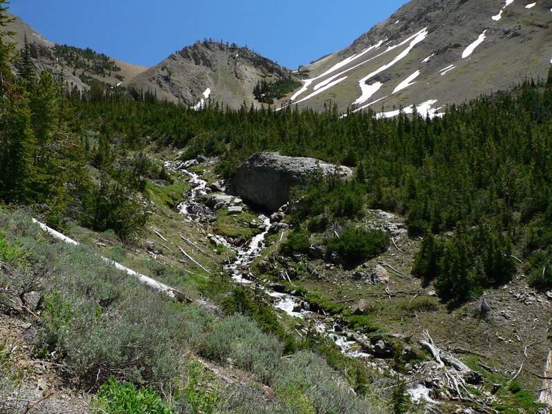
North Fork of the Big Wood River. |
| |
|
|
|
| The White Cloud range from the summit. |
Large summit register on the peak left by Sean (IdahoKid)! |
|